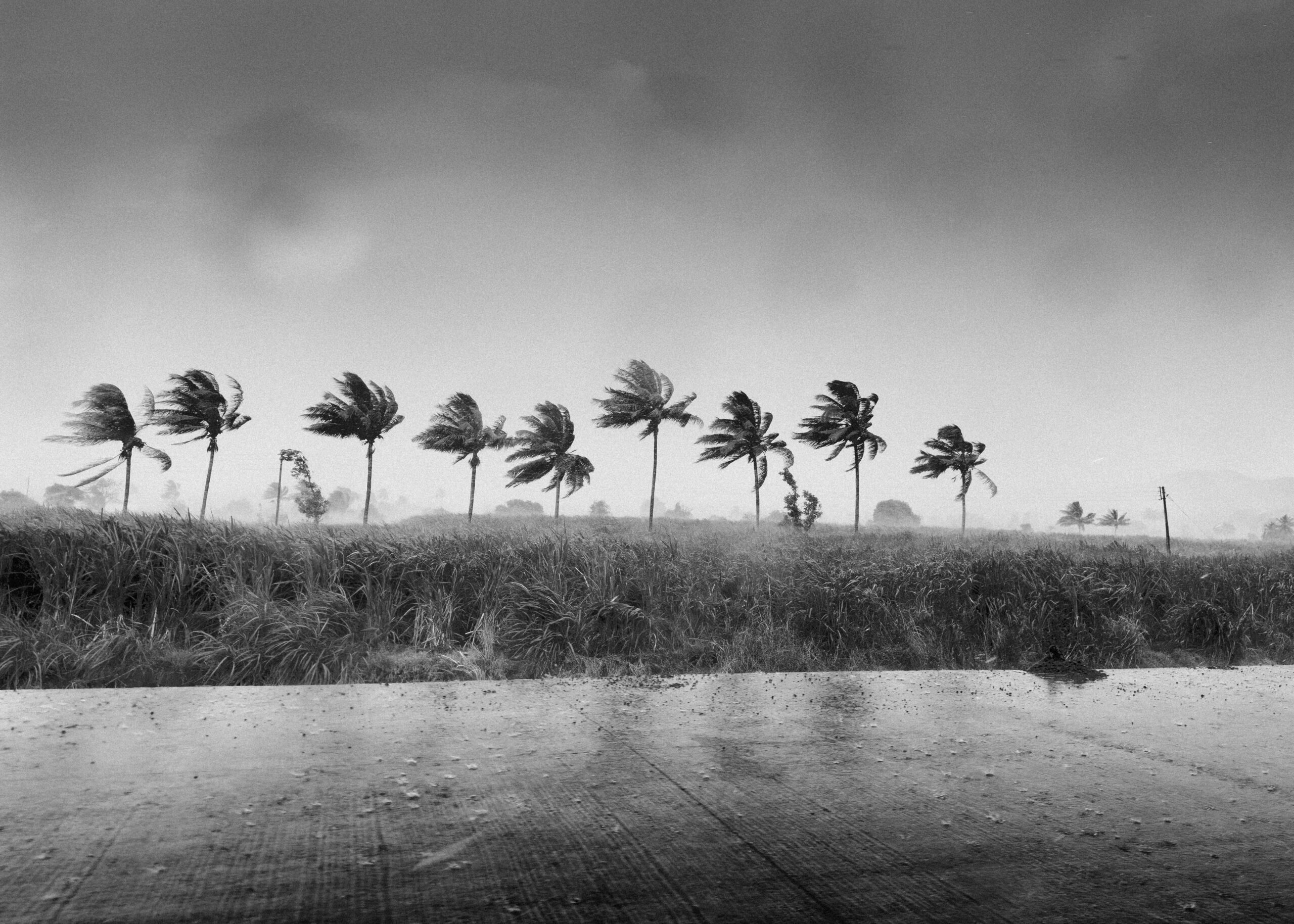
The National Weather Service (NWS) defines a nor’easter as a storm along the North American East Coast where winds over coastal regions typically originate from the northeast. Although these storms can form year-round, they are most common and intense between September and April. Such systems nearly always produce heavy rain or snow, gale-force winds, rough seas, and occasional coastal flooding. For this weekend’s event, the strongest wind gusts are expected to reach between 40 and 60 miles per hour along the Mid-Atlantic and Northeast coasts. Offshore buoys off the Northeast coast could record gusts of up to 74 mph, a force equivalent to a Category 1 hurricane.
AccuWeather meteorologist Chad Merrill noted that the storm’s most significant impacts will be major coastal flooding and beach erosion, driven by persistent northeasterly winds pushing ocean water onto the shore. Areas expected to face substantial damage include the stretch from Atlantic City to Cape May in New Jersey, the Delaware coast, the Virginia Beach to Nags Head corridor in North Carolina, eastern Long Island, and the eastern Massachusetts coastline.
Infrastructure and public safety concerns are also prominent. Regional power outages are anticipated on eastern Long Island and from Cape Cod to Boston. Eastern Massachusetts may receive between four and eight inches of rain. The storm’s impact on coastal restoration efforts is expected to be substantial. Beaches in Ocean City, New Jersey, which underwent replenishment projects in the summer following erosion from Hurricane Erin in August 2024, a coastal storm in October 2025, and a blizzard in February 2026, will likely require further restoration work. Additional replenishment projects may be necessary for other northeast-facing beaches along the Mid-Atlantic and Northeast coasts due to the persistence of the gusty winds.
Winter 2026 Outlook: El Niño and Polar Vortex Dynamics
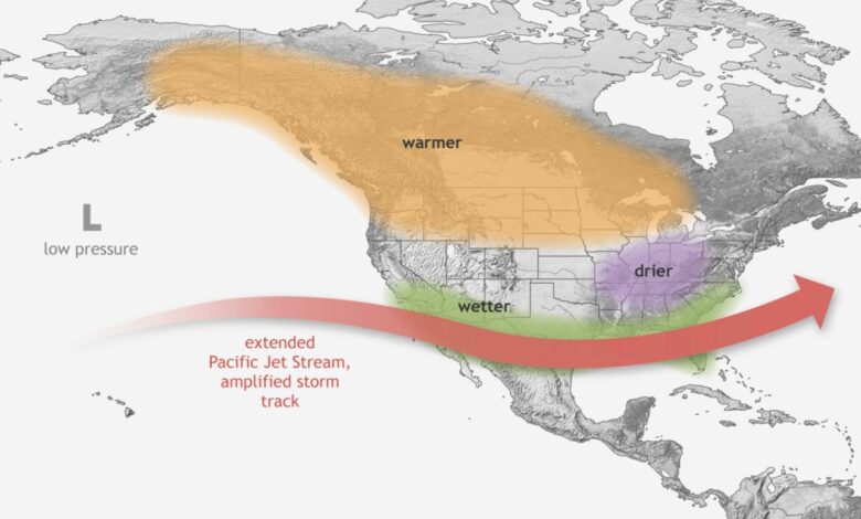
Beyond the immediate weekend threat, the winter 2026 outlook is being defined by the interaction of El Niño and the polar vortex. El Niño, a recurring pattern of ocean-atmosphere interaction in the Pacific, is currently described as record-breaking. While the specific regional temperature and precipitation anomalies for individual states are complex, the presence of a strong El Niño generally influences global weather patterns, often affecting winter storm tracks and temperature deviations across the United States.
Simultaneously, the polar vortex—a large area of cold air and low pressure surrounding Earth’s poles—will play a critical role in the severity of winter cold snaps. According to the NWS, the polar vortex is present year-round but weakens during summer and strengthens during winter. It frequently expands during the colder months, sending blasts of Arctic air southward over the U.S. Forecasters identify the Great Lakes and the Northeast as the regions most susceptible to these cold air intrusions. States bordering the Great Lakes, including Minnesota, Wisconsin, Michigan, Illinois, Indiana, Ohio, Pennsylvania, and New York, face elevated risks of extreme cold. The broader Northeast, encompassing New Hampshire, Vermont, Maine, Massachusetts, Rhode Island, Delaware, New Jersey, New York, and Pennsylvania, is also within the primary zone of vulnerability for polar vortex events.
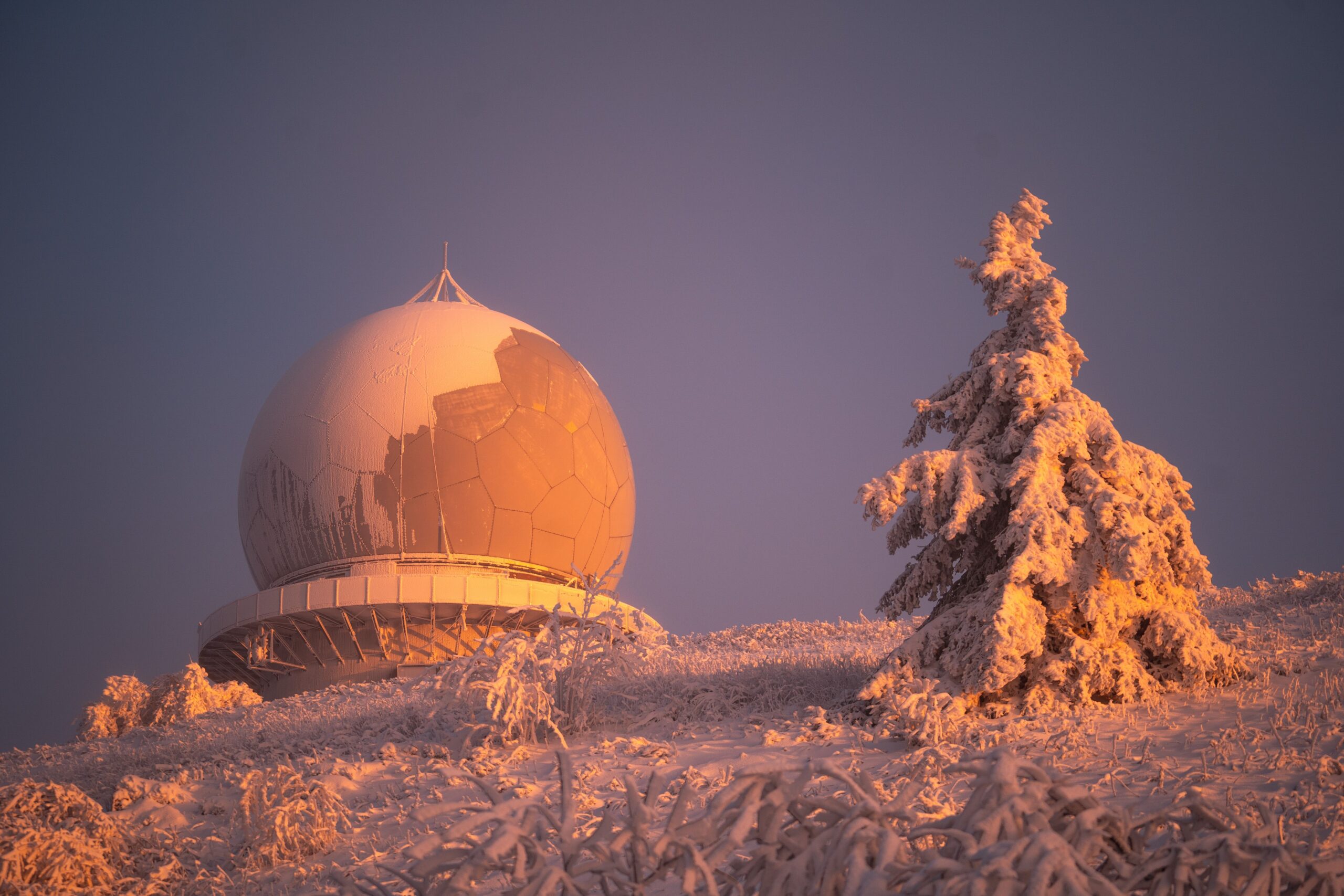
The interplay between these two major weather patterns will determine the variability of winter 2026. While El Niño may moderate temperatures in some regions, the potential for polar vortex disruptions could bring sudden, severe cold spells to the industrial and population centers of the Midwest and Northeast. This dual influence underscores the need for continued monitoring of atmospheric conditions as the season progresses.
For now, attention remains focused on the immediate hazards posed by the nor’easter. Coastal residents are advised to monitor local alerts for flooding and wind damage, while utilities in the Northeast prepare for potential outages. In the coming weeks, meteorological models will provide clearer insights into how the strength of the polar vortex and the evolution of El Niño will dictate the pace and severity of the winter season.