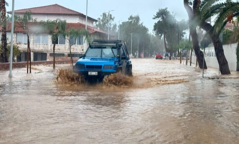
The loss of life occurred early Thursday morning in Nea Makri, a seaside town located north-east of Athens. A man in his 50s was found trapped under a car after being swept away by a torrent of water while attempting to cross a flooded street. The Greek fire department confirmed the incident, noting that the basement of the local police station in Nea Makri also suffered flooding. This event underscores the immediate danger posed by urban flash flooding, where water accumulation can rapidly render streets impassable and hazardous for pedestrians and drivers alike.
On the island of Crete, the meteorological conditions were equally severe, characterized by a convergence of heavy precipitation and airborne particulate matter. Heavy rain and thunderstorms, which began on Wednesday night, triggered flooding, landslides, and power outages. The most serious damage was reported in the mountainous Mylopotamos area of Rethymno. There, torrential rain caused rivers and streams to overflow, transforming roads into fast-moving waterways and flooding homes in communities such as Zoniana and Livadia.
Infrastructure failures were prominent in these mountainous regions. A bridge in the Diskouri area, near Zoniana, collapsed amidst the flooding. An elderly couple driving a vehicle was caught in the incident; their car plunged into the river, and they were trapped inside before being rescued and transported to the hospital for precautionary checks. The collapse of the bridge and the submersion of roads have made travel extremely difficult, with mud and debris further obstructing access to affected villages.
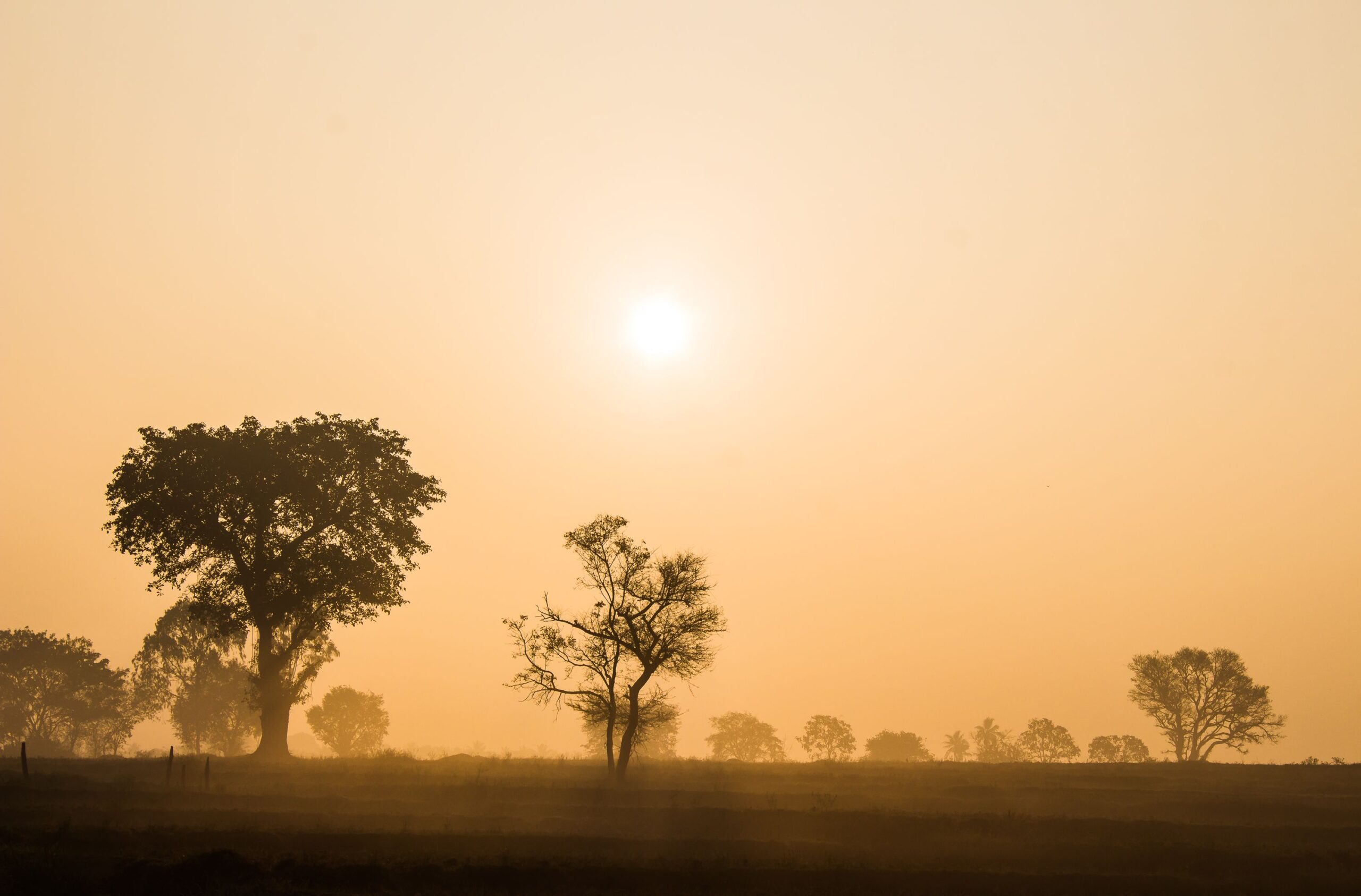
Simultaneously, a Saharan dust storm shrouded much of Crete, adding a layer of public health and logistical complexity to the situation. The airborne dust, originating from an African storm system, filled the air and turned the sky red. Local residents and tourists were observed wearing face masks to prevent inhaling the fine particles. The dust storm also impacted aviation, with some flights disrupted on Wednesday due to reduced visibility. Greece’s national meteorological service issued a red weather warning for the western and southern parts of Crete, effective from midday until late Thursday night. This highest-level alert indicates that widespread damage and a direct risk to life are likely.
Across mainland Greece, particularly in the Attica region encompassing Athens, the storm’s impact was felt through high winds and falling trees. The fire department received 674 calls for assistance between Wednesday and the early hours of Thursday, with the majority of requests in Attica concerning downed trees. The gale-force winds have kept ferries moored in ports, disrupting maritime travel, though some departures may resume Thursday if weather conditions permit. Schools in several areas, including parts of Crete and the mainland, were closed as a precautionary measure to protect students from unsafe travel conditions.
Emergency response efforts have been coordinated through civil protection channels. Early Thursday morning, Greece’s Civil Protection service sent 112 emergency alerts to residents and visitors in Zoniana, Livadia, and the wider mountainous areas of Rethymno, urging them to avoid unnecessary travel. Additional alerts were issued for other parts of the island as conditions continued to deteriorate. The combination of flooding, landslides, and poor visibility has left emergency crews responding to multiple incidents across the island, highlighting the strain on local resources during such compound weather events.
The dual nature of the crisis—violent hydrological events on the ground and a massive atmospheric dust intrusion—presents unique challenges for emergency management. While the dust storm primarily affects air quality and visibility, the associated storms drive the physical destruction and threats to life. The red weather warning remains in place for significant portions of Crete, indicating that the hazardous conditions are expected to persist through the night. Authorities continue to monitor the weather system, with the potential for further disruptions to transportation and daily life as the storm system moves through the region.