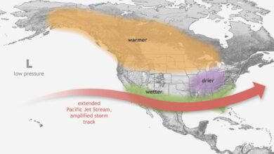
In the Central Rockies, the influx of cold air behind the front has created prime conditions for a significant snow event. Higher elevations have already accumulated more than 20 inches of snow, with Denver experiencing intensifying snowfall. This is an unusual occurrence for May, a month typically associated with the transition into summer. The snowfall, combined with the broader cold air mass, has created hazardous travel conditions for the region.
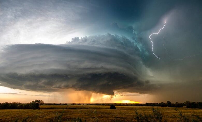
The impact of the system is not limited to the mountains. A swath of heavy rain has soaked a path from Arkansas to upstate New York, with the front pushing eastward to reach much of the East Coast. While some storms in the South developed into severe thunderstorms earlier in the week, a more significant threat has emerged for the Southeast. The Storm Prediction Center has issued a Level 3 out of 5 risk of severe storms across parts of central Mississippi and central Alabama, including Jackson, Birmingham, and Tuscaloosa. The primary concerns in these areas are supercell thunderstorms capable of producing large hail and tornadoes, with the threat targeting the Southeast as the front reaches the coast.
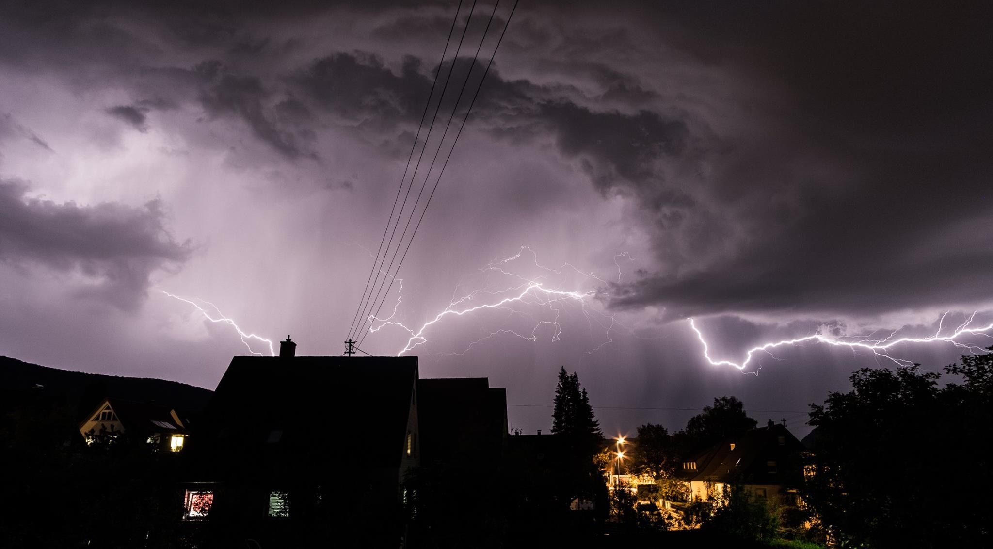
The severity of the system is evident in the widespread infrastructure and transportation disruptions. More than half a million energy customers were left without power as the weather pattern spread across large parts of the country. In the Upper Midwest and upper Great Lakes region, where heavy snow continues to fall across Wisconsin and Michigan, nearly 130,000 customers were without power. Milwaukee County, Wisconsin, declared a snow emergency after the National Weather Service issued a blizzard warning for the southeast part of the state. County Executive David Crowley stated that travel is “not advised and will be difficult throughout this weather event,” noting that semi-trucks were stranded on interstates due to strong winds and blizzard conditions.
Air travel has been severely affected nationwide. More than 2,700 flights were canceled and over 3,000 were delayed, with ground stops ordered at major hubs including Hartsfield-Jackson Atlanta International Airport and Washington Dulles International Airport due to thunderstorms and winter conditions. The cold air mass has also brought high wind risks, with more than 120 million people from the Mississippi Valley into New England under wind alerts. The mid-Atlantic region, specifically from northern South Carolina to southern Maryland, has been identified as the area at greatest risk for damaging straight-line winds exceeding 75 mph and tornadoes.
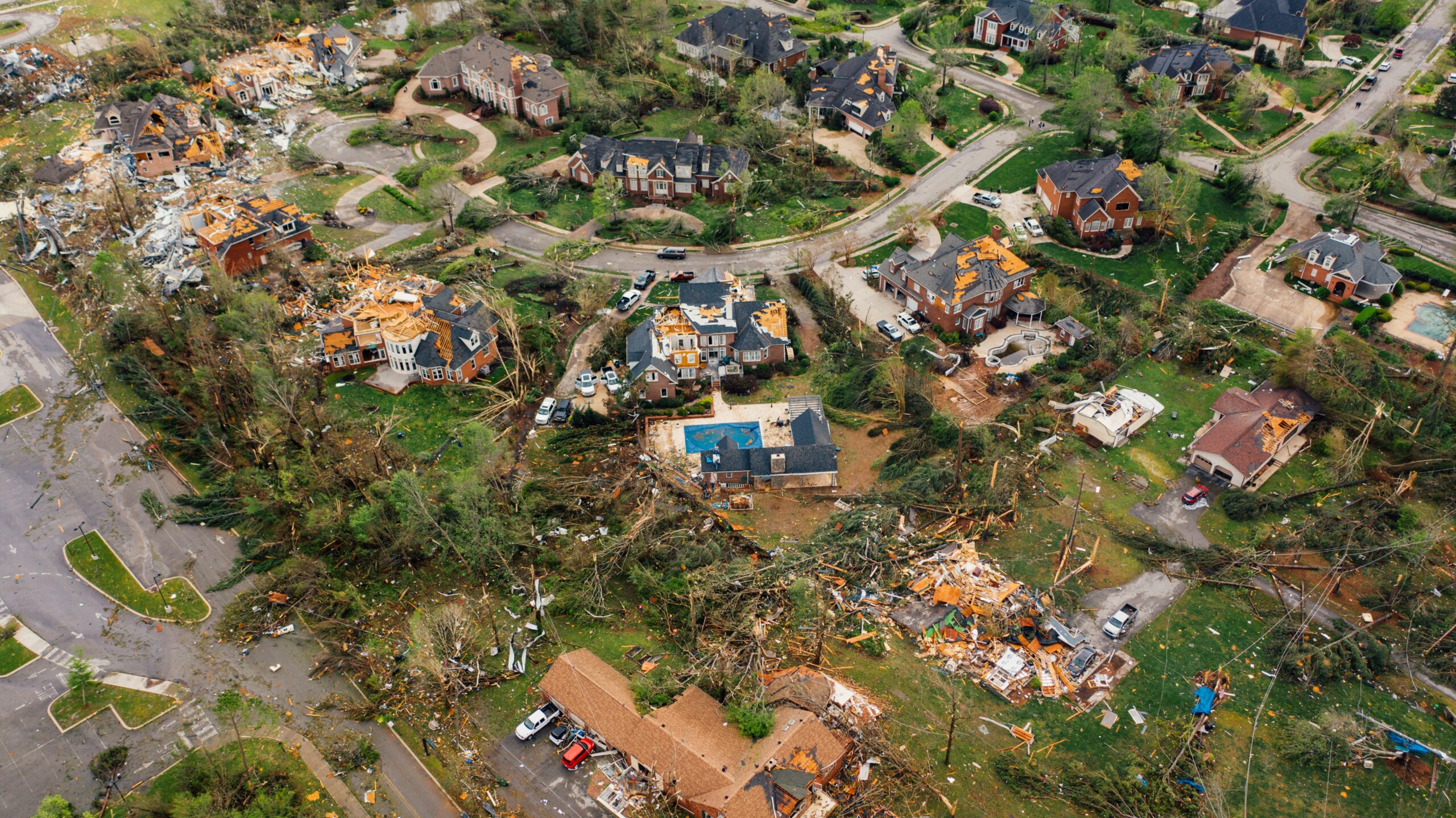
The weather system’s reach extends to the Northeast, where a powerful winter storm is expected to impact the New York City area. The National Weather Service issued a winter storm watch for the entire NYC area, predicting the possibility of up to 16 inches of snow. In Chicago, a small risk of tornadoes, mainly south and east of the city, accompanies a Winter Storm Watch and Wind Advisory for several surrounding counties. This comes as the region continues to clean up from a recent deadly tornado in Kankakee County.
For millions of Americans, the coming days will require preparation for prolonged and additional power outages, as well as hazardous travel conditions. Energy companies from New York to Tennessee have placed workers on standby to respond to repairs from downed power lines. Meteorologists warn that the combination of cold air, moisture, and instability creates a volatile atmosphere that could sustain severe weather activity through the week, with the next significant threat targeting the Southeast as the front finally reaches the coast.