
Forecasters predict Isaias will rapidly intensify into a powerful Category 2 hurricane before approaching the northern U.S. Gulf Coast. The storm is expected to pass to the north of the Yucatan Peninsula on Thursday before reaching the coastline on Friday. Landfall is currently estimated to occur between late Friday and early Saturday, with the projected impact zone stretching from Biloxi, Mississippi, to Panama City, Florida. The forecast cone indicates that impacts will be centered over Louisiana, Alabama, Mississippi, and the Florida Panhandle.
Florida Governor Ron DeSantis signed Executive Order 26-202 on Wednesday, declaring a state of emergency for 25 counties in the Panhandle and Big Bend regions. The order is designed to ensure that local communities have the necessary time and resources to prepare for potential severe weather impacts. Authorities are urging residents in the affected areas to have evacuation plans in place, keep emergency supply kits fully stocked, and monitor official weather updates for real-time information on the storm’s progression.

The meteorological conditions contributing to the storm’s development are notable for their anomaly. Gulf of Mexico water temperatures are currently at their warmest levels on record, a trend that has been documented since 1982. Such warm waters are conducive to rapid tropical development and intensification. This development occurs against the backdrop of an unusual seasonal pattern; September ended without a hurricane for the first time in 32 years, despite being the climatological peak of the Atlantic hurricane season, which runs from June 1 to November 30.
The National Oceanic and Atmospheric Administration’s (NOAA) Weather Prediction Center has issued a Level 2 out of 4 risk for flash flooding in parts of the Southeast on Friday and Saturday. This assessment reflects the threat of heavy rainfall associated with the outer bands of the approaching system. While the primary hazard remains the potential for hurricane-force winds and storm surge upon landfall, the flash flood risk poses an immediate danger to inland areas within the forecast track.
Isaias is the first named storm to make landfall in the Atlantic basin this year. The rapid strengthening forecast is consistent with historical patterns for systems entering the Gulf during the late summer and early autumn months, when sea surface temperatures are highest. As the storm continues its east-northeastward movement, meteorological models will continue to refine the intensity and exact landfall location. The period between now and landfall will be critical for finalizing evacuation orders and emergency response deployments in the vulnerable coastal regions of the Gulf.
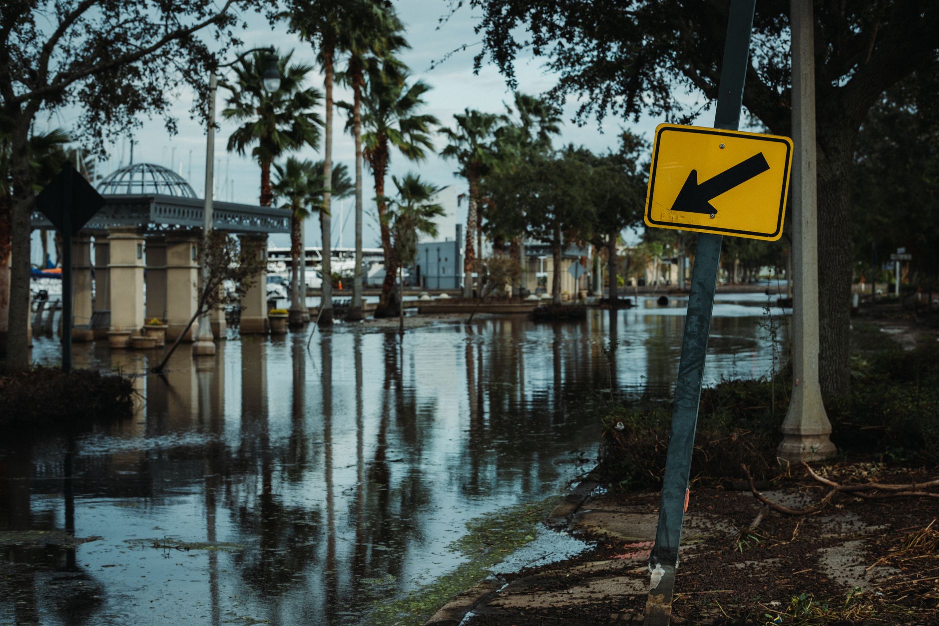
The current situation highlights the variability of the Atlantic hurricane season, where a lack of activity in the climatological peak month of September can be followed by rapid development in the Gulf. The combination of record-warm waters and favorable atmospheric conditions has created a high-potential environment for Isaias. Residents and emergency managers in the forecast cone are advised to remain vigilant, as forecasts for tropical cyclones can change as the system approaches land. The state of emergency declaration in Florida underscores the seriousness of the threat and the proactive measures being taken to mitigate potential damage and ensure public safety.
As Isaias continues to move toward the U.S. coast, the primary concern for meteorologists and emergency planners is the timing of the intensification. If the storm reaches Category 2 status before landfall, the associated wind and storm surge risks will increase substantially. The specific path through the Gulf will determine which coastal communities face the greatest threat. Continuous monitoring of the storm’s movement and intensity changes is essential for the next 48 hours to refine the forecast and guide public safety decisions.
