Authorities have issued a green alert for shaking-related fatalities and economic losses, indicating a low likelihood of significant casualties or damage from this specific tremor. Estimates suggest that approximately 15,000 people felt strong shaking, while 5.4 million experienced light tremors. The USGS noted that the region’s building stock is a mix of vulnerable and earthquake-resistant construction, with heavy wood frame structures being predominant among vulnerable types. However, the agency highlighted that recent earthquakes in the area have triggered secondary hazards such as landslides, which may contribute to losses despite the moderate magnitude of the current event.
This latest tremor is part of a continued pattern of seismic activity in the region. Following the initial 7.8-magnitude quake in June, the area experienced a series of strong aftershocks, including events of magnitude 6.1, 6.0, and 6.5 within 80 minutes of the main shock. Further significant quakes struck the area on June 26 (magnitude 6.5) and July 14 (magnitude 6.2). The July 14 epicenter was located approximately 19 kilometers from the August 5 epicenter, indicating persistent tectonic stress in the zone.
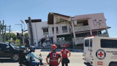
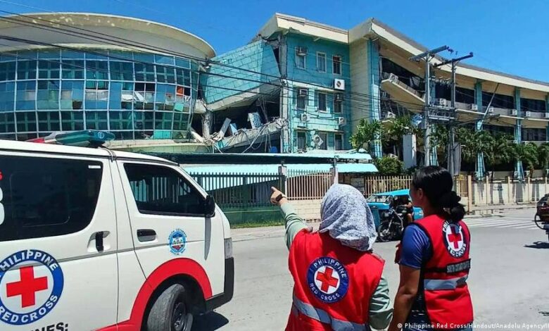
The June 8 earthquake, which was the strongest to strike the country that year, caused widespread destruction in General Santos, a port city of more than 700,000 people and a regional hub for the tuna export industry. The disaster resulted in the collapse of several buildings, including a high school that had previously been damaged in a 2019 earthquake. A landslide in the mountainous town of Glan in Sarangani province killed 13 villagers, accounting for a significant portion of the fatalities. Additionally, the quake generated a tsunami with waves measuring up to 1.4 meters in six coastal areas of the Philippines, damaging structures in at least one coastal village in Zamboanga del Sur. Smaller waves were also recorded in Indonesia, Palau, and southern Japan.
Philippine President Ferdinand Marcos Jr. previously declared that the national government would not leave Mindanao behind, ordering the cancellation of classes and directing disaster-response agencies to prioritize relief efforts in the affected provinces. Rescue operations continued in the weeks following the June disaster, with officials reporting that accounting for victims was an ongoing process. Teresito Bacolcol, director of the Philippine Institute of Volcanology and Seismology, warned residents to seek advice before returning to damaged buildings, cautioning that structures could collapse due to aftershocks.
The Philippines and Indonesia lie along the Pacific Ring of Fire, a highly seismically active zone where several tectonic plates meet. This geographic positioning makes the region particularly susceptible to powerful earthquakes and volcanic eruptions. While the immediate threat from the August 5 tremor is assessed as low, the recurrence of strong seismic events in the same area highlights the lingering risks for communities still recovering from the June catastrophe. Monitoring by the USGS and local agencies will continue to track aftershock activity and assess any potential secondary hazards.