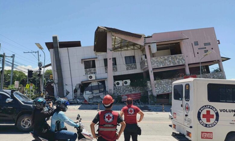
The earthquake, the strongest to hit the country this year, occurred at 7:37 a.m. local time. According to the Philippine Institute of Volcanology and Seismology (PHIVOLCS), the quake had a depth of 33 kilometers (20 miles) and was located approximately 32 kilometers (20 miles) southwest of Maasim town in Sarangani province. PHIVOLCS Director Teresito Bacolcol described the event as a “major earthquake,” warning residents to avoid returning to damaged structures due to the risk of collapse from aftershocks.
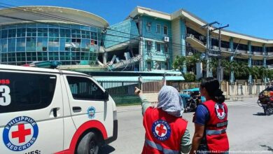
Victims were primarily found in damaged buildings and a landslide in Sarangani province. Rene Punzalan, a disaster-mitigation official for the province, confirmed that a landslide in the mountainous town of Glan killed 13 villagers. He stated that four other individuals in Sarangani died under unclear circumstances. In the port city of General Santos, several buildings collapsed, and critical infrastructure sustained significant damage. Rod Sosmeña, regional director of the Office of Civil Defense, described the shaking as “very strong,” noting that people fled their homes into the streets during the event.
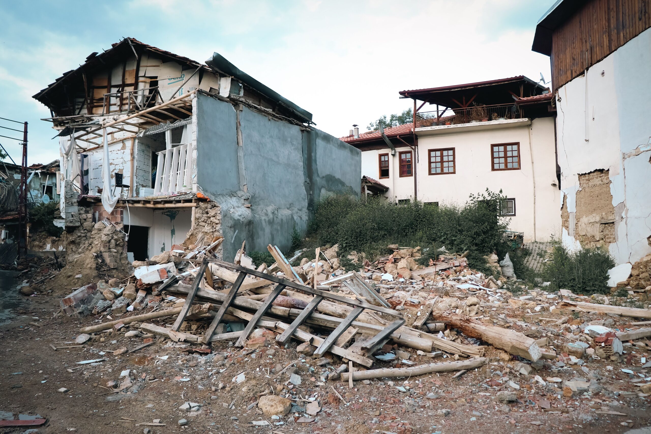
The tsunami generated by the quake caused damage in coastal areas. In a village in Zamboanga del Sur, six stilt shanties were damaged by the waves. Smaller tsunami waves were also measured in Indonesia, Palau, and as far away as southern Japan. The Pacific Tsunami Warning Center indicated that the tsunami threat had largely subsided about five hours after the initial quake, and Philippine officials lifted the tsunami warning by mid-afternoon.
Impact on General Santos and Regional Commerce
General Santos, a city with a population exceeding 700,000, serves as a regional hub for the tuna export industry and other commercial activities. The earthquake caused notable damage to the city’s infrastructure, including the collapse of several buildings. Ednar Dayanghirang, a regional disaster-response official in the nearby port city of Davao, reported that the ground shook so violently that he could barely stand or maintain his balance while leaving his home.
The seismic activity highlights the seismic vulnerability of the Philippine archipelago, which sits on the Pacific Ring of Fire. Mindanao, the second most populous island in the country, was the primary area affected by this specific event. The depth and magnitude of the quake resulted in strong shaking felt across multiple southern provinces.
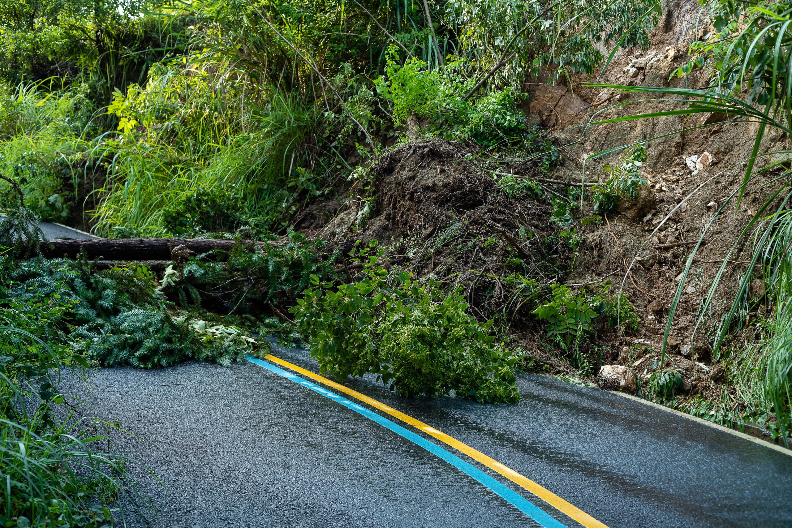
Government response has been swift, with President Marcos Jr. emphasizing that the national government is “moving” and will not leave Mindanao behind. Disaster-response teams are currently assessing the full extent of the damage, particularly in areas where landslides have blocked access routes. The death toll may rise as rescue operations continue in hard-hit areas, and officials are urging the public to remain vigilant against aftershocks.
While the immediate tsunami threat has been lifted, monitoring continues for secondary geological risks. The incident underscores the ongoing challenge of managing natural disaster risks in densely populated coastal and mountainous communities within the region.