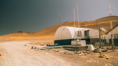
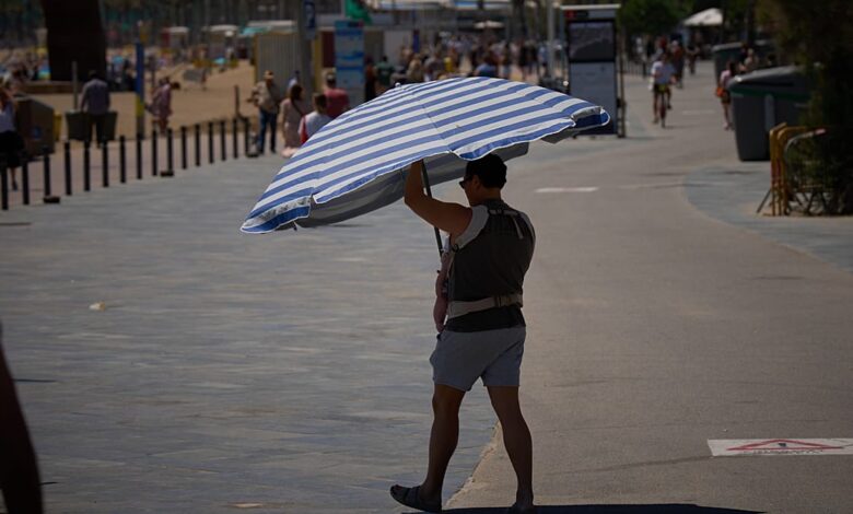
This heatwave is not an isolated incident but part of a complex and volatile weather system affecting the entire country. While Gran Canaria bakes in the sun, the rest of the Canary Islands remain on guard: Tenerife is on an orange alert for highs up to 37°C, while Lanzarote, Fuerteventura, La Palma, La Gomera, and El Hierro are under yellow alerts. The heat is compounded by strong gusts of wind, which could reach 80 kilometers per hour in Gran Canaria and La Gomera, increasing the risk of fire and structural damage. On the mainland, the situation is equally fragmented. The southern reaches of the peninsula, including the Guadalquivir Valley, are experiencing a “definitive arrival of early summer” in late May, with cities like Seville and Córdoba bracing for highs between 36°C and 38°C, with local pockets potentially touching 40°C.
The scientific mechanism driving this volatility involves a powerful atmospheric ridge pushing a mass of Saharan air across the peninsula, a phenomenon typically associated with mid-July rather than late spring. This thermal surge has been enabled by the stable conditions provided by the Azores High, which has silenced recent spring rains and replaced them with a stagnant heat dome. In the southwest, residents are experiencing “tropical nights,” where temperatures refuse to dip below 20°C, preventing natural cooling of homes and infrastructure. This represents a massive thermal swing, particularly jarring following unseasonal cold snaps recorded in parts of Spain just last week, placing health services on alert for heat-related complications.
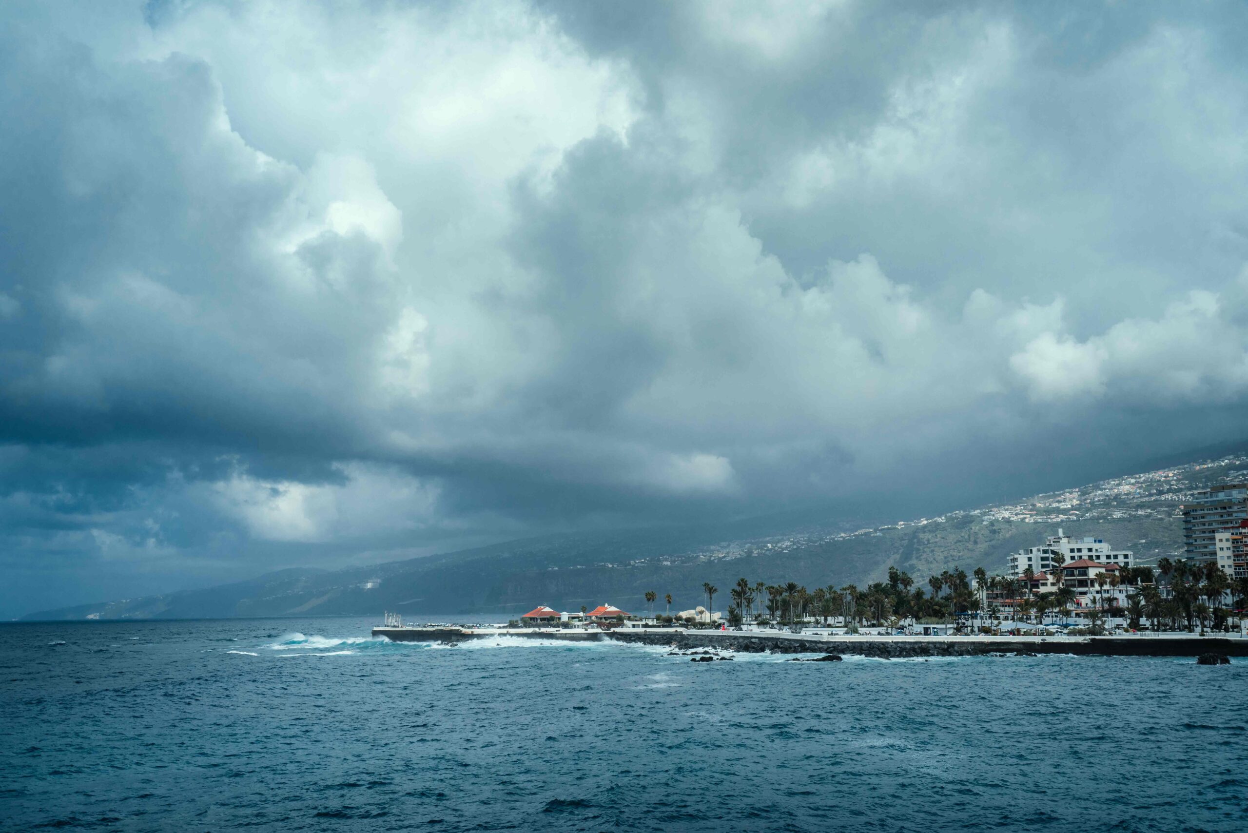
Contrastingly, the northern and central parts of the peninsula are undergoing a different kind of atmospheric stress. AEMET has issued orange alerts for “significant danger” storms in Catalonia and Aragon. These systems, described as cut-off lows in some contexts, are destabilizing the atmosphere and bringing locally heavy thunderstorms, possibly accompanied by hailstones more than two centimeters across. In the central lowland area of Lleida and Tarragona, as well as the south of Huesca and the Bajo Aragón area of Teruel, rainfall is expected to be torrential, with up to 20 liters per square meter falling in an hour. This juxtaposition of extreme heat in the south and east with severe convective storms in the north and center illustrates the increasing unpredictability of the region’s climate, where distinct weather phenomena are occurring in close geographic proximity.
The human impact of these extremes is already being felt. In the Balearic Islands, amber alerts are in force as heavy rain and storms threaten popular holiday hotspots like Mallorca, Menorca, and Ibiza. AEMET warns that 100mm of rainfall could accumulate in just three or four hours, with wind gusts reaching 90km/h. Similarly, in the Costa Blanca, a red alert was issued for the coastlines of Valencia and northern Alicante, where a combination of hot air and strong westerly winds from the Mediterranean pushed temperatures to a scorching 44°C. The warning urged residents to take precautions, noting that the heat would create uncomfortable nights with temperatures hovering well above 30°C after dark. The risk of wildfires remains extremely high in these eastern areas, exacerbated by the high winds and dry conditions.
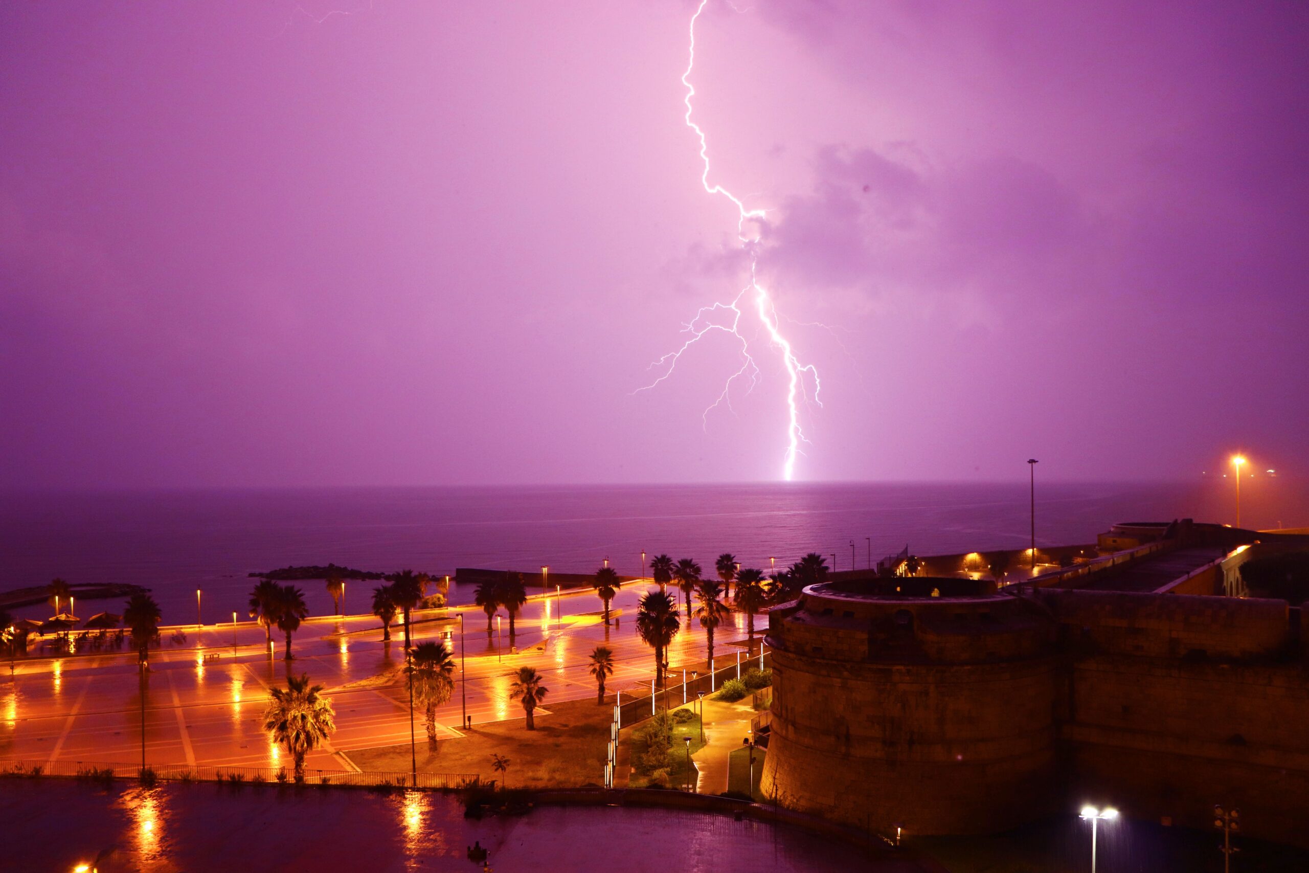
Experts note that the country is effectively divided into two distinct climate zones for the time being. The arrival of a small pocket of cold air, or DANA, from the Atlantic is forecast to bring a sharp cooling trend and return of precipitation to the northwest, particularly Galicia and the Cantabrian Sea. However, the southern half of Spain remains locked in a relentless summer reality, with mercury staying firmly above 36°C through the end of the week. This division means that while the north retreats to a more familiar spring pattern with sudden downpours and lightning, the south continues to navigate an early-season heat event of significant magnitude.
AEMET advises the public to take extra care during the hottest hours of the day, avoiding prolonged exposure to the sun and keeping up to date with evolving weather warnings. The agency emphasizes the high uncertainty of the situation, recommending that locals and travelers closely monitor updates, as the interplay between the cutting-off low systems and the persistent high-pressure ridge continues to shape a volatile week. As the red alert in Gran Canaria and the Costa Blanca persists, the focus remains on how communities and infrastructure can adapt to these increasingly extreme and rapid shifts in temperature and precipitation, a trend that aligns with broader observations of rising baseline temperatures and intensified weather events in the Mediterranean region.