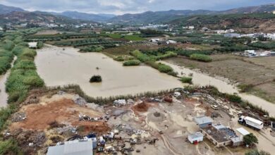

The weather system is characterized by a mega-rainband stretching across Central Australia and into northern Western Australia, pushing tropical moisture southward under Victoria. Senior meteorologist Jonathan How noted that the humidity preceding the heavy rainfall is directly linked to these tropical origins. The rainband is elongated, with heavy downpours initially expected in the western suburbs around Geelong and Avalon before pushing into Melbourne’s central areas during the afternoon and evening of Thursday.
Accumulated rainfall totals are forecast to reach 40mm on Thursday, followed by 35mm on Friday and 25mm on Saturday. This rapid saturation raises concerns for outdoor activities, with warnings issued to families camping or hiking during the final week of the Term 3 school holidays to monitor radar and local warnings closely. The BoM has stated that severe thunderstorm warnings will be issued if heavy rainfall leads to flooding conditions.
Broader Regional Impacts and Severe Weather Warnings
Beyond Victoria, the low-pressure system over South Australia combined with moisture moving down the eastern seaboard is bringing widespread rainfall and flash flooding risks to eastern and southeastern Australia. In the 24 hours leading up to Tuesday afternoon, thunderstorms had already produced significant rainfall: up to 60mm in New South Wales, 70mm in Tasmania, 20mm in Victoria, and 40mm in southeastern South Australia.
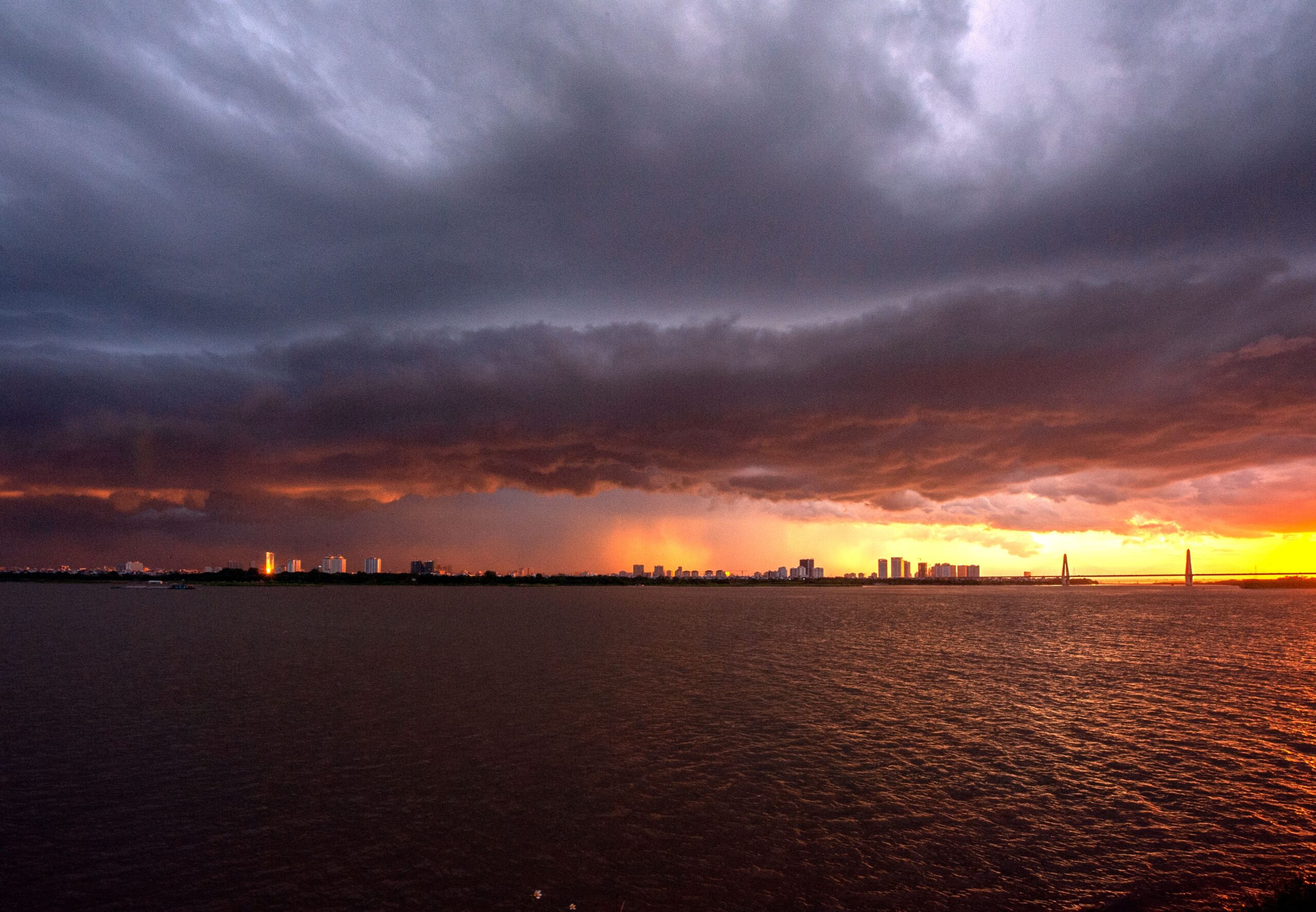
Meteorologist Ilana Cherny indicated that severe weather warnings are in place for parts of eastern Tasmania for Wednesday and Thursday. Severe thunderstorms are predicted to strike the central west of New South Wales before extending south toward Victoria on Thursday evening. Additionally, areas in southern Queensland and northern New South Wales are expected to experience heavy falls on Wednesday and Thursday, with risks of damaging winds and large hail in parts of southern Queensland. By Thursday, the focus of this activity is expected to contract to the east, affecting southeast Queensland and parts of central and northeastern New South Wales.
Cherny explained that the low-pressure stream and tropical moisture are being enhanced by a trough in the upper levels of the atmosphere, which is driving the increased rain activity. A separate trough system is also developing through Tasmania, bringing easterly flow and moisture that heightens the risk of heavy falls in that region.
Emergence of El Niño Signals
Concurrent with this severe weather event, the Bureau of Meteorology has issued an update noting “signs of El Niño development” in the tropical Pacific. El Niño is a climate pattern characterized by warmer-than-average sea surface temperatures in the central and eastern tropical Pacific Ocean. While the current severe weather is driven by specific synoptic systems (low-pressure and troughs), the emerging El Niño conditions will influence broader climate trends over the coming months.

Historically, El Niño events increase the likelihood of hotter and drier conditions, particularly during the Australian spring. The distinction is important: the current rainfall is an immediate, localized weather event fueled by tropical moisture transport, whereas El Niño represents a longer-term oceanic and atmospheric pattern that typically suppresses rainfall in eastern Australia. The co-occurrence of these two phenomena underscores the complexity of predicting seasonal climate outcomes, where short-term severe weather can occur even as larger-scale drought-inducing patterns begin to form.
The development of El Niño will be closely monitored as it progresses, with potential implications for temperature records, agricultural yields, and water resource management across the continent. For now, the immediate priority remains the management of flash flooding and storm damage associated with the current rainband, particularly in vulnerable areas of Victoria, New South Wales, and Tasmania.
The next critical assessment will involve tracking the persistence of the El Niño signal in the tropical Pacific over the coming weeks, alongside the immediate post-event analysis of rainfall totals and any resulting infrastructure or ecological impacts in the affected southeastern regions.