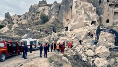
The storm, classified by local meteorological services as a once-in-a-century event, brought extreme meteorological conditions to the central Mediterranean. Forecasts indicated that as much as 300 millimeters (12 inches) of rain accumulated over a two-day period, accompanied by sustained winds reaching up to 130 kilometers per hour (81 mph). Civil Protection authorities had issued red alerts for the regions of Sicily, Sardinia, and Calabria at the beginning of the week, signaling the highest level of danger and the likelihood of widespread damage.
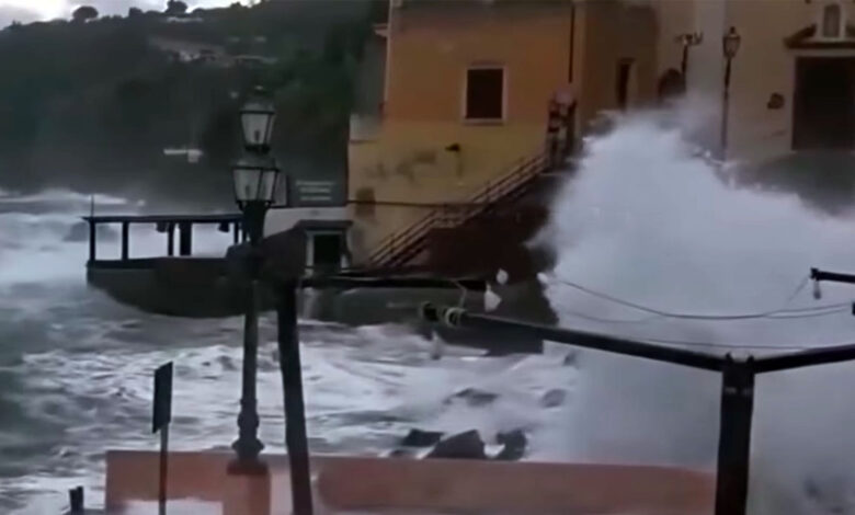
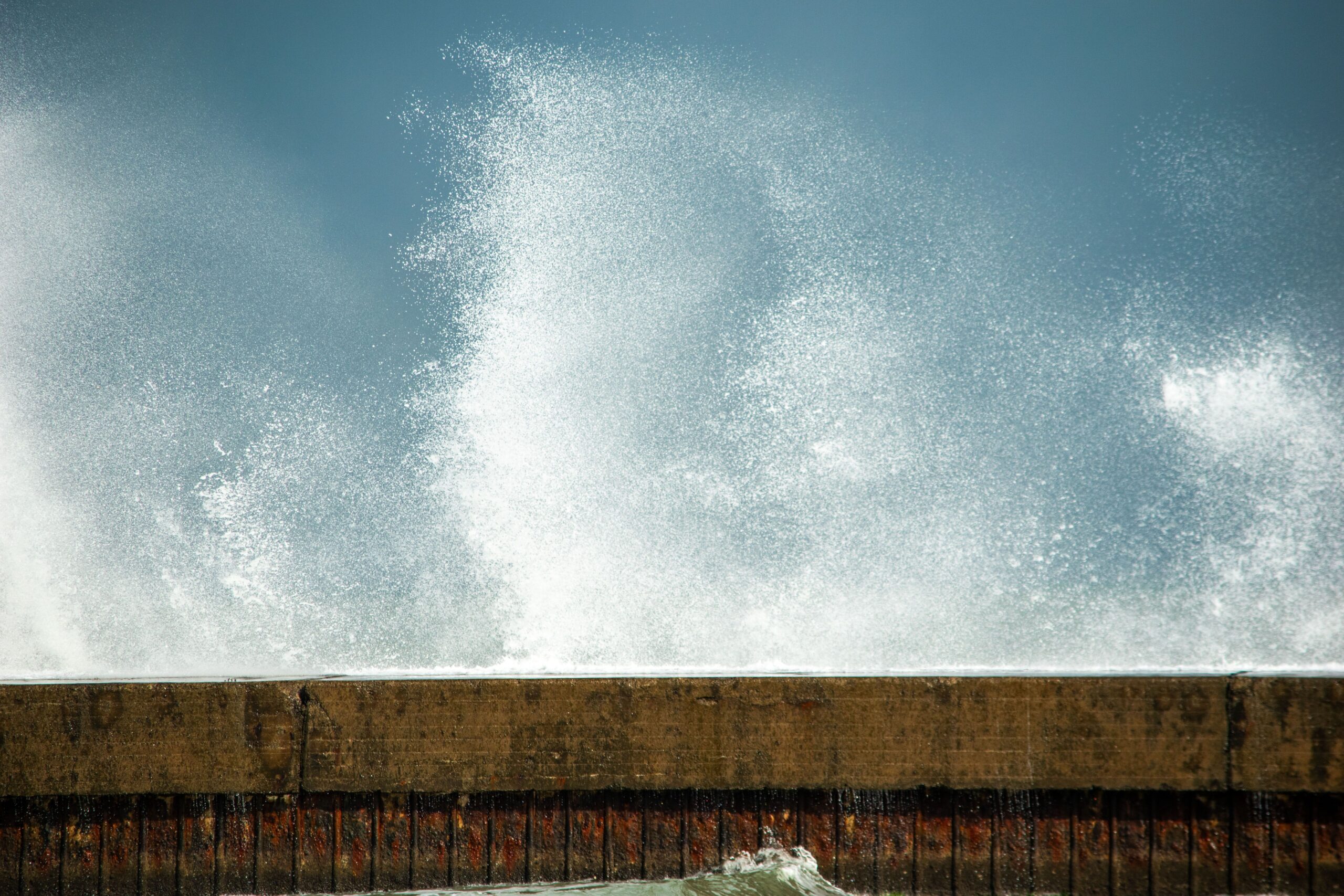
Maritime conditions were particularly severe, with video footage circulating online documenting waves that surged as high as 26 feet. Reports indicate that wave heights in the Mediterranean Sea reached a record-breaking 52 feet during the peak of Cyclone Harry, a magnitude that overwhelmed coastal defenses and transport networks. The “maritime fury” forced the suspension of all ferry and hydrofoil services to Sardinia and the smaller surrounding islands, effectively isolating these communities from the mainland and other islands. In the Messina area, the impact was so severe that a section of the seaside promenade in Santa Teresa di Riva collapsed entirely, illustrating the physical force of the storm surge on coastal infrastructure.
Paolo Amenta, president of ANCI, and Mario Emanuele Alvano, the association’s secretary general, emphasized the profound social and cultural impact of the disaster. “Entire communities have been struck to the core, transformed, and in many cases disfigured in terms of their structure, their identity, and their historical connection to their surroundings,” Amenta and Alvano stated. This sentiment reflects the broader implications of such extreme weather events for heritage sites and local economies that rely on stability and accessibility.
Cyclone Harry is an example of a “medicane,” a term used to describe tropical-like cyclones that form in the Mediterranean Sea. These systems, while distinct from Atlantic hurricanes, can generate similar extreme wind and rain patterns. The current event highlights the increasing frequency and intensity of such phenomena in the region. As recovery efforts begin, meteorologists and local authorities are monitoring the atmospheric conditions for the potential formation of a new medicane. Early indications suggest that a rare medicane storm could soon form, with potential impacts on Greece, Libya, or Egypt.
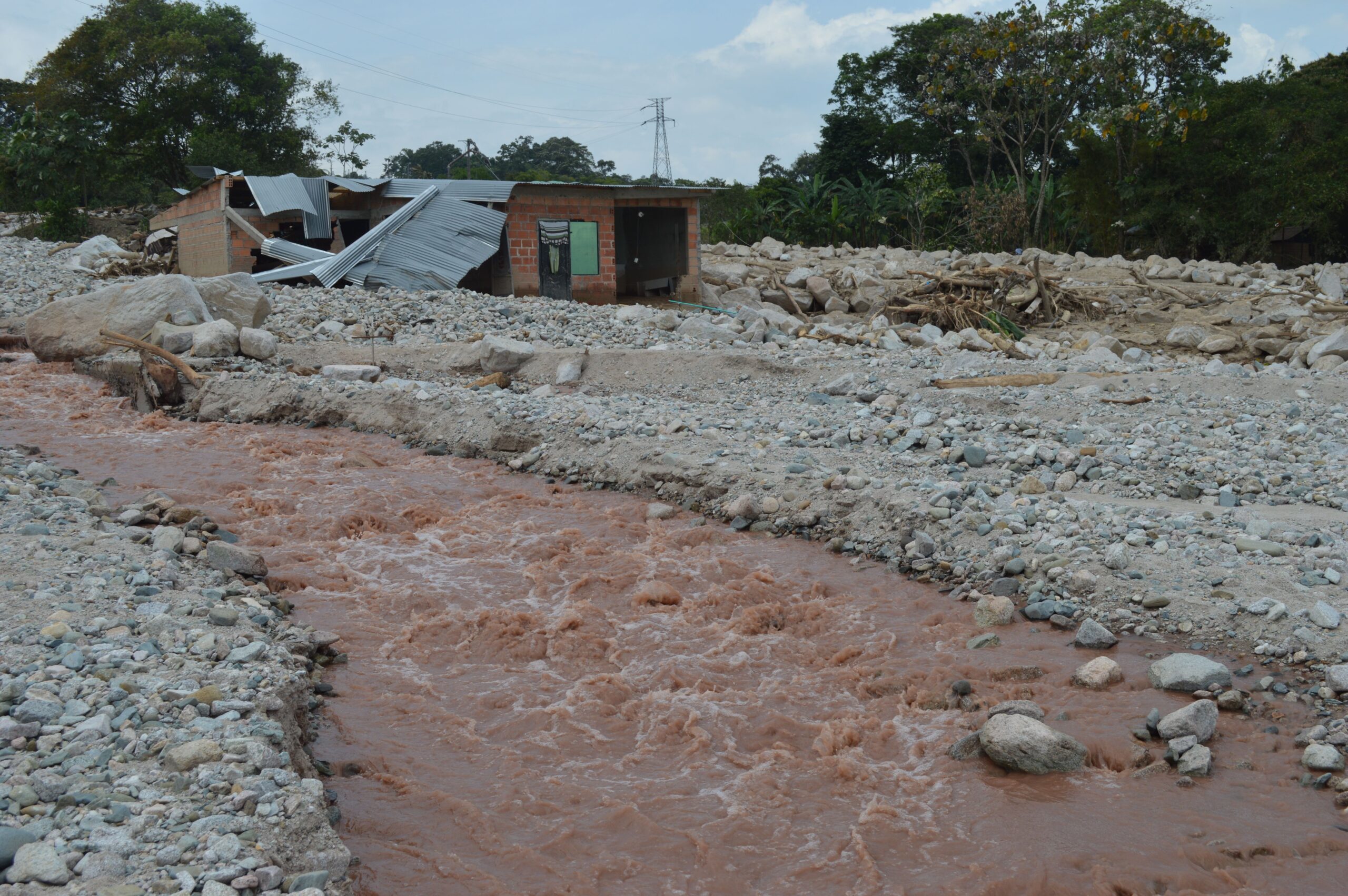
The distinction between the immediate, observed damage and the broader climate context is crucial. While the specific attribution of Cyclone Harry to long-term climate trends requires detailed post-event analysis, the event’s intensity aligns with modeled projections of increased extreme weather frequency in the Mediterranean. The collapse of infrastructure and the isolation of island communities underscore the vulnerability of coastal populations to high-impact storm events. As of Thursday, the focus for local governments remains on immediate rescue and stabilization, with the long-term assessment of economic and structural losses still in its early stages.
The situation remains fluid, with the potential for further disruption if a new system develops. The interplay between the residual effects of Cyclone Harry and the possibility of a subsequent storm presents a compounded challenge for emergency services and residents in the affected regions.