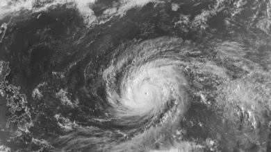
Before striking the coast, Isaias had strengthened into a major Category 3 hurricane. At 7:20 a.m. Central Daylight Time on Friday, October 9, 2026, the National Hurricane Center (NHC) confirmed the storm had reached major hurricane status, with maximum sustained winds of 120 mph (195 km/h) and a minimum central pressure of 959 millibars. An Air Force Reserve Hurricane Hunter aircraft had earlier confirmed these conditions. By the time of landfall, increased wind shear and changing atmospheric conditions had weakened the storm to Category 2 intensity, though forecasters emphasized it remained capable of causing significant damage.
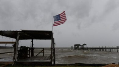
At 2 p.m. Central Time, prior to landfall, the NHC tracked Isaias approximately 125 miles south of Pensacola, Florida, and 140 miles south of Mobile, Alabama. The storm was moving north-northeast at 17 mph. Tropical-storm-force conditions had already spread ashore along the northern Gulf Coast, with a wind gust of 43 mph recorded in Apalachicola, Florida. After making landfall, the storm was expected to turn toward the Carolinas.
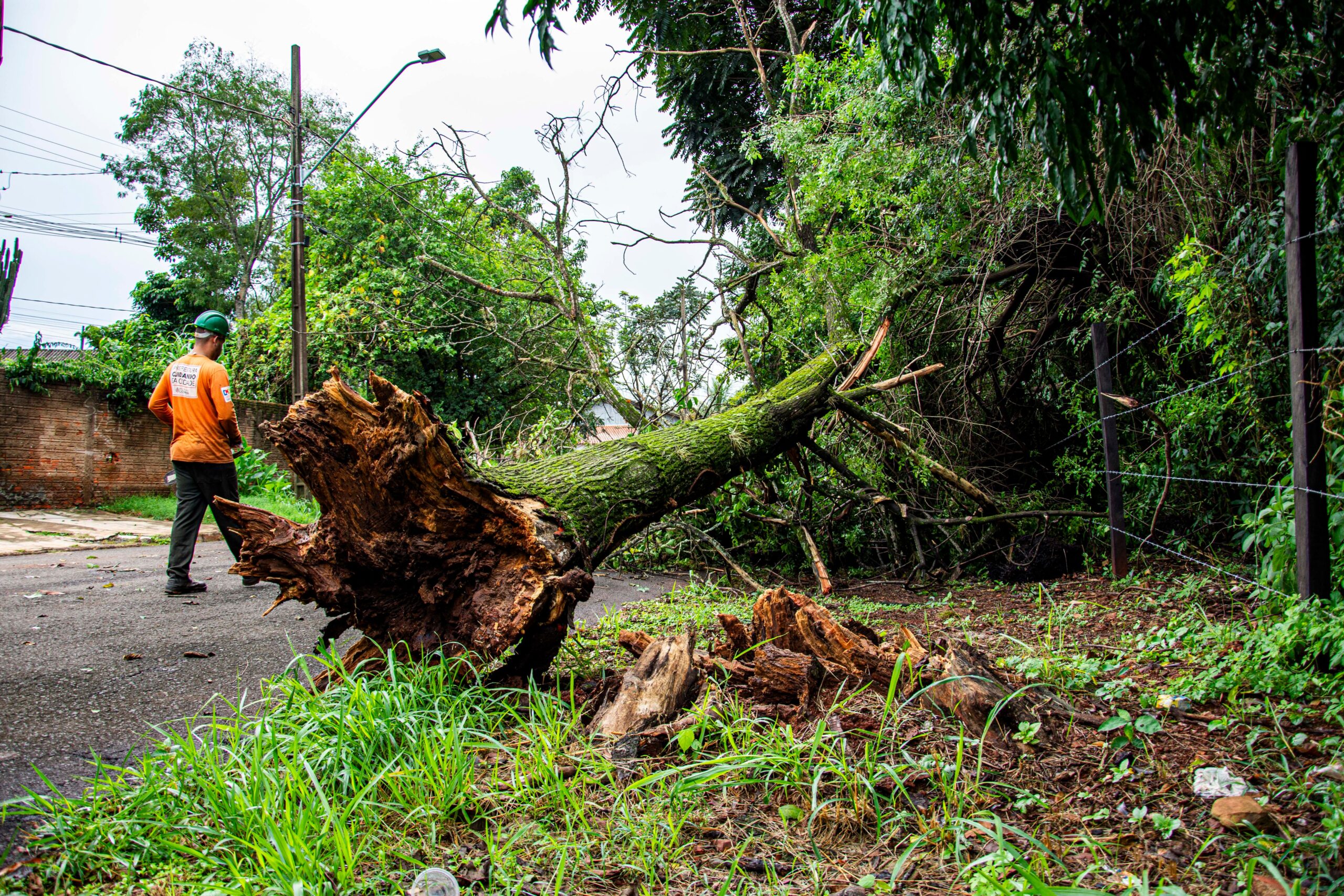
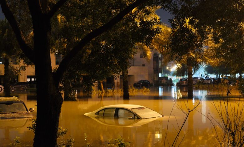
The impact of the storm was immediate and widespread. In Pensacola, wind gusts reached approximately 164 km/h (102 mph). In the Panama City Beach area, water levels rose to about 1.64 meters (5.4 feet) above normal conditions, contributing to severe coastal flooding. Trees were uprooted, power grids were damaged, and several roads were inundated. Florida Governor Ron DeSantis urged the public to remain indoors as conditions worsened, warning that flash flooding posed a serious threat even to residents living far from the coastline.
Florida Lt. Gov. Jay Collins issued a direct warning to residents to take the situation seriously, advising them to stay safe and off the roads to allow first responders to work effectively. The storm’s path also disrupted scheduled events across the region. Seven college football games were altered or canceled due to the threat, with one game between West Florida and Northeastern State permanently canceled. Other matches, including a highly publicized matchup involving Alabama and Georgia, were rescheduled or moved indoors as the storm approached the Florida Panhandle and Alabama coast.

The power outage count of over 400,000 customers is subject to change as utility companies assess the extent of grid damage. The NHC noted that regions on the eastern side of the storm’s track also faced threats from strong winds, heavy rain, and dangerous sea surges. As of the latest updates, the primary concerns for emergency management officials are the restoration of electrical services and the mitigation of inland flooding risks as the storm system moves inland.
Forecasters track the dissipation of the system as it moves toward the Carolinas, while local authorities continue to monitor water levels and debris removal. The transition from a major hurricane to a weakening tropical system did not reduce the immediate danger posed by the storm’s size and rainfall totals, which continued to impact infrastructure and public safety in the Gulf Coast region.