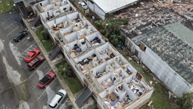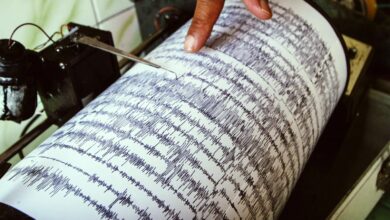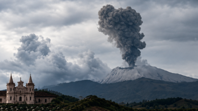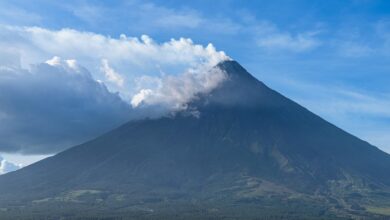
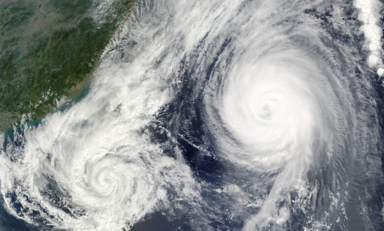
The passage of In-Fa is not an isolated incident but part of a broader pattern of tropical cyclone activity across the Pacific. While the immediate impact remains localized to the islands in the Western Pacific, the atmospheric conditions fueling such storms are connected to larger-scale climate dynamics. Meteorologists are closely monitoring the interplay between tropical cyclone formation and El Niño–Southern Oscillation (ENSO) patterns, which influence sea surface temperatures and atmospheric circulation across the globe.
A key metric in assessing the current climate state is the definition of a “Super El Niño.” For an event to be officially classified as a Super El Niño, sea surface temperatures must remain two degrees above average for a sustained period of three months. Current observations indicate that while conditions are brewing and supporting powerful tropical systems like In-Fa, the specific threshold for the Super El Niño designation is a strict scientific benchmark that requires sustained evidence over time. The distinction is critical, as El Niño events of varying intensities have different implications for global weather patterns, precipitation, and hurricane activity.
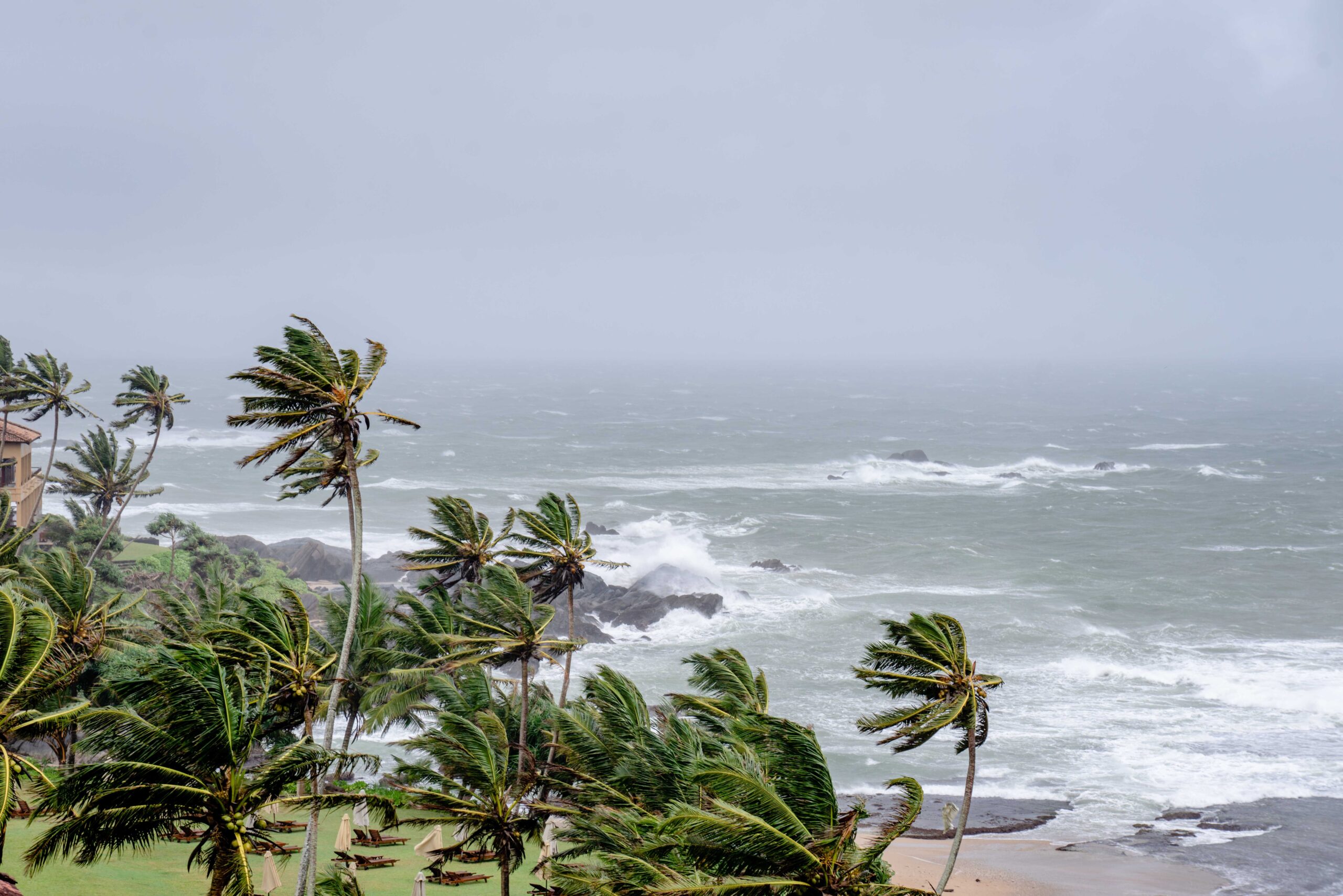
Simultaneously, activity in the Eastern Pacific has reached a notable level of frequency and intensity. Hurricane Vance has emerged as the 11th major eastern Pacific hurricane of the season. The designation of “major” typically refers to storms that reach Category 3 status or higher on the Saffir-Simpson Hurricane Wind Scale, indicating severe damage potential. The accumulation of 11 such storms in a single season highlights an unusually active hurricane season in this basin. The trajectory of Vance is currently a point of interest for forecasters, with questions regarding whether the system will turn toward Mexico, a development that would bring the potential for significant landfall impacts to the North American coast.
The connection between the Western and Eastern Pacific activities lies in the underlying oceanic and atmospheric anomalies. El Niño events, characterized by warm waters in the central and eastern equatorial Pacific, tend to suppress hurricane activity in the Atlantic and the Eastern Pacific while often enhancing it in the Western Pacific. However, the specific classification of the current event as “Super” depends on the persistence of the temperature anomaly. If the two-degree above-average threshold is maintained for three months, the event would be categorized as Super El Niño, a designation associated with more extreme weather disruptions globally. Until that three-month window is confirmed by sustained measurements, the current state remains a developing El Niño condition that is already contributing to the formation of powerful tropical systems like In-Fa and a prolific season for major hurricanes like Vance.
The scientific community continues to track these developments with precision, distinguishing between the immediate impacts of individual storms and the broader climatic context. The intensity of Super Typhoon In-Fa serves as a tangible example of the energy present in the Western Pacific, while the count of major hurricanes in the East provides a quantitative measure of seasonal activity. As the season progresses, the determination of whether this is a standard El Niño or a Super El Niño will rely on continuous monitoring of sea surface temperatures. This classification will have implications for future weather patterns, including temperature extremes, rainfall distribution, and hurricane intensity in subsequent seasons.
For the communities in the Northern Mariana Islands, the immediate concern is the aftermath of In-Fa and the resilience of local infrastructure against such high-category storms. For forecasters, the focus is on the path of Vance and its potential interaction with landmasses in Mexico, as well as the ongoing evolution of the El Niño signal. The interplay between these tropical cyclones and the underlying ENSO phase remains a central focus of climate monitoring, providing insight into how ocean-atmosphere interactions are shaping the current year’s weather patterns.