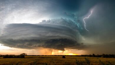

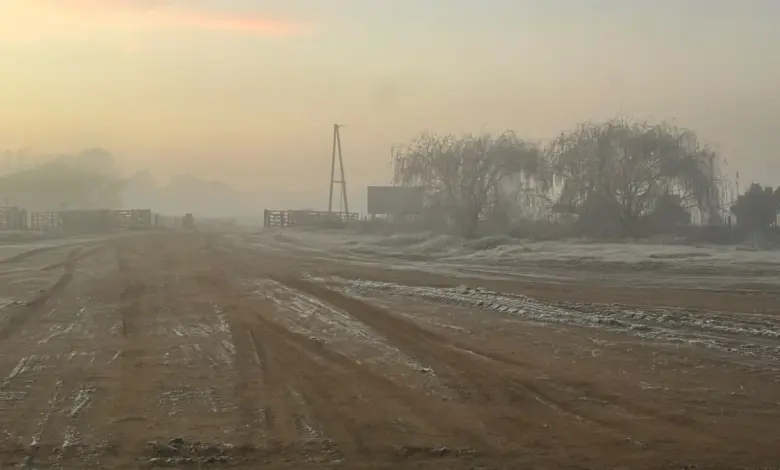
The current system is characterized by what is known in Brazil as “friagem,” a term describing the sudden entry of polar air masses into areas that typically experience tropical, warm, and humid climates year-round. This polar invasion follows several consecutive days of heavy torrential rains, severe thunderstorms, violent wind gusts, and destructive hail that battered the same southern states. The shift from intense precipitation to extreme cold has exacerbated conditions on the ground, with the freezing temperatures expected to persist throughout the entire weekend.
Weather specialists indicate that the thermal drop is not limited to the southernmost tip of the continent. According to official tracking models, the freezing air is projected to advance rapidly over the coming days. The cold front is expected to reach the central-western state of Mato Grosso do Sul and the southern and western regions of Mato Grosso. The system is further forecast to penetrate the southwestern boundaries of the Amazon region, bringing historic cold to tropical latitudes. This expansion represents a significant deviation from typical seasonal weather patterns for these northern areas.
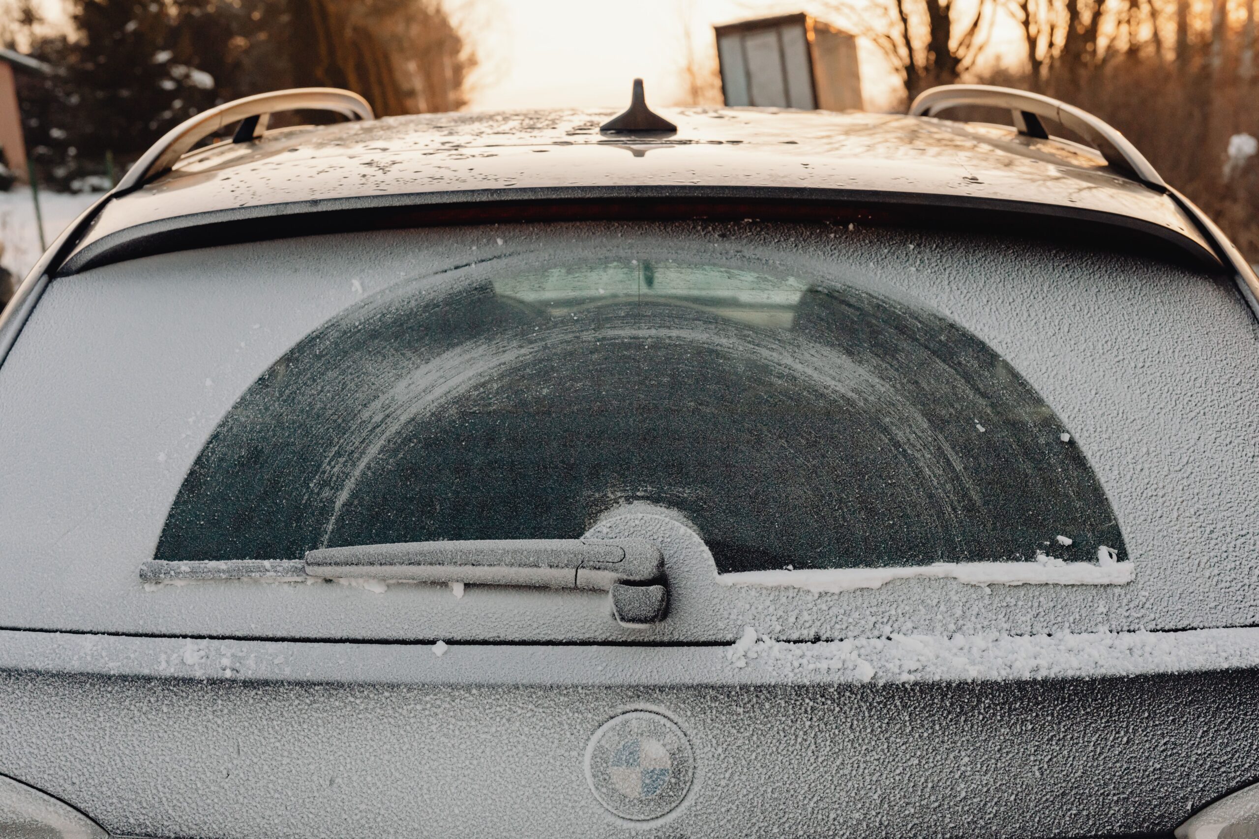
The sharp temperature decline is also expected to impact the heavily populated southeastern states of São Paulo and Minas Gerais, as well as major areas of the Central-West. In these regions, thermometers are projected to plummet by several degrees compared to the relatively mild temperatures recorded earlier in the week. Meteorologists have noted that the wind chill factor across the three primary southern states will make conditions feel significantly colder than the actual air temperatures, driven by the high velocity of the icy polar winds sweeping through the region.
The primary concern for authorities is the impact on agricultural sectors and vulnerable populations who may lack adequate heating or shelter. The combination of prior flood damage from the stationary frontal system and the subsequent freeze creates a compounded risk for infrastructure and food production. While the immediate casualty count stands at three, the full scope of economic and agricultural damage remains under assessment as the system continues to move northward. Monitoring agencies are tracking the progression of the air mass to provide updated warnings for the central and northern states as the cold front approaches.