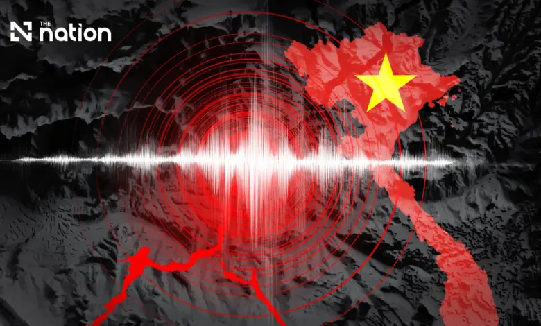
The event was classified as a shallow earthquake, a characteristic that often allows for stronger surface vibrations relative to deeper seismic events. However, the magnitude of 3.6 falls into the category of minor earthquakes, which are frequently felt by people but rarely cause significant structural damage. The shallow depth of seven kilometres indicates that the rupture occurred within the upper crust, a zone where tectonic stress is often released in smaller, more frequent events rather than rare, high-magnitude ruptures.
Seismological Monitoring and Detection
The detection and localization of this earthquake were achieved through a coordinated effort involving 16 monitoring stations. These sensors, part of the regional seismographic network, recorded the seismic waves generated by the rupture. The precision of the epicentre calculation relies on the triangulation of these signals from multiple stations, ensuring that the geographic coordinates provided reflect the actual origin of the seismic activity. The involvement of 16 stations suggests a robust data set, allowing analysts to confirm the event’s parameters with a high degree of confidence.
The timing of the earthquake, just after mid-morning, meant that the ground motion was registered during typical daily activities. Despite the proximity to the Thai border, the distance of 223 kilometres generally attenuates the seismic energy significantly. Seismic waves lose energy as they propagate through the earth’s crust, and at that distance, the amplitude of the waves reaching Khong Chiam and surrounding areas would be substantially reduced. This physical reality is consistent with the lack of reported shaking in the Thai border regions.
Impact Assessment and Regional Context
As of the preliminary reports, no information has been released regarding any physical effects in Thailand or whether residents in the border provinces experienced the shaking. The absence of reported damage or public concern in Ubon Ratchathani province aligns with the expected propagation of a magnitude-3.6 wave over a distance exceeding 200 kilometres. In seismology, the felt intensity of an earthquake decreases rapidly with distance from the epicentre, following an inverse relationship with the square of the distance for body waves and a more complex decay for surface waves.

The geological context of the region involves the complex tectonic interactions between the Indian, Eurasian, and Indo-Australian plates. While major fault lines run through parts of Southeast Asia, many areas, including parts of central Vietnam and northeastern Thailand, experience low to moderate seismic activity. Events of this magnitude are often associated with local faulting or stress adjustments within the lithosphere rather than major plate boundary interactions. The shallow depth of seven kilometres is typical for such crustal adjustments, where brittle rock layers fracture under accumulated stress.
The preliminary report did not provide information on any effects in Thailand or whether people in the country had felt shaking.
The lack of reported impact underscores the importance of accurate magnitude and depth reporting in public safety. For a magnitude-3.6 event, the potential for building damage is negligible in most modern construction, and the risk is primarily limited to older structures or objects on shelves in areas close to the epicentre. Given the distance from the nearest major population centers in Thailand, the event remained a geophysical observation rather than a public safety incident. The 16 monitoring stations that contributed to the calculation provide a reliable record of the event, contributing to the long-term database used by seismologists to study seismicity patterns in the region.
Future analysis of this event may involve comparing the focal mechanism with regional stress fields to understand the orientation of the faulting. However, for the immediate period, the event is classified as a minor seismic occurrence with no verified human or structural consequences. The monitoring network’s ability to quickly locate the epicentre and determine the depth serves as a testament to the effectiveness of regional seismic observatories in tracking such events. As no further data has emerged regarding aftershocks or secondary impacts, the event remains a recorded instance of natural tectonic activity in the Vietnam region.