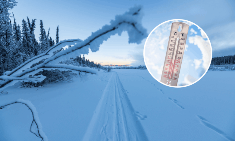
The interaction between these two systems creates a complex meteorological scenario. El Niño, the warm phase of the El Niño-Southern Oscillation (ENSO) cycle, is characterized by warmer-than-average waters in the equatorial Pacific and weakened trade winds. This cycle typically occurs every two to seven years and lasts between nine and 12 months. This year’s event has already broken records regarding how far above average ocean surface temperatures have risen. Conversely, the polar vortex is a large area of cold air and strong winds surrounding the Earth’s poles. It is present year-round but strengthens during winter, often expanding to send blasts of Arctic air southward into the United States.
While these patterns can exert competing influences—with El Niño favoring broader warmth and a weakened polar vortex producing periods of Arctic cold—they are not opposing forces in the traditional sense. AccuWeather long-range meteorologist Alex DaSilva noted that because this polar vortex disruption is occurring so early in the season, there is less cold air available to drive significant temperature drops compared to a mid-winter event. “I don’t think the cold outburst is going to be that significant compared to if this happened during the heart of winter,” DaSilva said.
Despite the early timing, below-average temperatures are expected across the northern Midwest and Northeast during the first week of November. This marks a shift from the recent warm and dry conditions in those regions. However, meteorologists emphasize that this colder period will be short-lived. DaSilva stated that El Niño’s influence will prevail for the rest of the month, with above-average temperatures expected to persist. “El Niño will still be the primary driver behind this winter because it’s so strong,” he added.
WFLA-TV chief meteorologist Jeff Berardelli highlighted that the early-season disruption could be linked to the super El Niño itself, as the climate pattern can induce changes in the stratosphere that subsequently disrupt the polar vortex. If the polar vortex continues to weaken as forecast models predict, it could lead to the earliest major sudden stratospheric warming (SSW) on record. An SSW event involves a rapid warming of the air in the stratosphere, which can disrupt the vortex and allow frigid air to spill southward into the U.S., Europe, and Asia in subsequent weeks.
Nevertheless, Berardelli cautioned that this outcome is “far from guaranteed” because the El Niño is overwhelming the pattern. A split vortex can push cold air from the Arctic down into mid-latitudes, typically one to three weeks after the disruption. While this keeps the possibility of a cold blast on the table for the second half of November, the broader seasonal outlook remains dominated by the warm phase of the ENSO cycle.
The implications for this winter’s weather pattern are distinct from historical norms. Typically, El Niño brings warmer, drier weather to northern U.S. regions during winter, with wetter, stormier conditions in the South. This year, increased snowfall is also expected over the Intermountain West and high elevations of the U.S. Southwest. The early disruption of the polar vortex does not indicate whether another, more impactful disruption will occur later in the winter when temperatures are naturally colder. Currently, AccuWeather meteorologists are forecasting a “very warm” winter for the Northeast and northern Midwest.
The distinction between this specific early-season anomaly and long-term climate trends is crucial. While the polar vortex collapse is an observed, record-breaking early event, the resulting temperature impacts are modeled projections that remain subject to the dominant influence of the El Niño. The current evidence suggests that while short-term cold spells are possible, the overarching thermal signature of this winter will be defined by the record-breaking strength of the El Niño rather than sustained Arctic cold.