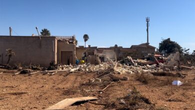
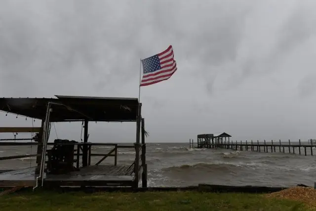
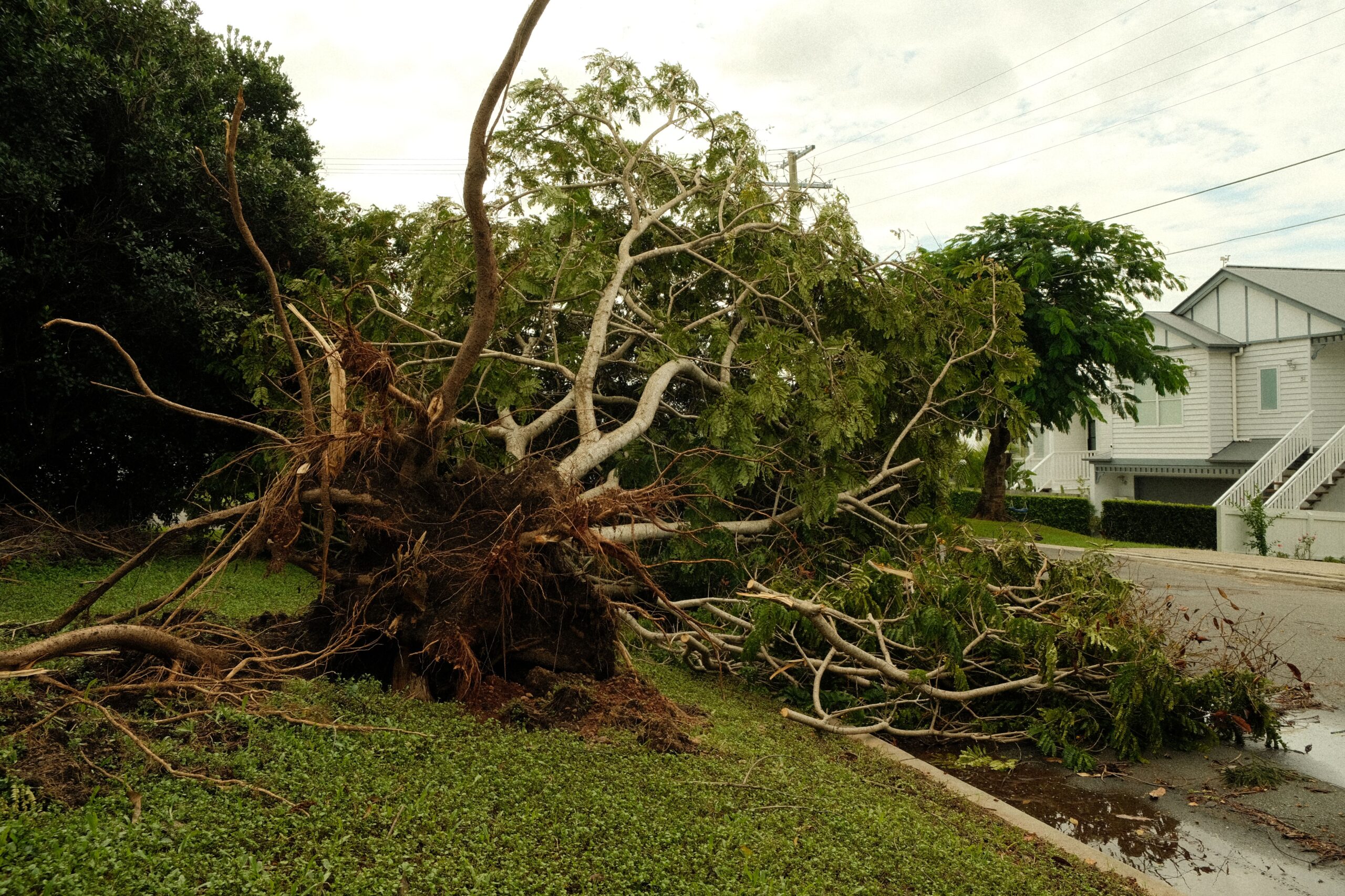
The system has resulted in two confirmed deaths. In Birmingham, Alabama, the Emergency Management Agency reported that a massive tree fell on a house overnight, trapping multiple occupants and killing one person. In the Pensacola area of Florida, Escambia County Sheriff Chip Simmons confirmed one fatality also caused by a fallen tree. All tropical storm and storm surge warnings were discontinued following the downgrade; however, life-threatening conditions persist due to the potential for flash flooding, tornadoes, and residual storm surge in the affected regions.
Infrastructure damage has been widespread, with more than 911,000 customers in Florida, Alabama, and Georgia reporting power outages as of early Saturday. In Florida, roads in Destin were flooded, and video footage captured a roof being ripped off an inn in Pensacola. Southern Alabama experienced similar conditions, with officials in Mobile reporting downed trees and power lines. Roads in Houston County, located in the southeastern corner of the state, were closed due to flooding and debris.
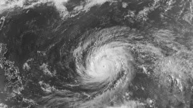
As a post-tropical cyclone, Isaias is no longer fueled primarily by warm ocean water. Despite this change in classification, the storm continues to produce several inches of rain and poses a significant threat of severe weather through the weekend. Meteorological forecasts indicate that the remnants of the system will bring heavy rain and potential flooding to much of the Southeast. The trajectory of the storm is projected to extend these impacts into parts of the Midwest and Northeast by Monday.
The transition from a hurricane to a post-tropical cyclone signifies that the system has lost its organized tropical structure. While the immediate threat of high-velocity winds associated with hurricane force has diminished in the coastal areas, the hydrological impact remains severe. The combination of saturated ground from recent rainfall and the continued heavy precipitation from the storm’s remnants increases the risk of rapid water accumulation and flash flooding. Authorities in affected counties have urged residents to remain vigilant and avoid travel through low-lying areas where roads may be obstructed by water or debris.
The storm’s movement inland highlights the dual threat posed by slow-moving or decaying tropical systems. Even after losing hurricane status, the expansive cloud bands of a post-tropical cyclone can deliver substantial rainfall over a large geographic area. This pattern has affected a wide swath of the southeastern United States, requiring coordination between emergency management agencies in multiple states. The power outage figures reflect the scale of the damage to the distribution network, with utility crews working to restore service to the hundreds of thousands of customers affected.
Monitoring of the storm’s path will continue as it traverses the central United States. The primary hazards currently under watch include tornadoes, which can form within the disorganized thundersquats of a post-tropical system, and persistent flooding. Residents in the Midwest and Northeast are advised to monitor local weather alerts for updates on precipitation totals and wind speeds. The eventual dissipation of the system is expected as it loses further energy over land, but the immediate aftermath requires sustained response efforts to address downed utilities and clear roadways.