According to the latest forecast from the U.S. National Oceanic and Atmospheric Administration (NOAA), the probability that this year’s event will be the strongest El Niño since records began in 1950 has risen to 83%, up from 75% in the previous month. Water temperatures in the central equatorial Pacific averaged more than two degrees Celsius above normal in September, a threshold that defines “Super El Niño” territory. El Niño is the warm phase of the El Niño-Southern Oscillation (ENSO), a natural cycle involving temperature changes in the tropical Pacific that alter atmospheric circulation. These warmer waters influence the jet stream, thereby shifting storm tracks, precipitation patterns, and temperatures across the Northern Hemisphere.
The implications of this strengthening event are already being felt in seasonal forecasts across the Atlantic. For the United Kingdom, the Met Office predicts a wet and stormy autumn followed by a colder, calmer winter. The link between the Pacific and the British Isles is complex and indirect, mediated by atmospheric teleconnections. El Niño is associated with the negative phase of the North Atlantic Oscillation, which weakens the winds that typically bring mild air from the Atlantic. Furthermore, the event can weaken the stratospheric polar vortex—a band of strong winds circling the Arctic—disrupting the jet stream and increasing the likelihood of sudden stratospheric warming events. These disruptions can allow colder air to reach the UK, presenting challenges for energy production; wind power generates over 40% of the UK’s electricity in winter, and cold, calm periods may necessitate greater reliance on gas to meet heating demand.
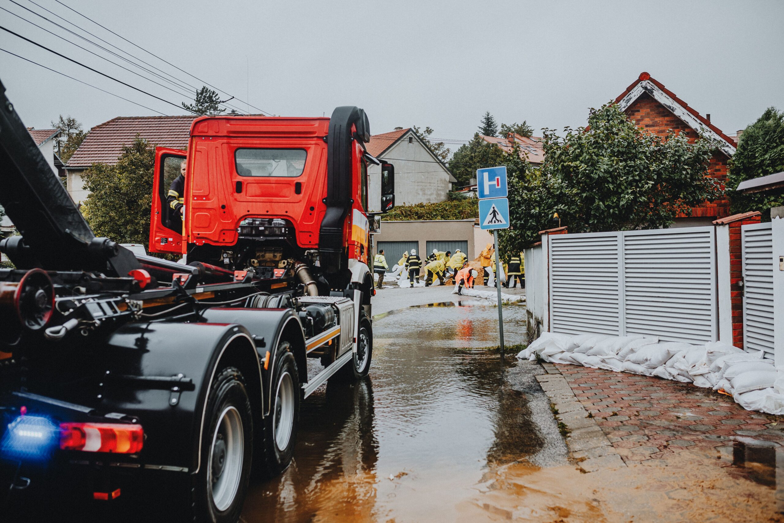
While the immediate effects vary by region, the historical record underscores the potential severity of extreme El Niño events. In 1982, a strong El Niño dumped vast volumes of rain on South America, filling some Peruvian rivers with 1,000 times their usual water volume, while southeast Australia was crippled by drought that culminated in the Ash Wednesday fires, which claimed 75 lives. In 1998, the event created a new lake three meters deep in Peru’s Sechura Desert and triggered widespread malaria due to record mosquito populations, while severe drought in Indonesia allowed forest fires to burn for weeks. More recently, the 2016 El Niño, coupled with already warming oceans, triggered the bleaching of more than two-thirds of the Great Barrier Reef. The current event is expected to have effects lasting well into 2027, potentially heightening the risk of hot, dry conditions and fierce bushfire seasons in Australia, slowing shipping through the Panama Canal, and forcing fish migrations to cooler waters.
Scientific inquiry is increasingly focused on how anthropogenic climate change interacts with this natural cycle. New research using climate models tests two futures: one where carbon emissions continue to rise, and one where the world meets net zero goals. The findings suggest that as the planet warms, extreme El Niño years are likely to become more common. Even if the world reaches net zero, the tropical Pacific could remain in an El Niño-like state for centuries, with extreme events occurring more frequently than in the pre-industrial era. While there is little direct evidence yet that human-induced climate change is causing El Niños to occur more frequently, it certainly amplifies the warming effect and can intensify “climate whiplash,” where regions flip-flop between wet and hot-dry conditions.
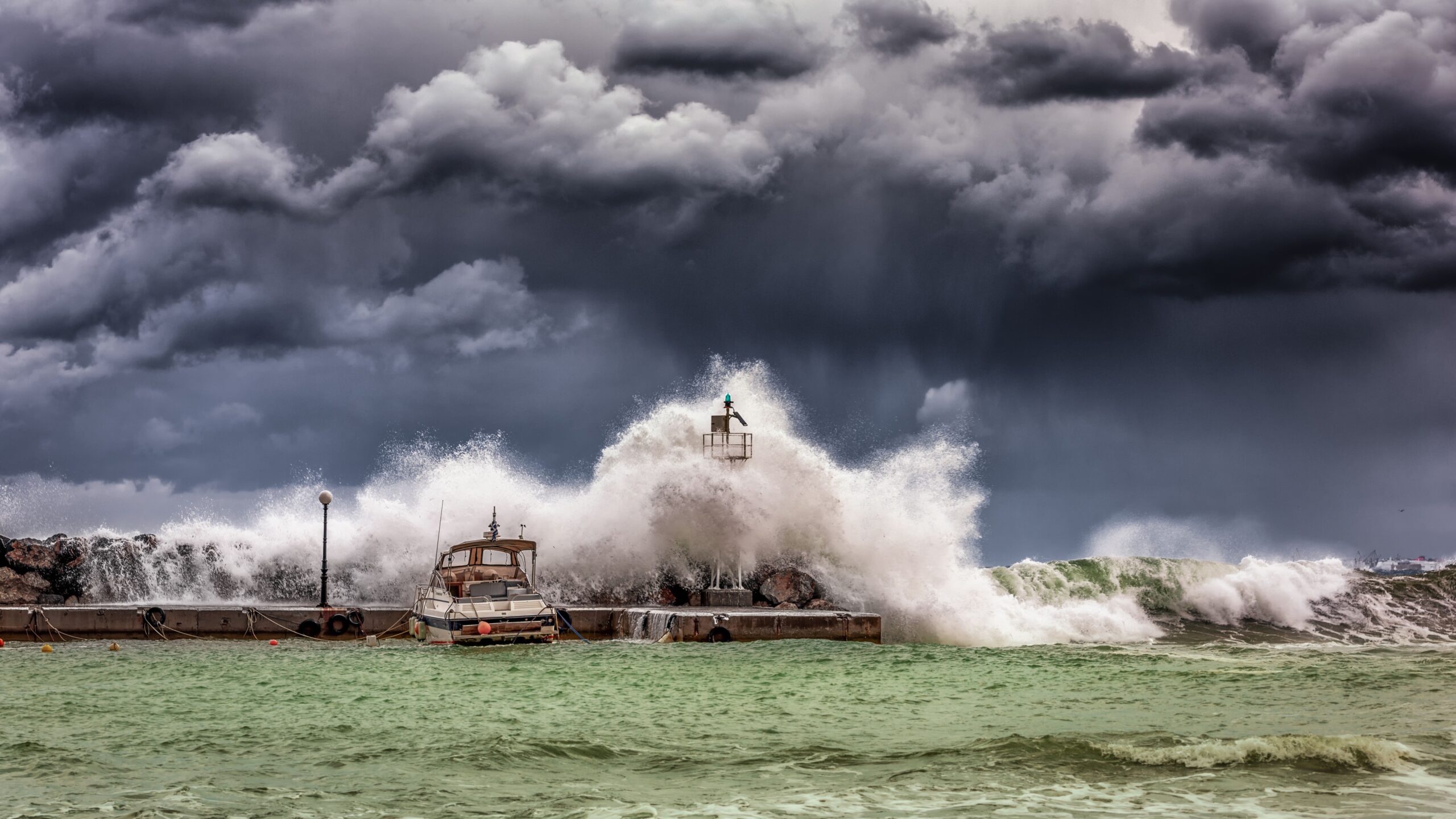
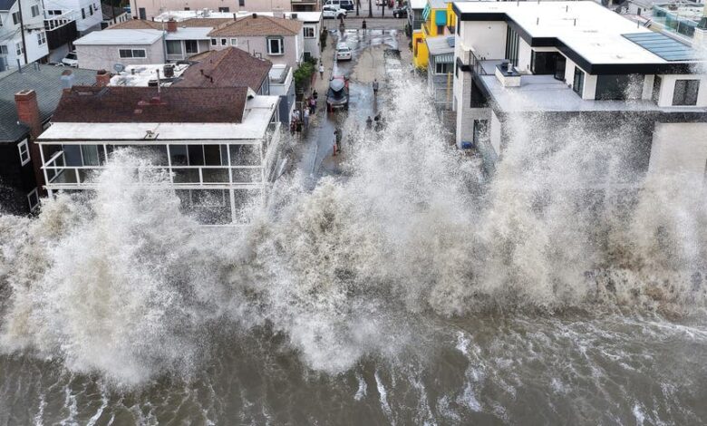
The distinction between observation and projection is critical. We cannot predict the exact timing of a specific storm or heatwave, nor can we detail the precise local impacts with certainty. However, the scientific consensus supports the trend that a warming baseline makes the consequences of El Niño more severe. For communities like Long Beach, the immediate reality is one of heightened coastal vulnerability, where natural atmospheric cycles intersect with rising sea levels and ocean heat. As the El Niño peaks later this year, the global weather system will continue to adjust, with the frequency and intensity of such extreme events serving as a measurable indicator of the planet’s changing climate.