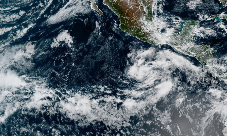
Forecast models indicate that Vance could initially move northwest before turning somewhat back toward Mexico. If the storm intensifies to a major hurricane, it would become the 10th Category 3 or stronger storm in the basin this year. A strong Tehuantepecer wind event along southern Mexico may aid further organization of the system. These powerful offshore winds force cooler air through the Chivela Pass, a gap in the mountains of southern Mexico. When these winds push offshore, they interact with the surrounding tropical environment to increase spin in the lower atmosphere. If this spin aligns with an existing disturbance and warm ocean waters, it can help thunderstorms organize around a developing area of low pressure.
In the western Pacific, Super Typhoon Champi remains an exceptionally powerful storm. It rapidly intensified to maximum sustained winds of 185 mph with gusts reaching 225 mph. At this intensity, Champi tied Super Typhoon Sinlaku, which formed earlier this week, as the strongest storm on Earth in 2026. The typhoon intensified over extremely warm waters, with little wind shear and limited dry air nearby, providing an ideal environment for strengthening.
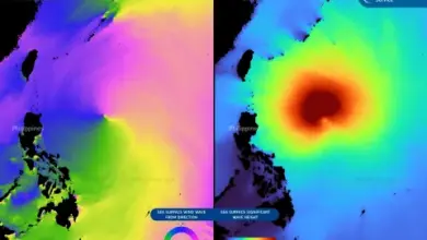
Champi has also generated enormous seas, with significant wave heights near the storm’s center reaching 68 feet. The storm currently has sustained winds of 120 mph. The FOX Forecast Center will continue to monitor changes in Vance’s strength and track. No casualties or specific damage reports were provided in the available materials.