
While the Rockies experience this rare winter-like intrusion, the same frontal system is driving a trail of heavy rain and severe thunderstorms across the rest of the continent. The National Weather Service and NOAA’s Storm Prediction Center (SPC) have issued multiple alerts, reflecting the diverse and simultaneous threats posed by this weather pattern. In the South, a Level 3 out of 5 risk of severe storms has been designated for parts of central Mississippi and Alabama, including Jackson, Birmingham, and Tuscaloosa. The primary concern in this region is the potential for supercell thunderstorms capable of producing large hail and tornadoes, a threat that looms particularly heavily on Wednesday evening.
The human cost of these shifting weather patterns was starkly realized in the Midwest, where the system’s precursors and associated instability resulted in deadly tornadoes. In Kankakee County, Illinois, and neighboring Lake Village, Indiana, at least three people died when strong storms struck on Tuesday. A husband and wife were found dead at their home in Lake Village, which was hit by a tornado, while an Army veteran was found deceased in the wreckage in Aroma Park, Illinois. The destruction in these communities has triggered an immediate and organized community response. Local businesses and organizations have mobilized to provide relief; for instance, the Fun Hub bar in Aroma Park has become a hub for food distribution, while the organization Still I Rise in Kankakee has hosted emergency giveaways of clothing and hygiene items. The American Red Cross is coordinating shelter efforts, moving operations from Kankakee Community College to Redeeming Life Ministries to assist those displaced by the storm damage.
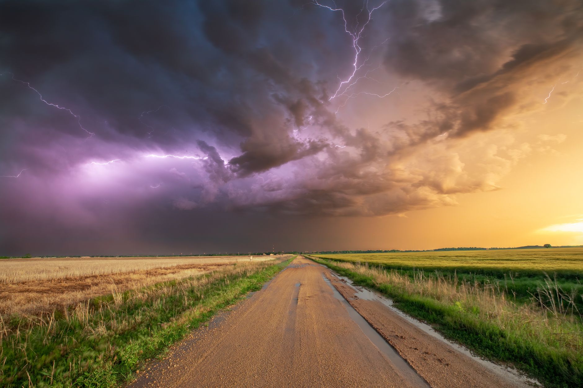
The scientific mechanics of this event involve the collision of warm, moist air with a rapidly advancing mass of cold air. This interaction creates the instability necessary for severe convective storms in the South and Midwest, while the cold air mass itself triggers precipitation in the form of snow at higher elevations in the Rockies. The SPC notes that the severe threat will shift toward the Southeast on Thursday as the front reaches the coast. Meanwhile, in the East, the system is delivering a washout of heavy rain. Downpours are expected to reach the Interstate 95 corridor, with Boston, New York City, Philadelphia, and Washington, D.C., anticipating rainfall between a half-inch and an inch. This precipitation, while causing potential travel disruptions—over 200 flights were delayed or canceled at Chicago’s O’Hare International Airport on Tuesday—offers a meteorological benefit for the Southeast.
Specifically, southern Georgia is currently experiencing extreme drought, and the widespread 2 to 3 inches of rain forecast for Mississippi, Alabama, Georgia, and Tennessee through Friday is considered beneficial for alleviating these dry conditions. This illustrates the complex dual nature of such frontal systems: they can be destructive in one region due to wind shear and instability, while simultaneously providing critical moisture in another region suffering from aridity. The Weather Prediction Center (WPC) has issued a Level 3 out of 4 flash flood risk for southern Mississippi and Alabama, indicating that while the rain is needed, its intensity poses significant flooding hazards in already saturated or vulnerable areas.

The aftermath of this storm system will bring a prolonged period of cold temperatures to the Midwest and Northeast. In the Chicago area, following the immediate threat of Sunday’s storms—which includes a Wind Advisory and a Winter Storm Watch for parts of northern Illinois and Wisconsin—residents face a sharp drop in temperature. Highs on Monday are expected to be in the 20s, with windchills dropping to around zero. By Tuesday, the situation may worsen, with windchills starting below zero and air temperatures potentially reaching the single digits in the morning. This cold snap underscores the rapidity with which weather patterns can shift, leaving communities to manage both the immediate cleanup of storm damage and the logistical challenges of unseasonably frigid conditions.
As the front continues to push east, the focus shifts from the active severe weather to the broader implications of such volatile spring patterns. The simultaneous occurrence of May snow in Denver and deadly tornadoes in Illinois highlights the increasing complexity of weather forecasting and emergency preparedness. For the communities in Kankakee and Aroma Park, the next phase involves not just climate observation, but the practical reality of reconstruction and recovery, supported by local solidarity and federal agency coordination. The meteorological event is moving on, but the environmental and social adjustments required to cope with these extreme inter-seasonal fluctuations remain an ongoing challenge.