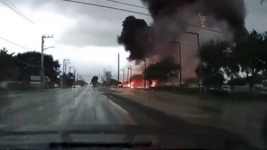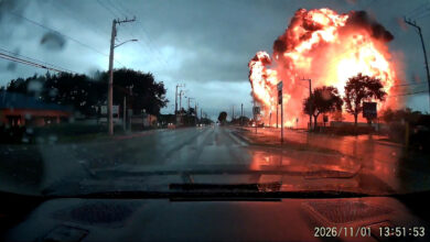
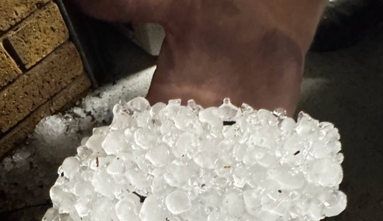
According to BoM meteorologist Christie Johnson, the primary risk areas for the current system include the south-east coast of Queensland, the Darling Downs, the Granite Belt, the Wide Bay-Burnett region, and the southern Central Highlands. “These storms may produce damaging to destructive winds, large to giant hail and heavy rainfall that could lead to flash flooding,” Johnson stated. The agency predicts peak storm activity from late morning through the afternoon as daytime heating intensifies the atmospheric instability. Destructive wind gusts of up to 120 km/h are possible, posing a significant threat to infrastructure such as trees and powerlines. While Johnson noted that tornado-like conditions are not out of the question given the potential for supercell development, she emphasized that such events are rare in this context, with damage from the supercell’s winds being the more probable outcome.
This weather pattern follows a period of unusual atmospheric stability in Queensland. Earlier in the week, BoM meteorologist Angus Hines described September as “very benign, very dry, very settled,” noting that the state had experienced a “delayed” start to its wet season. Brisbane recorded only 1.4 mm of rainfall in September, compared to its long-term average of 29 mm. This dry spell contrasted sharply with northern Queensland, where areas such as Innisfail received between 150 mm and 250 mm of rain. The sudden onset of severe storm activity represents a shift from this settled pattern, with Hines warning that the storms could be “pretty punchy” and potentially cause significant disruption in populated areas including Brisbane, the Gold Coast, the Sunshine Coast, and Toowoomba.
The severe weather is not confined to Queensland. A broader cold front is sweeping across the country, affecting Victoria, New South Wales, and parts of Queensland. On Saturday, a front is expected to impact Melbourne and eastern Victoria, with the BoM predicting damaging winds, heavy rainfall, and large hail. The risk area is forecast to extend northward into inland New South Wales and along the coast south of Sydney, including the Wollongong and Illawarra regions, before reaching Brisbane on Sunday. In Victoria, where significant rainfall has already fallen in recent weeks, the BoM has highlighted an increased risk of flash flooding. Meteorologist Angus Hines warned that areas with heightened rainfall in the past fortnight are particularly vulnerable to rapid water accumulation.
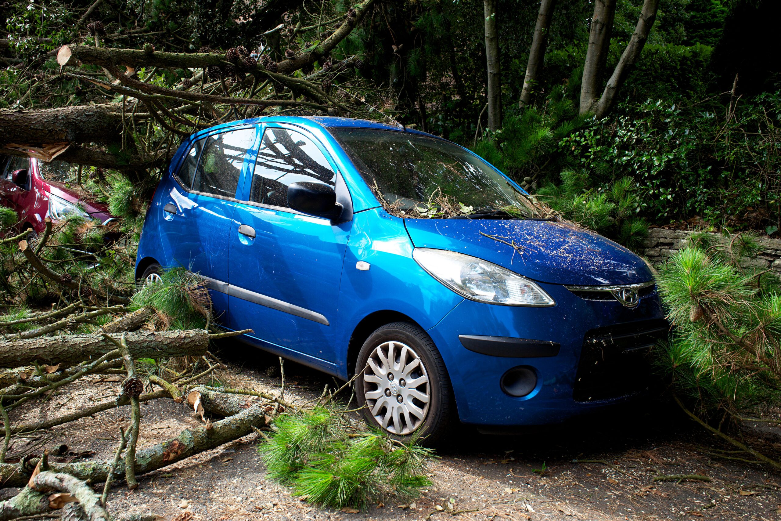
The severity of the current storms is driven by the interaction of a cold front with warm, humid air. Hines described the follow-up band of storms as packing “a punch,” with the potential for wind gusts exceeding 125 km/h in some locations. These conditions are capable of bringing down large trees and causing structural damage. The BoM has issued severe thunderstorm warnings for multiple capital cities, including Melbourne, Canberra, Sydney, and Brisbane, advising residents to monitor radar updates as storm cells can change rapidly.

Scientific context suggests that while the current events are specific weather occurrences, they occur against a backdrop of seasonal climatic factors. A strong El Niño event is expected to persist into summer, which typically brings higher-than-average temperatures and drier conditions to parts of Australia, potentially exacerbating fire risk in the long term. However, the immediate threat is the mechanical damage and flooding associated with the convective storms. The BoM has stressed that storm warnings are dynamic and may be issued or cancelled throughout the day as systems evolve.
The economic and social implications of these repeated storm events are significant, particularly for communities in the south-east which are densely populated and rely on critical infrastructure such as power grids and road networks. The proximity of the two storm events—separated by less than 24 hours—means that recovery efforts from the initial Monday storms may be interrupted by the onset of the new system. Residents in affected areas are advised to take precautions, including securing outdoor objects and avoiding travel during peak storm hours. The BoM encourages the public to check local warnings and remain vigilant, as the convergence of atmospheric troughs creates a high-probability environment for severe weather development.