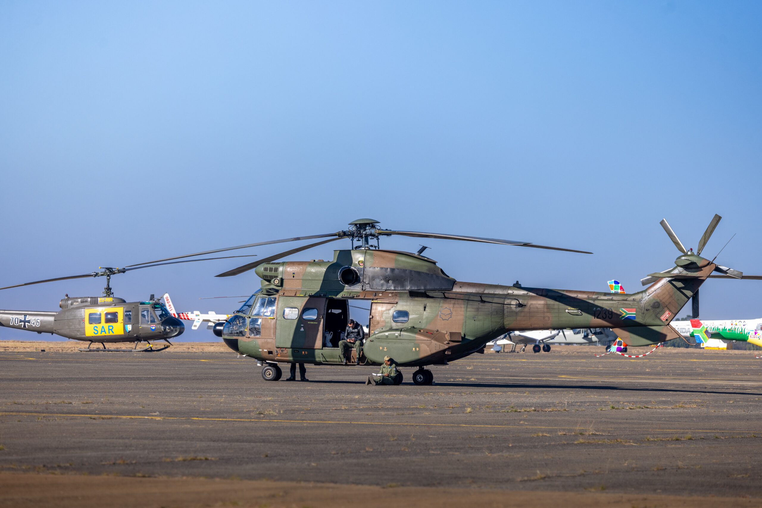
In response to the approaching threat, the Air Force Reserve’s 403rd Wing relocated its aircraft on October 8. This precautionary measure was taken to safeguard military assets as Isaias strengthened and moved toward the U.S. Gulf Coast. The timing of the relocation coincided with the intensification of the storm system, which necessitated broad-based preparations for landfall.
The hurricane’s impact on the energy sector has been substantial. Production of oil and gas in the Gulf region was shut down as the storm moved closer to coastal platforms. These shutdowns are standard safety procedures employed when tropical systems pose a direct threat to offshore operations, but they contribute to temporary fluctuations in regional supply and market dynamics. The coordination between military logistics and industrial safety underscores the scale of preparation required for major tropical cyclones in the Atlantic basin.
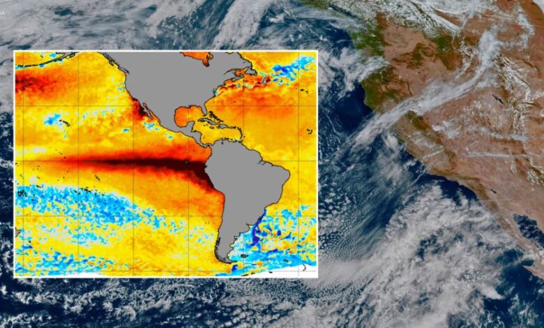
While attention in the Atlantic focuses on Isaias, a distinct and significant climate phenomenon is developing in the Pacific Ocean. A powerful El Niño event is intensifying across the basin, altering global weather patterns and raising concerns for the western United States. This development is independent of the Gulf hurricane activity but is simultaneously influencing winter forecasting for North America.

NOAA estimates there is a 75% chance that the current El Niño will become the strongest event on record since observations began in 1950. If this projection holds, the implications for regional weather will be profound. The agency expects the pattern to reach its peak intensity, which typically correlates with significant shifts in precipitation and temperature across the Pacific Rim.
For Southern California, the strengthening of this El Niño signals a departure from normal seasonal expectations. The region faces an increased likelihood of a wetter-than-normal winter. Historical data associated with strong El Niño events suggests that such conditions can lead to a cascade of hazards, including river flooding, debris flows, and damaging ocean surf. These risks are particularly acute in areas with recent wildfire scars, where saturated soil and intense rainfall can trigger rapid debris flows and flash flooding.
The distinction between the Atlantic hurricane season’s active storm and the Pacific’s slow-developing oceanic pattern highlights the complexity of managing concurrent climate risks. While Isaias represents an acute, short-term threat requiring immediate evacuation and industrial shutdown, the El Niño event represents a seasonal shift that requires longer-term preparedness and resource allocation for potential flooding and infrastructure stress.
Monitoring of the El Niño will continue as meteorologists track the evolution of sea surface temperatures across the Pacific. The 75% probability estimate for a record-breaking event serves as a critical indicator for state and local emergency management agencies in California. As the winter season approaches, the focus for these agencies will likely shift from hurricane preparedness to mitigating the risks associated with extreme rainfall and flooding, guided by the evolving strength of the El Niño signal.
The convergence of these two major weather systems—one in the Atlantic and one in the Pacific—demonstrates the interconnected nature of global climate dynamics. While they affect different regions and operate on different timescales, both necessitate rigorous monitoring and adaptive responses from both public and private sectors to minimize impacts on safety, infrastructure, and economic stability.