The immediate impact is being felt most acutely in the Southwest, where a heat dome is expected to park over the region early next week. Forecasts indicate that Phoenix will see temperatures reaching 98 degrees Fahrenheit on Tuesday, climbing to 103, 105, and potentially 107 degrees in the following days. This trajectory is historically anomalous. In 137 years of record-keeping, Phoenix has never reached 100 degrees before March 26, with the first 100-degree day typically occurring in early May. The rapid onset poses significant public health risks; as the population is not acclimated to such intense heat this early in the year, the physiological impact is expected to be more severe than typical summer peaks. Similar conditions have already emerged in Los Angeles, where unusual 90-degree March weather has forced residents to seek shade, with some reporting that daily routines, such as running, have become physically difficult due to the intensity of the heat.
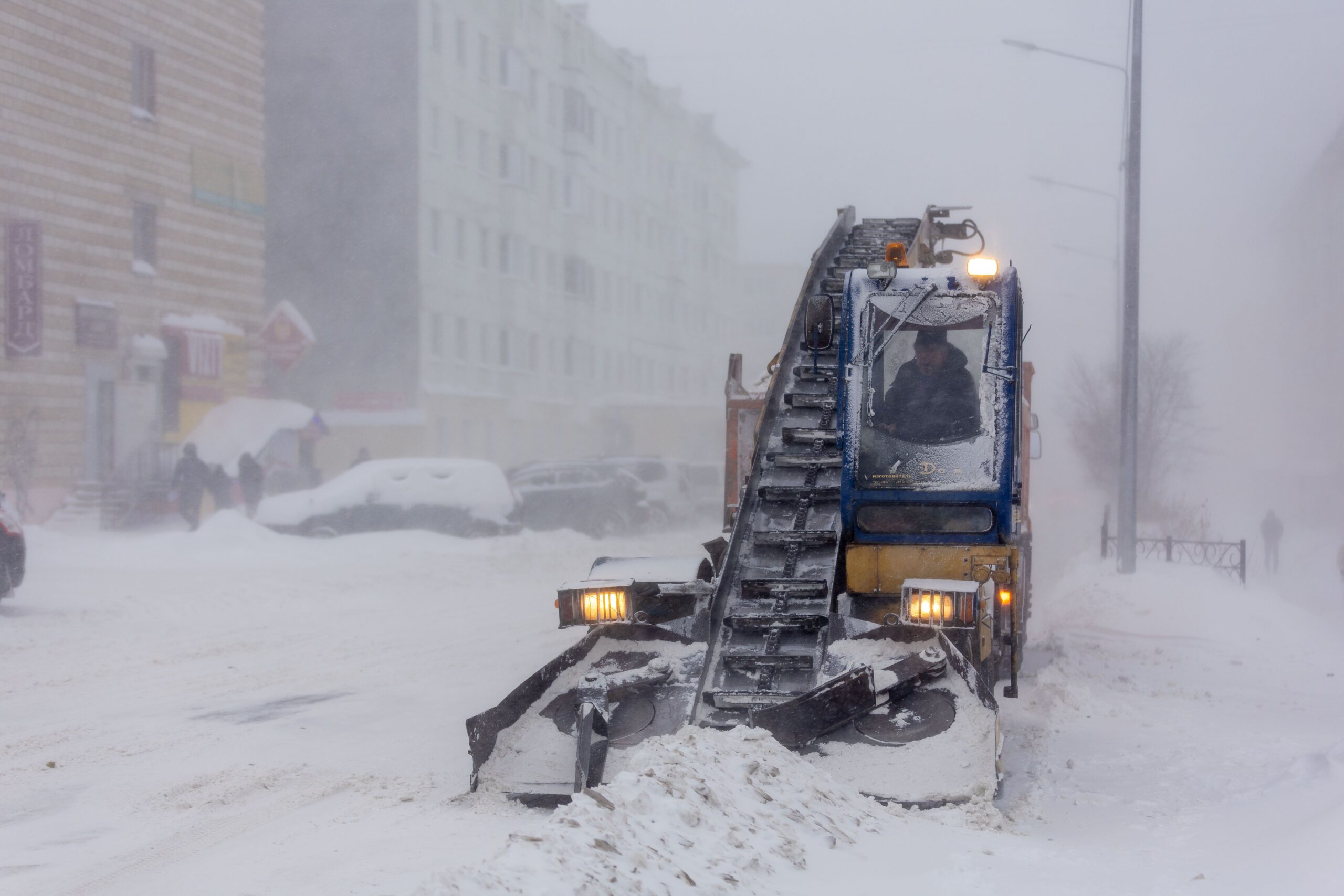
While the Southwest bakes, the Midwest and East are preparing for the opposite extreme. A polar vortex system, which typically keeps frigid air confined near the North Pole, is forecast to break down and send its chill deep into the continental United States. Minneapolis is projected to hover near zero degrees, while Chicago may see single-digit temperatures. The cold snap is expected to extend into the Northeast and Mid-Atlantic, with temperatures in the teens and 20s, and potentially even reaching the 20s in Atlanta. This invasion of Arctic air is concurrent with two successive storm systems moving along the northern tier and Great Lakes, which are predicted to dump three to four feet of snow in some locations between Friday and Monday.
Atmospheric Mechanisms and Long-Range Context
The simultaneous occurrence of these extremes is driven by complex atmospheric dynamics. A polar vortex is a large ring of cold, swirling air located in the stratosphere, 10 to 30 miles above the Earth’s poles. It is present year-round but strengthens in autumn as the Arctic loses sunlight. When the vortex is stable and tight, it acts as a wall, holding freezing air within the polar region and allowing milder weather to persist in mid-latitudes. However, when warm air pulses from lower ocean levels push upward, they can trigger a phenomenon known as sudden stratospheric warming. This weakens the vortex, causing it to stretch or break down, which allows cold air to spill southward into populated areas.
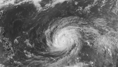
Current satellite data indicates that the 2026 polar vortex is organizing rapidly over the high Arctic, with temperatures dropping quickly in the upper atmosphere. This natural strengthening would typically keep cold air trapped. However, long-range climatic models suggest a complicating factor: the formation of a Super El Niño in the Pacific Ocean. This phenomenon is generating energy waves upward into the atmosphere, which tends to disrupt the polar vortex system. The interaction between a strengthening vortex and El Niño-driven energy waves creates the conditions for the extreme weather variability currently observed across the United States.
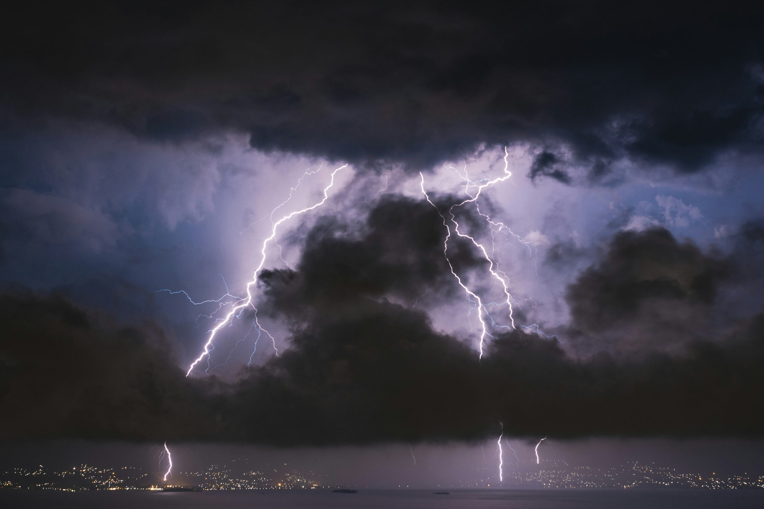
“All of the country, even if you’re not necessarily seeing extremes, are going to see generally changing from cold to warm, or warm to cold to warm,” said meteorologist Marc Chenard of the National Weather Service’s Weather Prediction Center.
Experts note that this pattern is creating a challenging forecast environment. Former NOAA chief scientist Ryan Maue stated that extreme weather is expected in all 50 states. The juxtaposition of record heat in the west and deep cold in the center and east illustrates the potential for atmospheric instability. While the polar vortex is currently reorganizing, the disruption caused by Pacific energy waves means that the release of cold air into the mid-latitudes may remain volatile for the coming weeks. For communities in the Great Lakes and Northeast, the immediate concern is the heavy snowfall and ice storms accompanying the cold snap, while the Southwest faces the acute health hazards of unseasonable heat.
As the atmosphere continues to shift, the focus remains on how the polar vortex maintains its integrity against these disruptive forces. The coming days will determine whether the cold air remains entrenched in the Midwest or if the vortex stabilizes, potentially returning milder conditions to the south while the heat dome persists in the west. The current situation underscores the increasing frequency of simultaneous, contradictory weather extremes that challenge traditional seasonal expectations.