The initial impact is centered in California and the broader Southwest, where the system is delivering heavy rains ahead of and over the Halloween weekend. Southern California is experiencing moderate-to-heavy soaking rains, a rarity in the region. In San Diego, historical records indicate that there have been only nine Halloweens with measurable rain since 1850, the most recent occurring in 1987. Now, the city faces a significant disruption to its typical dry autumn climate, with rain expected to continue through Monday morning as the system pushes inland.
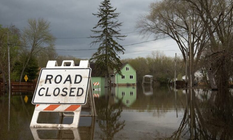
The environmental significance of this moisture transfer is most acute in the Intermountain West. As the storm moves eastward, widespread rainfall of one to two inches is forecast for portions of Arizona, with totals potentially reaching five inches between Phoenix and Flagstaff through Monday. Flagstaff has already recorded 5.69 inches of rain in October; the addition of another three inches, as forecast, has prompted a Level 2 out of 4 flash flood threat for the entire weekend. This accumulation highlights the vulnerability of the region to rapid hydrological changes, where soil saturation from prior rainfall significantly increases the risk of significant flash flooding.
Concurrently, the interaction between the advancing storm and trapped cold air at higher elevations is generating substantial snowfall. The southern Rockies are projected to receive the highest snow totals, ranging between 12 and 18 inches, extending from the Sierra Nevada to the Rocky Mountains. This transition from rain to snow underscores the complex vertical temperature profiles within the storm system, which are being influenced by the broader El Niño pattern. El Niño is actively helping to steer the Pacific jet stream over the Southern Tier of the country, a mechanism that explains the unusual timing and intensity of these November precipitation events.
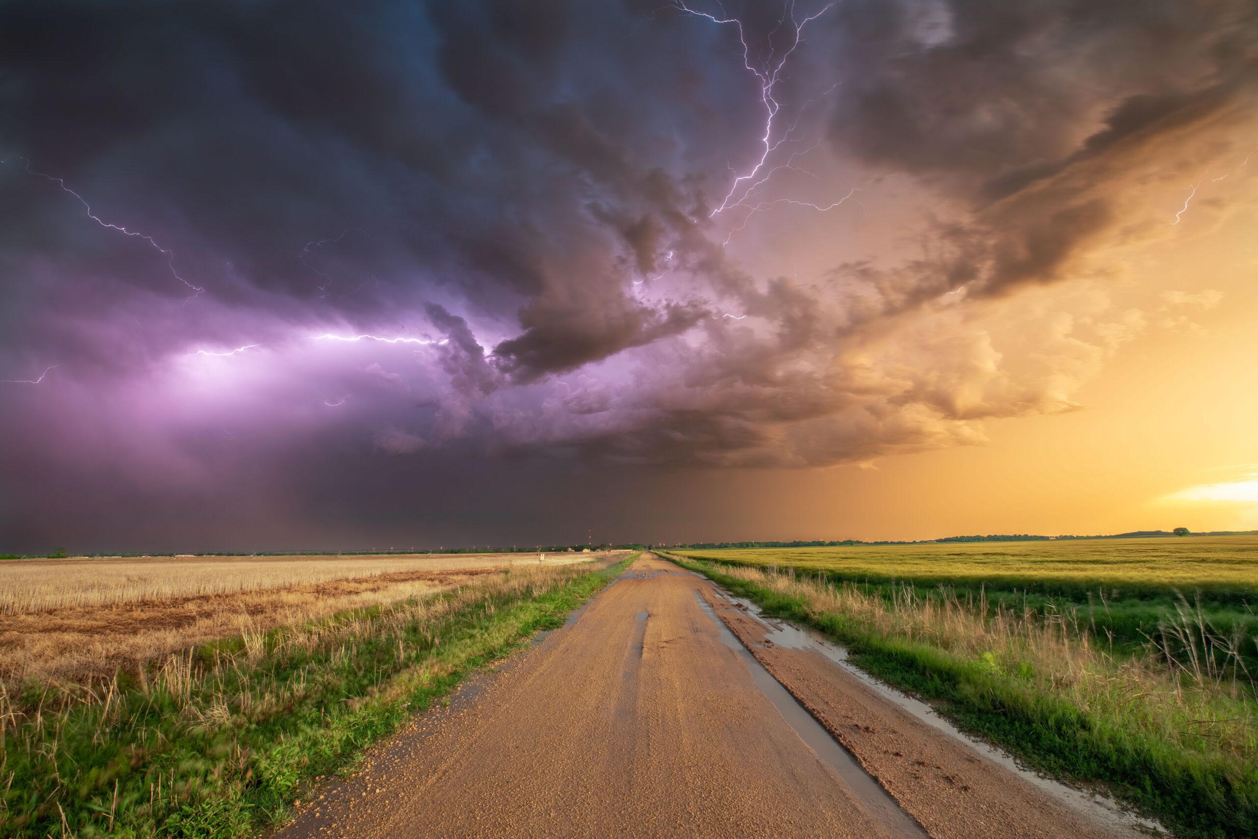
As the system moves into the Plains and Midwest later in the week, the hazards shift from flooding and snow to severe convection. A new area of low pressure across the Plains is expected to form, drawing in warm, moist air that will interact with an approaching cold front. This dynamic is likely to trigger severe storms from Tuesday into Wednesday. Nearly 40 million Americans are currently under a Level 1 out of 4 flash flood threat from Texas to Wisconsin on Monday. While the precise location and strength of the low-pressure area remain uncertain due to disagreements among forecast models, the atmosphere is described as “primed and energized” for severe weather from Texas into parts of the Southeast by midweek. From Wednesday onward, these storms are expected to continue moving east, potentially bringing heavy rain to the East Coast by Thursday and Friday.
The human dimension of this weather event is evident in the extensive public health and emergency management responses being implemented. Local governments, such as those in Erie County, New York, are activating winter storm scales and issuing alerts for extreme cold, freezing rain, and high winds. The Erie County Department of Health, led by Commissioner Dr. Gale Burstein, has emphasized the dangers of wind, snow, and cold temperatures, warning of increased risks for hypothermia, frostbite, carbon monoxide poisoning, and heart attacks from overexertion. Public health officials are urging residents to dress in layers, cover exposed skin, and check on vulnerable neighbors, particularly older adults and those with chronic medical conditions.
These local measures reflect a broader national preparedness effort. Resources are being distributed in 13 languages, including Arabic, Spanish, Haitian Creole, and Vietnamese, to ensure accessibility for diverse communities. The International Institute of Buffalo is providing winter weather preparedness information sheets, while local alert systems like BUFFALERT and New York State’s text-alert service are being promoted to keep residents informed. The emphasis on multi-lingual communication and targeted outreach indicates a recognition that the impacts of extreme weather are not distributed evenly and require tailored responses to mitigate health risks.

Scientifically, the event serves as a case study in how large-scale climate patterns like El Niño can modulate regional weather extremes. The steering of the jet stream by El Niño is a documented phenomenon that increases the likelihood of wetter, stormier conditions in the Southern US. However, the specific intensity of the flooding in the Southwest and the subsequent severe storm setup in the Plains illustrate the complexity of local atmospheric interactions. Forecast models remain uncertain about the exact trajectory and strength of the low-pressure system in the Plains, highlighting the limitations in predicting precise severe weather outcomes even when the broad-scale pattern is well-understood.
As the storm system continues its eastward march, the focus shifts from immediate flood and snow impacts to the potential for severe thunderstorms and heavy rain in the East. The next verified development will be the evolution of the low-pressure system in the Plains and its interaction with the cold front, which will determine the severity and location of the storms expected to reach the Southeast and East Coast by the weekend. For communities in the Southwest, the immediate priority remains flood mitigation and infrastructure management, while those in the Rockies and Plains prepare for the transition to severe weather and extreme cold conditions.