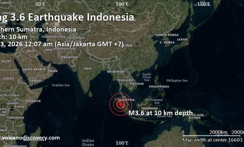
According to available data, the depth of the magnitude 3.6 quake could not be precisely determined, though it is assumed to have been shallow. The event was reported to be felt by some people in the vicinity of the epicenter. While the magnitude indicates a light earthquake, the proximity to populated areas such as Padangsidempuan necessitates monitoring for potential aftershocks or structural concerns, although no immediate large-scale damage or casualties were reported in the provided sources.
This minor event occurred in the context of more significant seismic activity in the same general region. Reports indicate that a magnitude 6.1 earthquake also hit North Sumatra, alongside a magnitude 5.3 earthquake that jolted the Mandailing Natal area. Crucially, both of these larger events were assessed as having no tsunami potential. This distinction is vital for public safety, as the Sunda Strait and the western coast of Sumatra are geologically prone to tsunamis following underwater or shallow crustal earthquakes, but the specific parameters of these events did not meet the criteria for a tsunami alert.

The geographic scale of these events is localized to the western coast of North Sumatra, a region situated on the meeting point of the Eurasian and Indo-Australian tectonic plates, which makes it inherently seismically active. The presence of multiple quakes within a short timeframe suggests ongoing tectonic adjustment in the area. While the M3.6 quake near Padangsidempuan was the most precisely timed and localized event in the records provided, the concurrent M6.1 and M5.3 events underscore the broader regional instability.
From a policy and preparedness standpoint, the immediate priority for local authorities in Kota Padangsidimpuan and Mandailing Natal is damage assessment and public reassurance. The confirmation that the larger M6.1 and M5.3 quakes posed no tsunami threat helps mitigate the risk of panic and allows emergency services to focus on any structural damage or landslides that may have occurred. The shallow depth of the M3.6 quake, while consistent with its being felt by residents, also aligns with the general profile of shallow crustal earthquakes which are more likely to be felt at the surface than deeper events of similar magnitude.
There is no evidence in the provided sources to suggest that these earthquakes are linked to long-term climate change trends, as seismic activity is driven by tectonic forces rather than atmospheric or oceanic warming. However, climate-induced environmental changes, such as increased rainfall intensity or soil saturation from heavy rains, can sometimes lower the threshold for landslides following seismic shaking. While the sources do not provide meteorological context for November 3, 2026, this interaction between seismic events and weather patterns is a known variable in risk assessment for mountainous and coastal regions like North Sumatra.
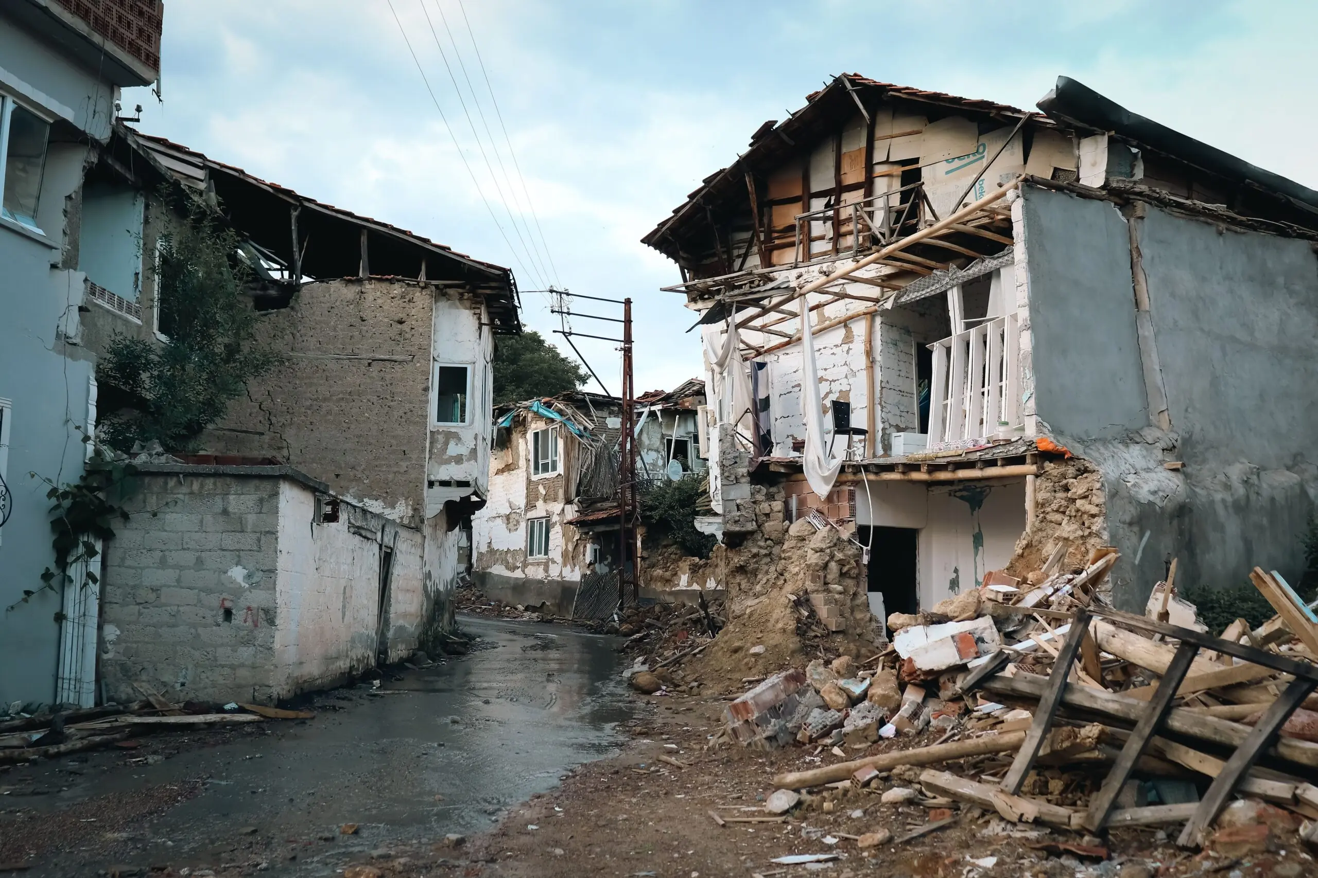
The distinction between the reported events is clear: the M3.6 quake was a direct, localized seismic event with confirmed human perception, while the M6.1 and M5.3 quakes were larger in magnitude but explicitly noted as non-tsunami-generating. The data for the M3.6 event is specific to its location (22 km north of Padangsidempuan) and time (12:07 am Jakarta time), providing a precise anchor for local impact assessment. For the larger quakes, the primary information provided is their magnitude and the lack of tsunami threat, which is the critical safety metric for coastal populations.
As monitoring continues, the focus will likely shift to detecting any aftershock sequences from the M6.1 and M5.3 events, which could pose further risks to infrastructure. The immediate aftermath of the M3.6 quake appears to be limited to minor tremors felt by residents, but the cumulative effect of multiple seismic events in a short period warrants sustained vigilance from geologists and civil defense agencies in the region.