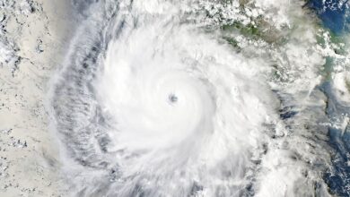

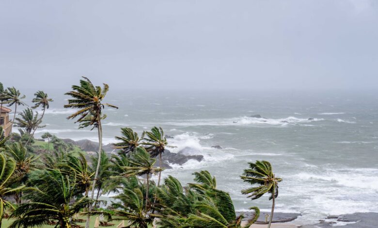
The storm’s development prompted the issuance of a tropical storm watch for a specific stretch of the Mexican Pacific coast. The advisory covers the region extending from Punta San Telmo to Playa Perula. This designation serves as an early warning to coastal communities, maritime operators, and local authorities, signaling that tropical storm conditions are possible within the designated timeframe. While the current status is that of a tropical storm, the forecast trajectory suggests a significant increase in intensity over the next 24 to 48 hours.
Maritime and offshore operations in the region are advised to monitor the system closely. As the storm intensifies, the associated hazards typically include sustained winds, heavy rain, and potential coastal flooding, although specific rainfall totals and wind speed measurements for this particular system were not detailed in the immediate reports. The transition from tropical storm to hurricane status is a critical threshold in meteorological tracking, as it signifies a substantial rise in wind speeds and an increase in the potential for structural damage and disruption to infrastructure.
The geographic scope of the watch area, from Punta San Telmo to Playa Perula, highlights the specific zones most vulnerable to the storm’s outer bands. These coastal areas often face risks of high surf and rip currents even before landfall or before the core of the system makes direct contact with the shoreline. For residents and visitors in these regions, the watch serves as a prompt to review emergency preparedness plans, secure loose objects, and stay informed through official channels.
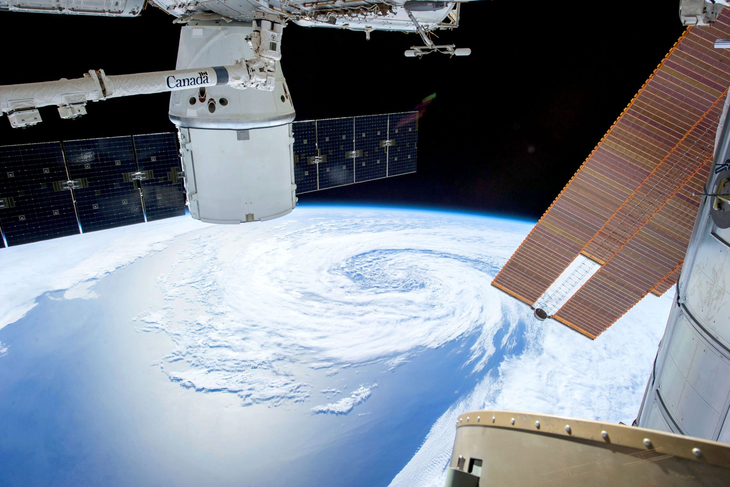
Meteorological tracking of such systems relies on continuous data collection from satellite imagery, reconnaissance flights, and surface observations. The forecast for Rachel to become a hurricane by Tuesday reflects the current best estimate based on these data streams. However, as with all severe weather events, there is an inherent degree of uncertainty in precise timing and intensity. The system’s path may shift, and the rate of intensification could vary depending on environmental factors such as sea surface temperatures, wind shear, and humidity levels in the upper atmosphere.
The formation of Rachel adds to the list of named storms active during the Pacific hurricane season. Each system presents unique challenges for disaster management and response agencies. The distinction between a tropical storm watch and a warning is important for public safety. A watch indicates that conditions are favorable for tropical storm-level hazards, while a warning is issued when such conditions are imminent or occurring. The current watch status suggests that while the threat is credible and requires preparation, the immediate impact has not yet reached the threshold for an emergency declaration in those specific zones.
As the storm moves away from the coast and strengthens, the focus shifts to its ultimate landfall location or its eventual dissipation over open water. The Pacific coast of Mexico is a common path for tropical cyclones, and the region has extensive experience in managing such events. Local authorities continue to monitor the storm’s progress and will update the public as the system evolves. The transition to hurricane status by Tuesday will likely prompt further advisories, potentially escalating the watch to a warning if the forecast track remains consistent with a closer approach to the coast.
For the maritime sector, the strengthening of Rachel necessitates careful planning for vessel movements and offshore operations. The all-in-one platform solutions for maritime operations and weather intelligence are increasingly relied upon to integrate real-time data and optimize safety protocols. The integration of weather intelligence into existing systems allows for more precise tracking and predictive modeling, which is crucial for minimizing risk in the face of developing tropical systems.
The next significant update will come as forecasters reassess the storm’s intensity and track in their regular advisories. The key question for the coming days is whether Rachel will maintain its course and intensity as it moves, and how the tropical storm watch area will be adjusted in response to the hurricane’s development. Residents in the affected coastal zones are urged to remain vigilant and follow guidance from local emergency management officials.