
The predicted path places the direct impact zone between Pensacola and Destin, Florida. However, the geographic scale of the threat extends well beyond the immediate coastline. Impacts are expected to reach parts of Alabama, Georgia, Mississippi, and Louisiana. Following landfall, the storm’s remnants are forecast to spread heavy rainfall across more than 15 states in the eastern United States, signaling a prolonged period of wet weather and potential flooding risks for a significant portion of the country.
As the storm approached, state and local officials moved to mitigate risks. In Florida, Governor Ron DeSantis declared a state of emergency for dozens of counties and urged residents to strictly adhere to evacuation orders. During a Friday news conference, DeSantis emphasized the specific danger posed by storm surge, stating that it is the primary factor putting lives in jeopardy and causing the most significant structural damage. “The surge is really what puts a lot of people’s lives in jeopardy if they haven’t heeded evacuation orders and does the most significant damage from these storms,” he said.
Mandatory Evacuations and Emergency Declarations
Emergency management protocols have been activated across the Gulf Coast. Mandatory evacuation orders have been issued for several specific jurisdictions, including Walton County in Florida, as well as Okaloosa and Escambia counties. In Alabama, evacuation orders were issued for Dauphin Island and for all coastal tourists and visitors in the city of Orange Beach.
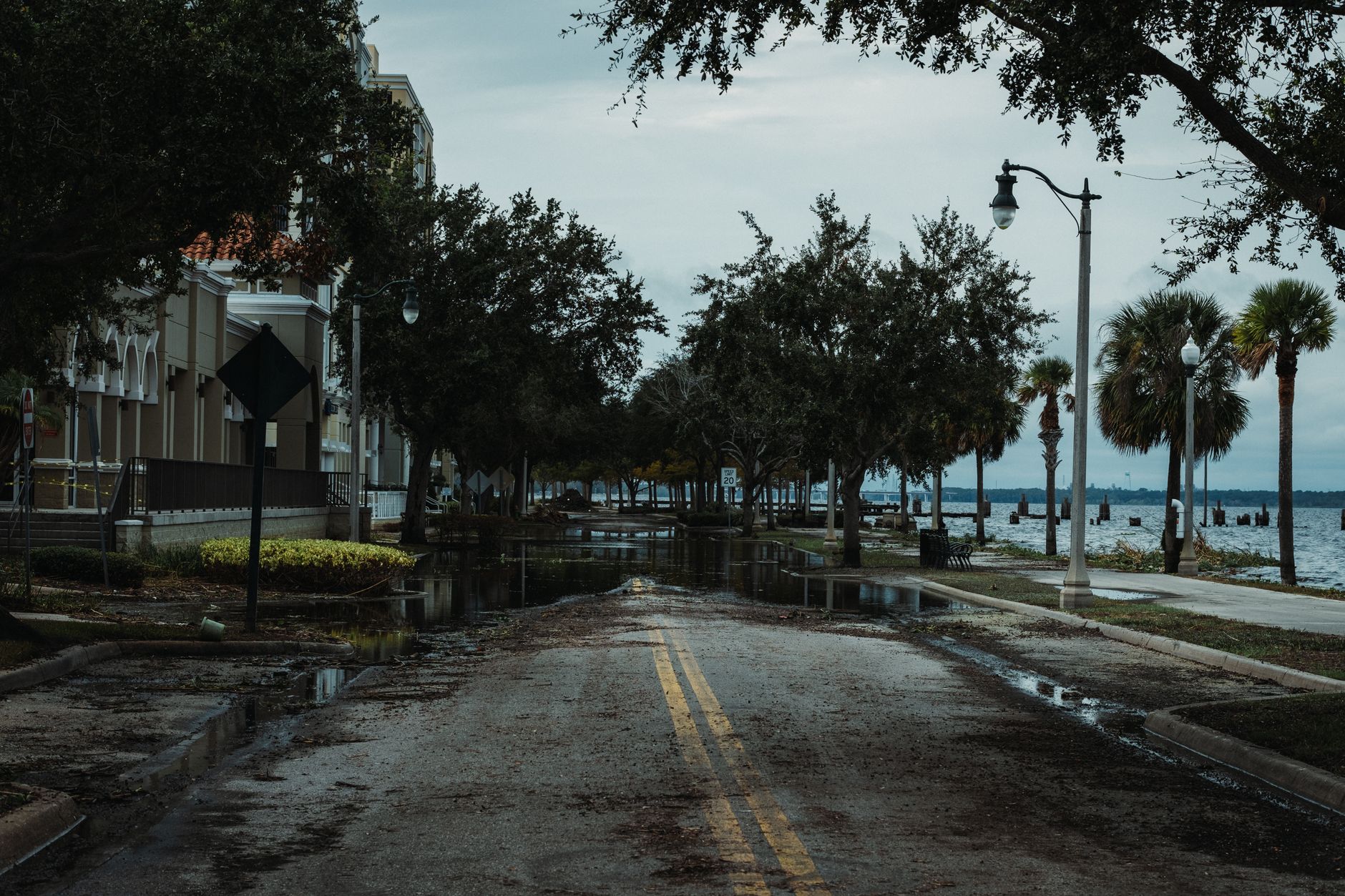
State-level emergency declarations have also been broadened to prepare infrastructure and emergency services. Georgia Governor Brian Kemp declared a state of emergency for all 159 counties in the state on Thursday. The declaration allows for the mobilization of state resources and has prompted several metro Atlanta event organizers to announce closures and schedule changes. Similarly, Alabama Governor Kay Ivey declared states of emergency for dozens of counties, acknowledging the threat of heavy rain, gusty winds, and localized flash flooding that is expected to intensify heading into the weekend.
The distinction between the storm’s current intensity and its projected landfall strength is critical for public safety planning. A Category 2 hurricane, while slightly less intense than a Category 3, still poses severe threats. Storms of this magnitude are capable of causing significant damage to rooftops and buildings, with mobile homes particularly vulnerable to destruction. Additionally, strong winds are expected to bring down numerous trees and signs, creating hazardous conditions on roads and power lines.
Weather conditions on the Gulf Coast were described as deteriorating quickly on Friday as rain arrived ahead of the storm’s core. The rapid onset of precipitation combined with the approaching winds has accelerated the timeline for residents to secure their property and evacuate if necessary. The focus for emergency responders has shifted from preparation to immediate response and enforcement of evacuation zones, particularly in low-lying coastal areas where storm surge is the primary threat.

The trajectory of Isaias highlights the variability of the Atlantic hurricane season. While the storm’s path and intensity are subject to the standard uncertainties of meteorological forecasting, the coordinated response from multiple state governments underscores the severity of the situation. The spread of rain across the eastern US after landfall suggests that the environmental impact will not be limited to the immediate coastal zones, with inland communities potentially facing flooding and disruption in the days following the hurricane’s passage.
As the storm makes landfall, the focus will turn to monitoring the storm’s decay and the subsequent rainfall totals. The coming days will determine the extent of the damage and the scale of the recovery effort required across the affected states.