Chile is situated along the Pacific Ring of Fire, a horseshoe-shaped zone where the majority of the world’s earthquakes and volcanic eruptions occur. In this specific region, the Nazca Plate is subducting beneath the South American Plate. This process, known as subduction, involves the oceanic plate being forced under the continental plate. As the plates move, stress accumulates along the interface. When this stress exceeds the strength of the rock, it is released suddenly in the form of an earthquake. The magnitude 6 event near Iquique is characteristic of the frequent seismic adjustments that occur as the tectonic plates continue their slow, relentless convergence.
The Iquique region, located in the Atacama Desert, is not only significant for its seismic activity but also for its economic importance as a hub for copper mining and port logistics. The proximity of major infrastructure to active fault lines presents a continuous challenge for urban planning and disaster preparedness. Engineers and city planners in Chile have long emphasized the importance of building codes designed to withstand seismic forces. Reinforced concrete structures and flexible foundation systems are standard in the construction of critical buildings, such as hospitals, schools, and residential complexes, to mitigate the risk of collapse during medium to high-magnitude events.
While a magnitude 6 earthquake is generally considered to cause moderate damage, the actual impact depends on several factors, including the depth of the hypocenter, the local geology, and the quality of existing infrastructure. Shallow earthquakes tend to produce stronger shaking at the surface compared to deeper events. In the case of the Iquique strike, the specific depth and focal mechanism were monitored closely by the National Seismological Center (CSN) in Chile. The rapid dissemination of seismic data allows emergency services and the public to assess the situation and take necessary precautions, such as checking for structural damage or potential aftershocks.
The occurrence of this earthquake also invites scrutiny of the broader climate and environmental context, although seismic activity is driven by tectonic forces rather than climatic changes. However, the resilience of coastal infrastructures is increasingly tested by a combination of natural hazards, including earthquakes, tsunamis, and rising sea levels. Coastal erosion and the stability of port facilities are areas of growing concern for environmental scientists and civil engineers. The interplay between these factors requires integrated risk management strategies that account for both immediate seismic shocks and long-term environmental changes.
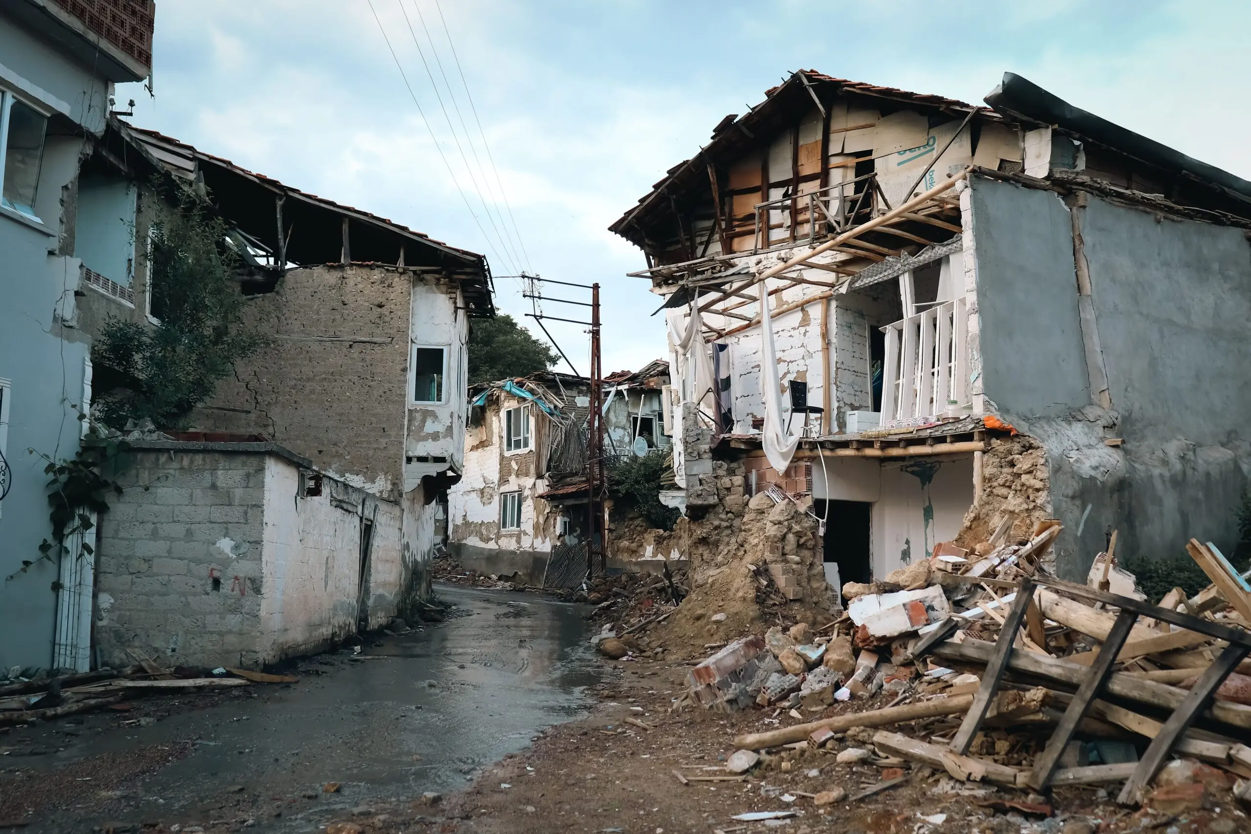
Community preparedness remains a critical component of disaster risk reduction. In Chile, where earthquakes are a regular part of life, public education campaigns focus on the “Drop, Cover, and Hold On” protocol and the importance of having emergency kits. Local authorities in Iquique have utilized the aftermath of the recent tremor to reinforce these messages, encouraging residents to inspect their homes for cracks or other signs of stress and to stay informed through official channels. The collective response to such events is a testament to the society’s adaptation to living in a seismically active zone.
Scientists continue to study the mechanics of the Nazca-South American plate boundary to improve predictive models and understand the coupling of the plates. While precise prediction of earthquakes remains beyond current scientific capability, the analysis of past events helps in identifying high-risk zones. The data from the recent magnitude 6 quake will contribute to this body of knowledge, providing insights into the stress distribution along the fault line. This research is vital for refining building standards and emergency response plans, ensuring that the region is better equipped to handle future seismic events.
The landscape near Iquique, marked by its arid terrain and coastal presence, has witnessed the effects of tectonic shifts over millennia. The recent earthquake is a single data point in a long history of geological activity. As monitoring technologies advance, the ability to detect and analyze these events becomes more precise, offering a clearer picture of the risks facing the community. The focus now shifts to ensuring that the infrastructure and social systems in place can absorb the impact of such natural forces, maintaining safety and continuity in the face of an unpredictable geological environment.