The current season has been marked by extreme frequency: 22 named storms have formed, including 12 hurricanes and nine major hurricanes (Category 3 or higher). This includes a record-tying three Category 5 storms. For context, the all-time records for the Eastern Pacific are 27 named storms (1997), 16 hurricanes (tied across 1990, 1992, 2015, and 2024), and 11 major hurricanes (2015). Historical data from 1991–2020 indicates that a typical year sees only two additional named storms, one of which is a major hurricane, after October 15. The current conditions are far from this baseline, indicating a season of sustained and intense activity.
Hurricane Trudy: Threat to Mexico
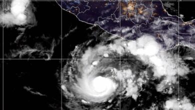
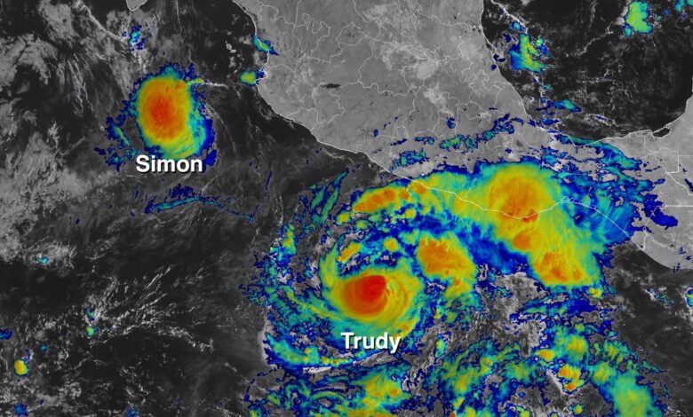
Hurricane Trudy, which achieved Category 1 intensity early Thursday, is currently located a few hundred miles south of the Pacific coast of Mexico. It is already delivering heavy rainfall to the coastal regions between Guerrero and Michoacan, with 2 to 4 inches (50–100 mm) expected. Meteorological conditions are favorable for rapid intensification; the storm features a small, well-formed inner core and is moving over ocean waters with temperatures of 29°C (84°F), low wind shear (5–10 knots), and a highly moist atmosphere.
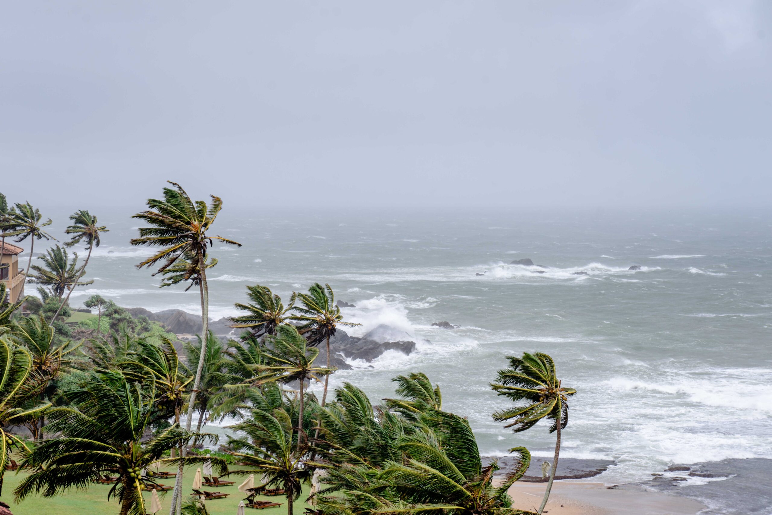
However, the storm’s intensity may be partially limited by upwelling—cooler water brought to the surface—triggered by recent cyclones Simon, Polo, and Rachel. Despite this, the National Hurricane Center (NHC) forecasts that Trudy will rapidly intensify to a Category 3 by Friday and potentially reach Category 4 strength on Saturday. By Sunday, as the storm approaches the coast, high wind shear and dry air are expected to weaken it.
The forecast track for Trudy is strikingly similar to that of Hurricane Simon, which passed within 100 miles (160 km) of the Mexican states of Colima and Jalisco earlier this month. NHC predicts Trudy will follow a comparable path, issuing warnings for 4–8 inches (100–200 mm) of rain, with isolated totals potentially reaching 12 inches (300 mm) in Colima and Jalisco. The impact of the previous storm, Simon, serves as a cautionary precedent: it peaked as a high-end Category 4 with winds of 155 mph (250 km/h) and, although it did not make landfall, its heavy rains resulted in two deaths and forced the evacuation of 5,000 people in Mexico.
Tropical Storm Champi: Threat to the Western Pacific
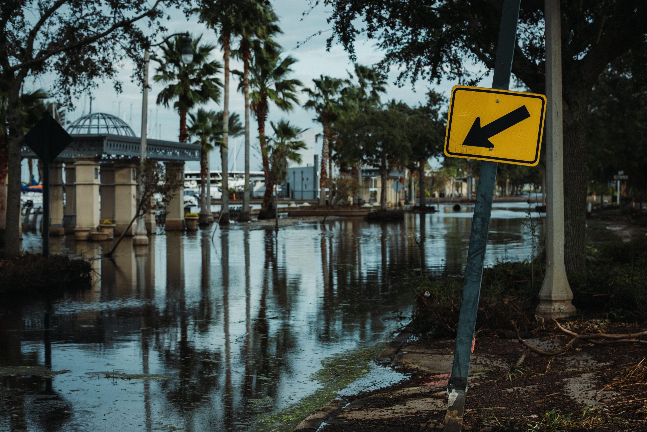
Simultaneously, activity in the Western Pacific is intensifying. Tropical Storm Champi, named after the white champaca flower by Laos, formed north of Micronesia on Thursday morning. Currently disorganized with a tilted vortex due to moderate wind shear (10–15 knots), Champi is forecast to align vertically and rapidly intensify. The Joint Typhoon Warning Center (JTWC) expects Champi to become a Category 2 typhoon with winds of 105 mph (165 km/h) by Saturday evening (UTC), as it passes near Guam and the U.S. Northern Mariana Islands.
Model forecasts indicate a plausible intensity range from a strong tropical storm to a Category 3 hurricane at the time of landfall or close passage. The track uncertainty remains significant, with models placing impact between 35 miles (55 km) south of Guam and 50 miles (85 km) north of it, an area that includes Rota Island. After affecting the Mariana Islands, Champi is projected to encounter favorable conditions for further intensification, including deep warm waters of 29–30°C (84–86°F) and decreasing wind shear. The storm may subsequently impact the Philippines, Taiwan, or Japan late next week.
The dual threat in the Pacific basins underscores the current state of the global tropical cyclone season. While the Atlantic has returned to a “deep El Niño slumber”—a period of suppressed activity associated with El Niño conditions—the Pacific remains active, with the Eastern Pacific setting historical benchmarks for energy and the Western Pacific posing immediate hazardous threats to populated island territories.