
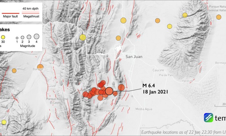
The United States Geological Survey (USGS) and the European-Mediterranean Seismological Centre (EMSC) both registered the mainshock at a magnitude of 6.4. There is a notable discrepancy in the reported depth of the quake between sources. The USGS and EMSC placed the depth at approximately 20 kilometers (12.4 miles). In contrast, Dr. Carlos Costa of the Universidad Nacional de San Luis, writing for *Temblor*, cited a shallower depth of 4 to 5 miles (6–8 kilometers) based on local field assessments. Regardless of the exact depth, the event was designated as “very strong” in terms of intensity by the national seismological survey, INPRES. The epicenter was located approximately 43 to 45 kilometers (27–28 miles) southwest of San Juan city, the provincial capital with a population of roughly 500,000. The quake was widely felt across central-western Argentina, with light shaking reported in cities more than 400 kilometers away, including Córdoba and San Luis.
Immediate reports from the ground indicated that while the shaking was severe, the structural integrity of San Juan’s urban core held. Governor Sergio Uñac stated that no public buildings suffered major structural damage, though some hospitals reported broken glass. Residential damage was noted in the towns of Caucete and Zonda, where four residents were evacuated from their homes. Infrastructure damage was limited to ground failures on the foundations of Route 40 and localized power outages, which authorities reported were gradually being restored. No tsunami warning was issued by the Pacific Tsunami Warning Center, as the event was inland and not associated with seafloor displacement.

The seismic event occurred within a complex tectonic environment known as the Precordillera, a fold and thrust belt formed by the compression of the Earth’s crust during the subduction of the Nazca tectonic plate beneath the South American plate. This region is characterized by interacting thrust faults oriented approximately north-south. However, the moment tensor data reported by international agencies suggested a fault slip orientation with a significant strike-slip component that did not easily align with the known active fault structures in the area. This discrepancy suggests that the event may have nucleated on a fault structure at depth that is not currently well-mapped, complicating the immediate assessment of the specific geological mechanism responsible for the rupture.
In the hours following the mainshock, a series of aftershocks further stressed the region. A magnitude 5.3 aftershock struck shortly after the main event, followed by multiple shocks of magnitude 4.9 and 5.0. Notably, a separate magnitude 5.0 earthquake was recorded approximately 1,000 kilometers to the east near Nueve de Julio; while temporally close, this was likely a distinct event rather than a direct aftershock of the San Juan mainshock due to the vast geographic distance. The USGS issued a yellow alert for shaking-related fatalities, indicating that some casualties were possible and that the impact would be localized. The alert noted that while most of the region’s population resides in structures resistant to seismic shaking, vulnerable construction types such as adobe block and rubble masonry still exist in the area. Historical data from the region indicates that such earthquakes can trigger secondary hazards, including landslides and liquefaction, which may contribute to economic losses.
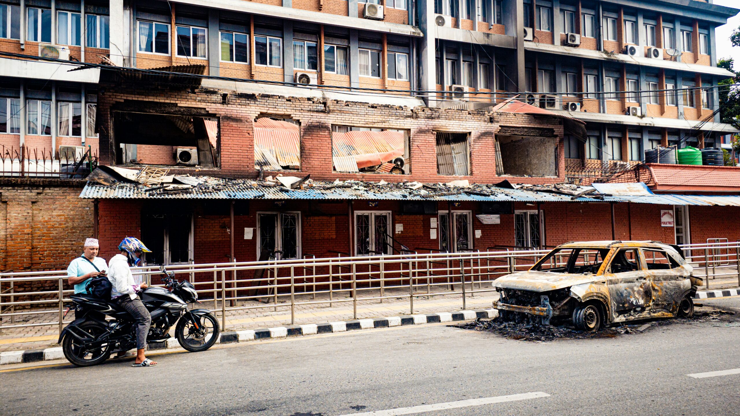
The resilience of San Juan’s infrastructure serves as a critical case study in seismic hazard mitigation. The absence of fatalities, despite the “very strong” intensity and shallow depth, underscores the effectiveness of the building codes and engineering practices implemented in the decades following the 1944 earthquake. However, the event also highlights the persistent risk posed by the complex fault systems of the Andean foreland. As field surveys continue to evaluate the extent of damage and the precise geometry of the ruptured fault, seismologists are tasked with refining the models of stress transmission along mid-crustal faults in this active tectonic zone. The coming weeks will likely see a detailed analysis of the aftershock sequence to determine if the mainshock has released sufficient stress to stabilize the fault system or if further significant shaking remains a possibility.