
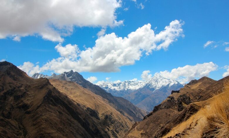
The seismic event serves as a stark reminder of the geological realities facing Peru, a nation situated along the Pacific Ring of Fire, a seismically active belt where the constant movement of tectonic plates frequently triggers earthquakes. However, the specific parameters of this quake offer distinct scientific and environmental insights. The U.S. Geological Survey (USGS) recorded the epicenter at a depth of 108 kilometers, while Peru’s Geophysical Institute (IGP) initially cited a depth of 129 kilometers. This discrepancy in reported depth, along with the magnitude variation between the USGS (6.7) and the German Research Centre for Geosciences (6.8), underscores the complexity of measuring deep-focus seismic events. Regardless of the minor differences in data, the consensus is clear: this was a mid-depth earthquake, a category that often generates less surface destruction than shallow faults but can be felt over vast distances.
The environmental and economic significance of the quake extends beyond the immediate physical shaking. The epicenter is situated in the Junín region, an area home to several mid-size mining operations, including Toromocho, one of Peru’s largest copper mines. Peru ranks as the world’s third-largest copper producer, making the stability of this region a matter of national economic importance. While local council member Vicente Quispe stated that authorities had received no reports of damage and noted that this was the first time an earthquake of this magnitude had been felt in the area, the proximity of such powerful tremors to critical infrastructure remains a documented vulnerability. The mining industry, a key driver of the country’s economy, operates in a landscape where seismic activity is a persistent environmental pressure.
The broader context of this event is defined by a recent increase in seismic activity in the region. Earlier this year, in August, a magnitude 6.7 earthquake in the Peruvian Andes resulted in two injuries and damage to several homes, health centers, and schools. Just a month prior to that, a magnitude 5.5 quake in the same Junín region led to six deaths and 30 injuries. This pattern suggests a period of heightened tectonic stress in the area. The current event, while damaging no structures, adds to a cumulative picture of environmental instability. The absence of a tsunami threat, confirmed by both the US Tsunami Warning System and the IGP, indicates that the energy release was contained within the continental crust rather than being associated with subduction zone interface ruptures that typically generate tsunamis.
Scientific attribution for such events remains rooted in plate tectonics rather than short-term climate fluctuations, though the distinction is important for environmental understanding. The movement of the Nazca Plate beneath the South American Plate is the primary driver of seismicity in Peru. The depth of this particular quake, over 100 kilometers below the surface, means it occurred within the subducting slab. Such deep earthquakes are less likely to cause the kind of catastrophic surface liquefaction or building collapse associated with shallow, high-magnitude events, but they still pose significant risks to underground infrastructure and can trigger secondary hazards such as landslides in unstable Andean terrain, though none were reported in this instance.
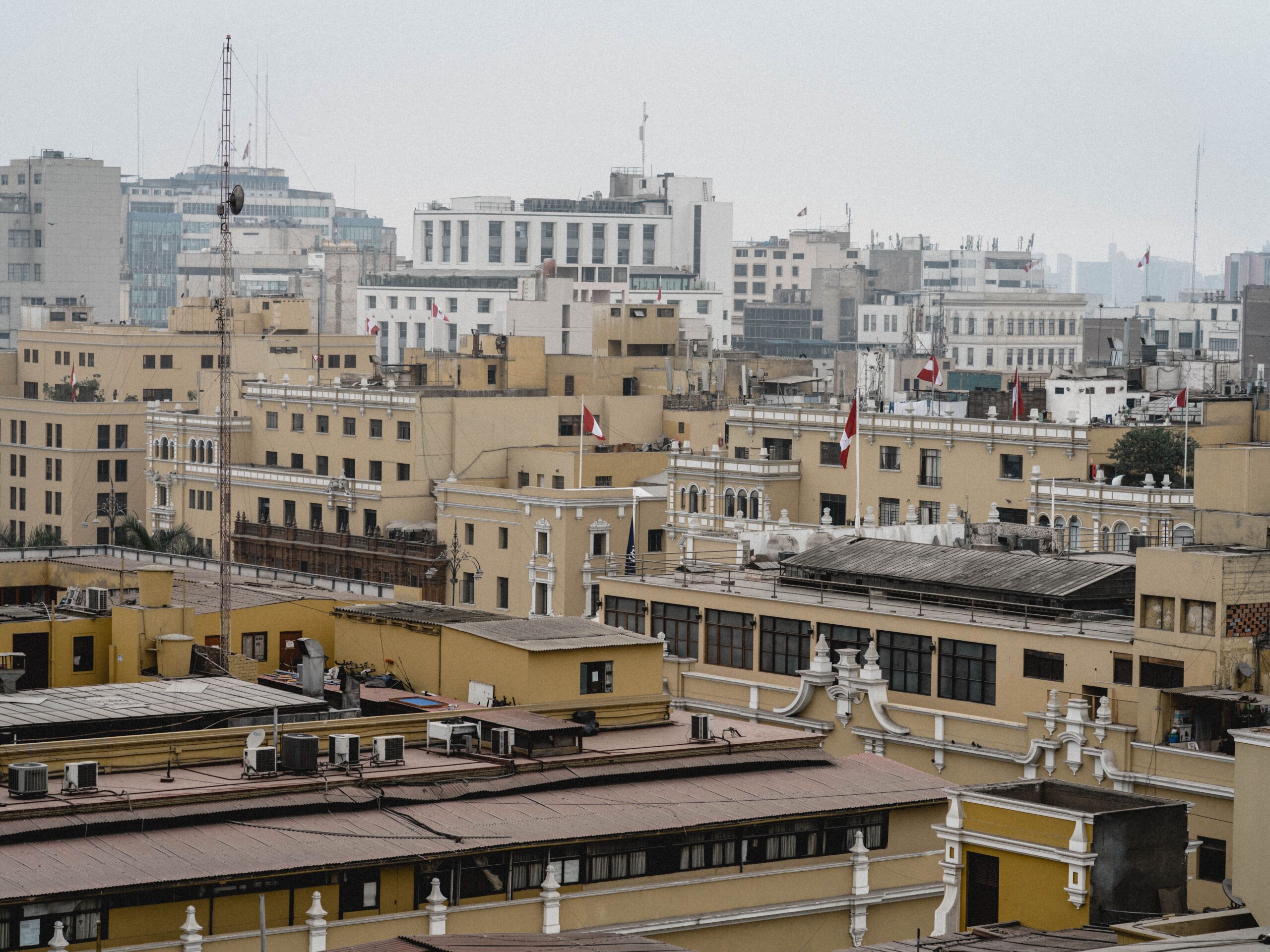
As the immediate shock subsides, the focus shifts to the resilience of the communities and industries in the path of the tremor. The evacuation of residents in Lima and the temporary cessation of activity in the Congress building highlight the effectiveness of early warning protocols and public preparedness. Yet, the underlying tectonic pressure remains unchanged. The Junín region, with its blend of dense urban centers and heavy industrial activity, continues to exist in a state of equilibrium with a volatile geological environment. The next verified development will likely involve a more detailed structural assessment of the mining sites and residential areas in Junín, as well as ongoing monitoring by the IGP to determine if this event is part of a broader aftershock sequence or an isolated rupture.
The landscape of the Andes, silent now after the Friday evening tremor, holds the weight of these deep geological forces. For the miners at Toromocho and the families in Lima, the event was a reminder that the ground beneath them is not static. While no damage was reported this time, the history of the region dictates that vigilance is a permanent necessity in a land shaped by the relentless collision of tectonic plates.




One Comment