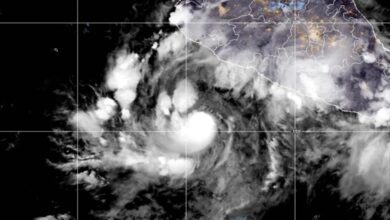
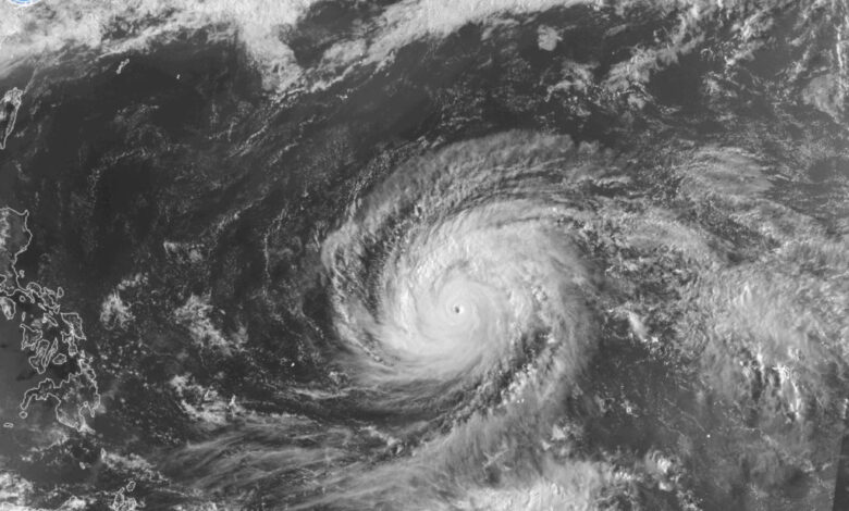
The storm developed close to the International Date Line, the 180th meridian used to distinguish typhoons from hurricanes in the North Pacific. Dolphin is currently the strongest typhoon on record to form in proximity to this line. Its explosive growth was fueled by very warm ocean waters, ranging between 84°F and 86°F (29°C to 30°C), and low wind shear of 5 to 10 knots. By Wednesday night, hurricane-force winds extended approximately 52 miles (83 km) from the eye, while tropical-storm-force winds reached more than 100 miles (160 km) from the center across most quadrants.
Dolphin is being guided by the western periphery of the subtropical ridge centered west of Hawaii. It is moving west-northwest at approximately 13 mph (20 km/h). The Joint Typhoon Warning Center (JTWC) forecasts that the cyclone will maintain its current intensity through the weekend, fluctuating between strong-typhoon and super-typhoon status with sustained winds around 160 mph (260 km/h). Later in the forecast period, a strengthening high-pressure system over the Sea of Japan is expected to become the primary steering mechanism. As the cyclone enters cooler waters and a less favorable environment, it is projected to weaken slowly, potentially dropping to Category 1 or 2 strength by next Tuesday morning.

Although Dolphin poses no immediate threat to land through the weekend, its trajectory remains under close monitoring. The sparsely populated Ogasawara Islands may experience strong typhoon conditions by Monday, while the storm is expected to remain more than 620 miles (1,000 km) south of Tokyo. Long-range models indicate the system will continue on a generally westward track, potentially entering the East China Sea by late next week. Residents of Okinawa Island have been urged to prepare for severe weather ahead of the storm’s approach.
As Dolphin matures, its wind field is expected to expand considerably. By the weekend, tropical-storm-force winds could extend up to 110 miles (177 km) from the center. This expansion, combined with the storm’s potential path near the Nansei Islands and eventually toward eastern China, increases the risk of dangerous storm surge. The storm is the third super typhoon of the western North Pacific season and is consistent with the onset of a strong El Niño event, which typically enhances atmospheric conditions for such intense tropical cyclones in the region.

The forecast from the JTWC calls for the cyclone to maintain significant intensity before gradually weakening as it encounters dry air and cooler temperatures. While the storm’s immediate impact is limited to remote island chains, its long-range track suggests it could affect parts of Japan, China, and Taiwan with strong winds and heavy rainfall in the coming week. Meteorological agencies continue to track the system as it navigates the Pacific, noting that its compact structure and rapid intensification serve as key indicators of the current favorable environmental conditions in the Northwest Pacific basin.