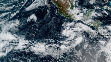
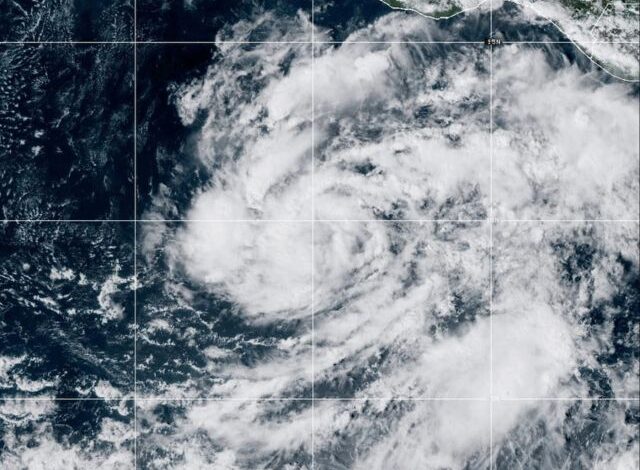
As of 0900 GMT, Vance registered maximum sustained winds of 85 mph (140 kph). The storm was located approximately 440 miles (710 kilometers) south-southwest of Acapulco. Meteorologists indicate that the system is moving toward the north-northwest at a speed of 6 mph (9 kph). This trajectory is expected to remain consistent through the weekend, keeping the storm in the open ocean rather than threatening immediate landfall.
The National Hurricane Center issued a warning regarding the storm’s potential for rapid intensification. Forecasts suggest that Vance could strengthen into a major Category 3 hurricane before the end of the current day. The classification of a “major” hurricane begins at Category 3, indicating significantly higher wind speeds and increased destructive potential should the storm make landfall or impact coastal areas. Currently, the storm remains offshore, with its primary impact limited to oceanic conditions and potential rough seas for maritime activities in the region.
The rapid strengthening of tropical cyclones in the eastern Pacific has become a subject of increased scientific attention, often linked to warmer sea surface temperatures. However, the specific factors driving Vance’s current intensification were not detailed in the initial report. The National Hurricane Center will continue to monitor the storm’s structure and movement, providing updates as the system evolves. Residents and travelers in the Mexico region should remain alert to official advisories, particularly as the storm tracks north-northwest toward the weekend.
At this stage, no landfall is predicted, and the primary concern remains the storm’s strength and its path across the open ocean. The distinction between a Category 1 and a Category 3 hurricane is significant in terms of wind speed and potential damage. With Vance currently at the lower end of the hurricane scale, the potential for it to triple in intensity within 24 hours underscores the volatile nature of the current atmospheric conditions. Further updates are expected as the storm continues its north-northwestward motion.