
The driver of this rapid thermal drop is a massive upper-level blocking ridge building over the North Atlantic and Scandinavia. This high-pressure system has forced a direct atmospheric corridor for meridional flow, allowing dense, polar-origin air to spill deep across Eastern Europe. As this front pushed south, daytime high temperatures in impacted regions plunged by 10 to 15 °C compared to recent seasonal averages. The meteogram charts for Niš, Serbia, and Istanbul, Turkey, both illustrate this sharp decline, with temperatures dropping significantly on Tuesday and Wednesday. This pattern temporarily ended the return of warmth that had characterized the earlier part of the week, marking a distinct shift in the regional climate rhythm.
The geographic reach of this cold intrusion is extensive, spanning from the Baltic countries down to the central Balkans, Romania, and Bulgaria. In low-lying agricultural basins, clear nocturnal skies and lighter winds have supported the formation of first morning frost. Higher elevations, particularly in the Carpathians and possibly the Northern Balkans, have seen falling freezing levels trigger the first notable snowfalls of the autumn. The cold air mass spread across the Balkan Peninsula on Tuesday, reaching Greece and the Aegean Sea on Wednesday before moving into the Black Sea region and the rest of Turkey. In Northern Europe, the impact has been equally severe. In Britain, temperatures fell to -12.5°C overnight, while in south and east Germany, the thermometer plunged well below -10°C early on Tuesday.
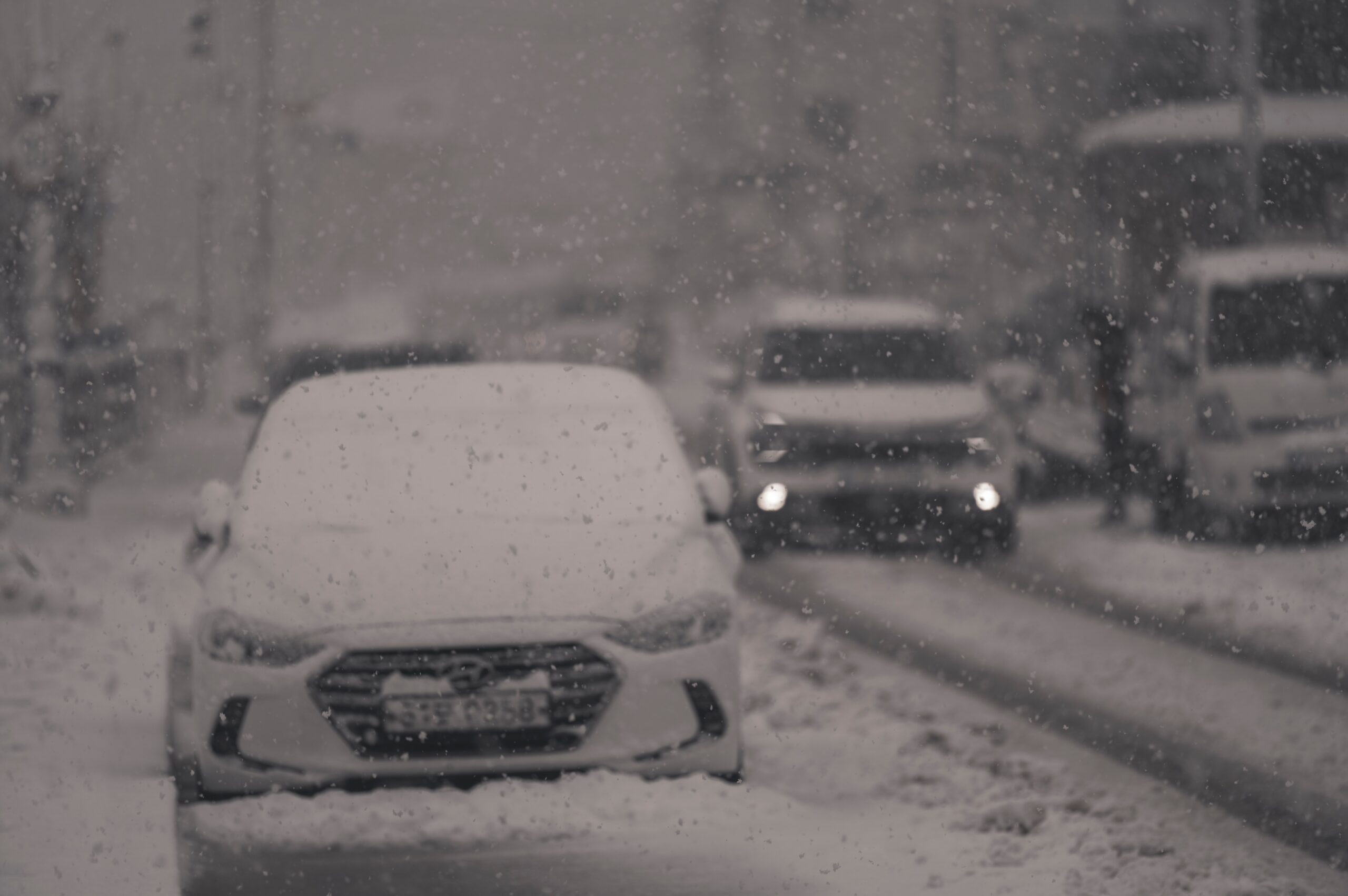
The environmental and infrastructural consequences of these freezing temperatures are disrupting daily life across multiple nations. In the Netherlands, hundreds of flights were cancelled at Amsterdam’s Schiphol airport as staff worked to clear runways and de-ice planes. Rail travellers faced compounded chaos when domestic services were suspended due to an IT outage, coinciding with weather-related delays. Eurostar services to Paris from Amsterdam were either cancelled or running late. The disruption extended to France, where authorities announced that many flights from Paris’s two main airports, Roissy-Charles de Gaulle and Orly, would be cancelled early on Wednesday. It was estimated that 40% of flights at Charles de Gaulle and 25% at Orly would be scrapped to allow ground crews to clear snow and de-ice aircraft.
Urban centers have also struggled to adapt to the sudden drop in temperature. Paris awoke on Tuesday to a blanket of snow on rooftops and monuments. In Rome, incessant rain swollen the banks of the Tiber River, forcing Mayor Roberto Gualtieri to issue an ordinance limiting public access to parks and areas at risk of falling trees and flooding. The severe weather has already claimed structural victims in the Italian capital, with two huge pine trees falling in recent days—one on Via dei Fori Imperiali, close to the Colosseum, and another on Via Appia Nuova. The damp conditions also affected public events; Pope Leo’s Epiphany blessing in St Peter’s Square was partly attended, with only a few thousand people crowding under umbrellas as the rain continued.
In Italy, lowland areas in the north have fallen below freezing, with snow expected in medium- to low-altitude regions of Emilia-Romagna, Marche, and Tuscena. Meanwhile, central and southern Italy have experienced mild winds bringing heavy rain. The contrast between the freezing north and the rainy south underscores the complexity of the current weather pattern. German meteorologists have forecast a storm for Friday, with heavy snowfall expected in the north and east, suggesting that the atmospheric instability may persist into the later part of the week.

While the immediate fatalities in France and Bosnia highlight the dangers of icy conditions on roads and the fragility of snow-laden trees, the broader significance lies in the scale of the disruption. The cold intrusion, though expected to last only through mid-week, represents a significant thermal anomaly for the second half of September. The convergence of a blocking high in the west and a spreading wave in the east created a perfect setup for this meridional flow, delivering Arctic air to regions unprepared for such early winter conditions. As the air mass settles, the focus shifts to the resilience of infrastructure and the public’s ability to navigate a landscape transformed by ice and snow.
The next verified development will be the continuation of the cold front into Turkey and the Black Sea region, as well as the forecasted storm in Germany. For now, the landscape is defined by the silence of snow-covered monuments and the urgency of ground crews clearing runways, a stark reminder of nature’s capacity to disrupt human systems with sudden, cold precision.