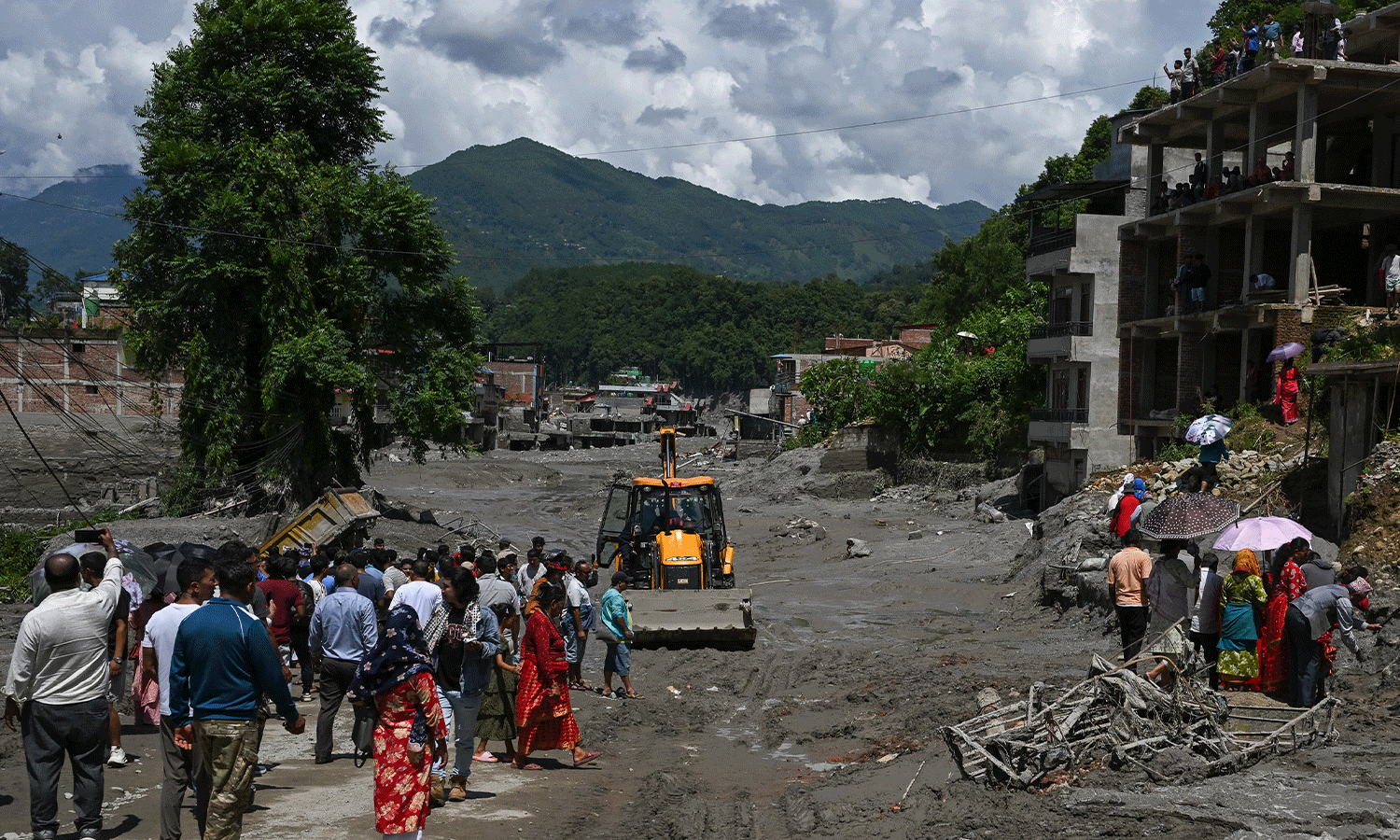
The warnings distinguish between immediate hazards and broader systemic risks. In KwaZulu-Natal, the Level 2 warning covers a wide geographic area, including the eThekwini, Big Five Hlabisa, Dr Nkosazana Dlamini Zuma, Mkhambathini, Impendle, Ingwe, KwaDukuza, Mandeni, Mpofana, Ndwedwe, Nkandla, Nquthu, Richmond, Mfolozi, Msinga, Mthonjaneni, Mtubatuba, Umdoni, Umlalazi, Msunduzi, Ubuhlebezwe, Ulundi, uMhlathuze, uMngeni, uMshwathi, uMvoti, and uMzumbe municipalities. SAWS noted that while severe storms are expected across most of the province, specific areas such as the uMkhanyakude District Municipality and parts of the east are forecast to experience isolated to scattered showers, with some thunderstorms becoming severe except in designated lower-risk zones.
The primary hazards identified include heavy downpours, damaging winds, hail, and excessive lightning. SAWS explicitly warned that these conditions could result in the localized flooding of roads, bridges, and low-lying areas. The slow-moving nature of the storms is a critical factor in this assessment, as it allows for the accumulation of rainfall over a specific area, increasing the risk of flash flooding and the potential formation of sinkholes. Consequently, motorists have been urged to avoid travelling on bridges and roads in low-lying areas, where the risk of hazardous driving conditions, slippery roads, and poor visibility is elevated.
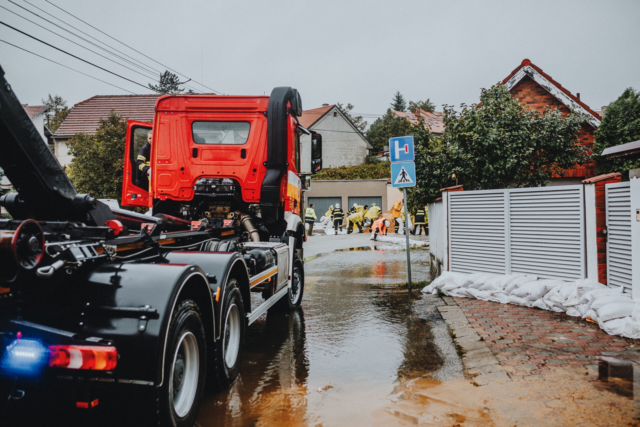
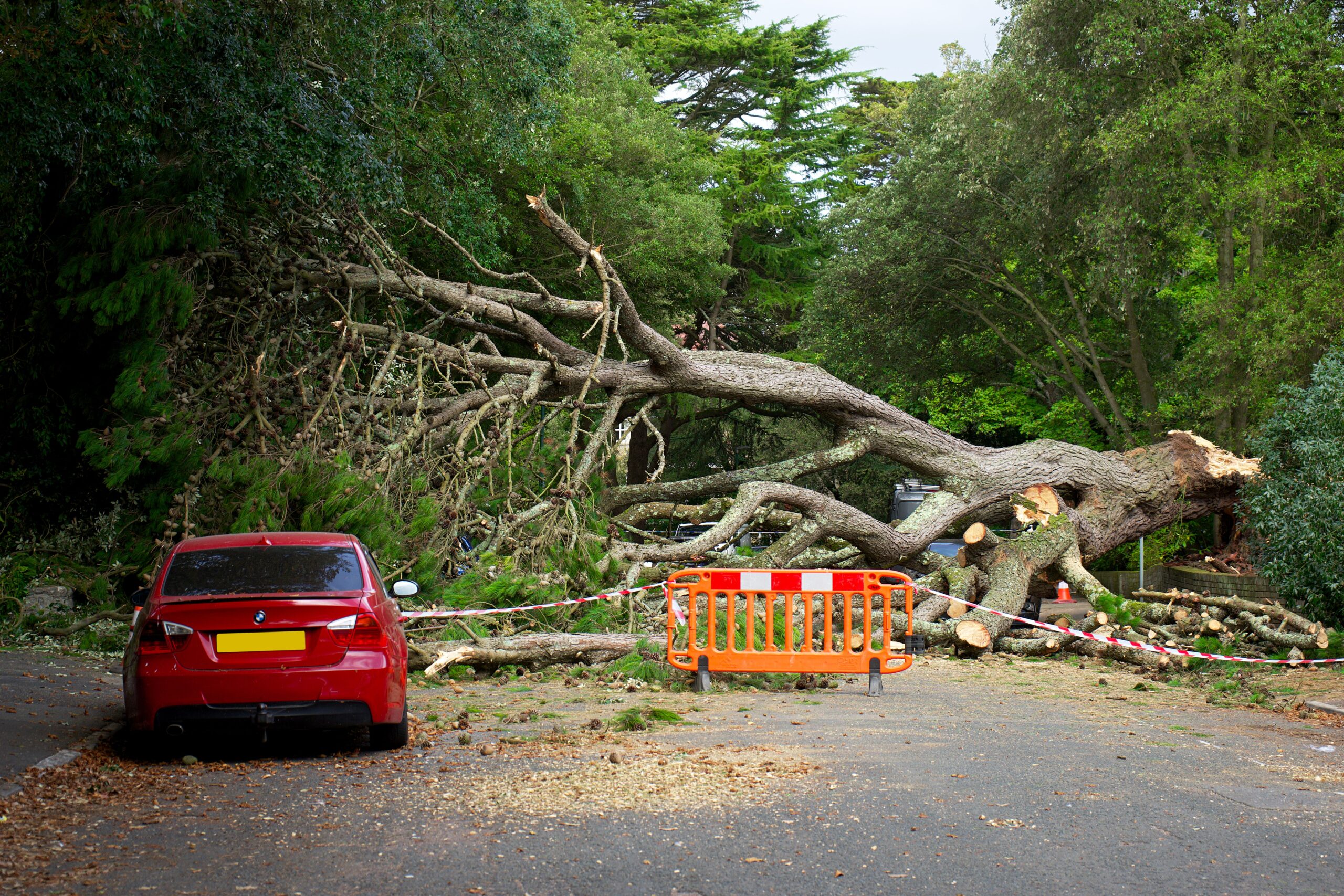
Beyond the immediate threat to transportation, the service highlighted the potential for damage to infrastructure and settlements, particularly informal settlements which are often more vulnerable to structural collapse or water ingress during severe weather events. The warnings extend to the protection of livelihoods, urging residents to move vehicles and livestock to safe, sheltered areas to protect them from hail and flying debris. SAWS also cautioned that such weather conditions may cause disruption to municipal and other essential services, including education, health, communication, and power supply.
In the Northern Cape, the warning specifically targets the Karoo Hoogland District, where the slow-moving storms are expected to produce large amounts of small hail and localized damage to infrastructure. Similarly, in Gauteng, Limpopo, and the Lowveld of Mpumalanga, severe thunderstorms are expected to cause strong, damaging winds that could affect property and vehicles. A separate Yellow Level 1 warning for damaging winds has been issued for the western parts of the Free State and the extreme eastern parts of the Northern Cape, indicating a slightly lower but still significant risk of wind-related damage.
While the focus is on the severe thunderstorms, SAWS also maintained an extremely high fire danger warning for the Nama Khoi area in the Northern Cape. This dual warning highlights the complex and sometimes contradictory nature of extreme weather events in the region, where intense rainfall and thunderstorms can coexist with or be followed by conditions conducive to rapid fire spread in other areas. The weather service advised residents to avoid outdoor activities during the thunderstorms due to the risk of injury or fatality from lightning, hail, and flooding.
The broader forecast for the affected regions indicates a transition in weather patterns. KwaZulu-Natal is expected to experience cloudy conditions and morning fog over the southern and extreme western interior, becoming partly cloudy and warm elsewhere. In the Eastern Cape, the eastern half is forecast to be partly cloudy in the north, while the rest of the region will be cloudy and cool, turning cold in some areas. Rain is also expected along parts of the eastern seaboard and the Lesotho border, with scattered showers and thundershowers forecast in the interior and northern regions.
These warnings underscore the increasing need for robust infrastructure and community preparedness in the face of volatile weather systems. The specific identification of municipalities and districts allows for targeted emergency response and public communication. As the slow-moving trough persists, the risk of localized flooding remains a significant concern, requiring continuous monitoring by both the SAWS and local disaster management centers. The distinction between the Level 2 severe thunderstorm warnings and the Level 1 damaging wind warnings reflects the varying intensity and specific hazards present in different geographic locations across the country.