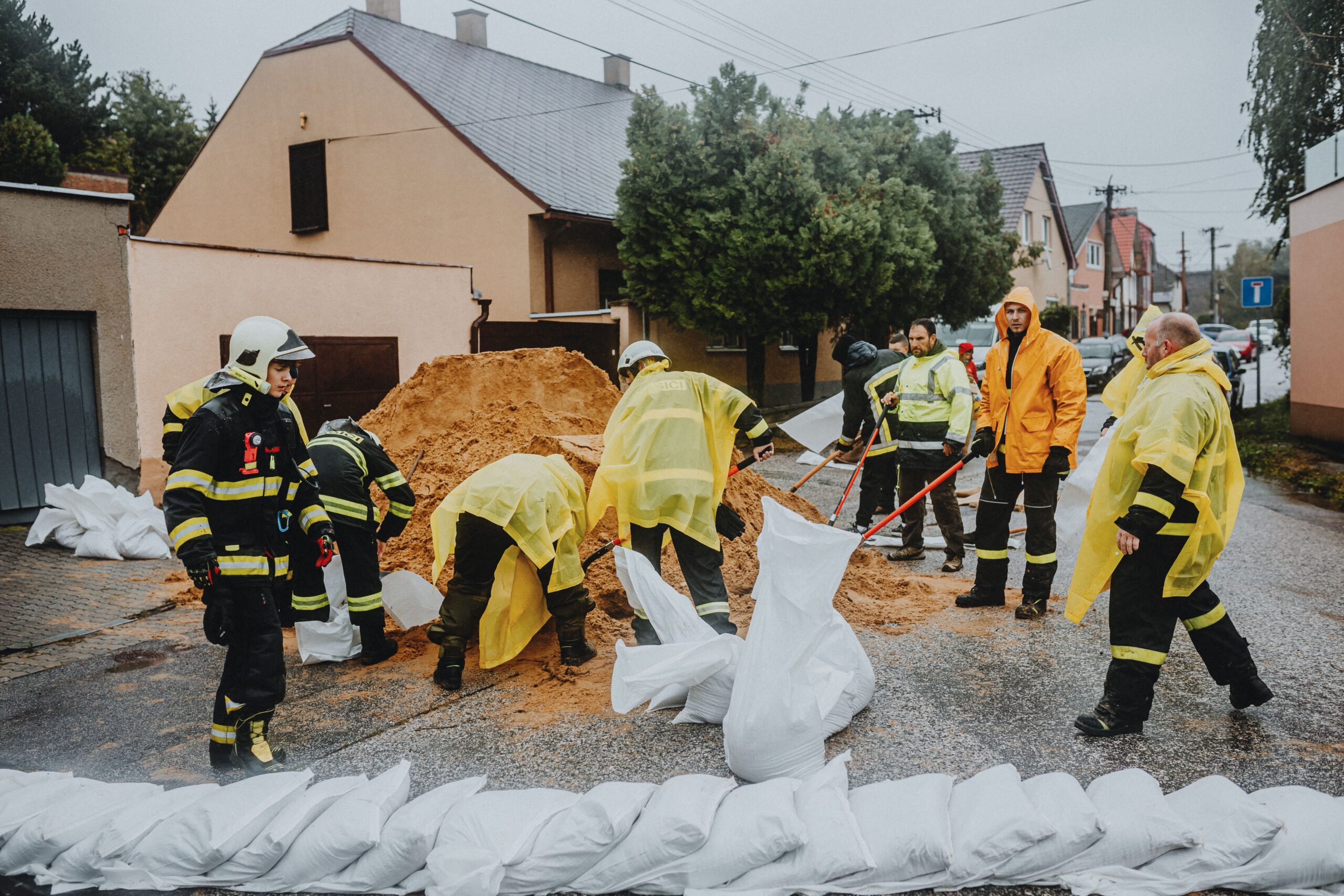
The environmental impact was immediate and severe. In parts of northern Vancouver Island, the drenching rain was sufficient to trigger evacuations and a state of local emergency. The sheer volume of water posed a significant threat to infrastructure and safety, with forecasts indicating that parts of Vancouver Island could receive between 400 and 600 millimetres of rain over the coming days. This level of precipitation is well above average and aligns with the broader forecast provided by Madryga, who noted that computer weather models predicted total rainfall for the week to be between 250 and 600 millimetres on west Vancouver Island, and between 100 and 300 millimetres in the Lower Mainland.
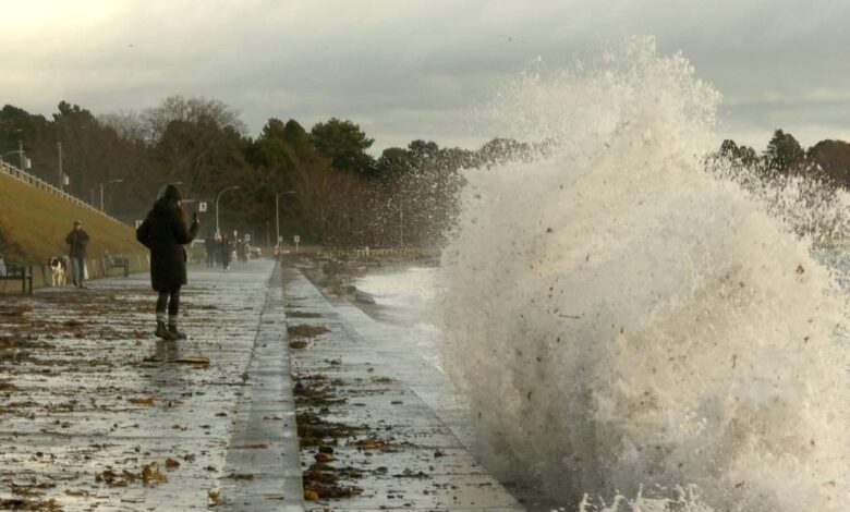
The physical forces of the storm—high winds and rough seas—disrupted critical transportation and power networks. BC Ferries cancelled sailings between Horseshoe Bay and Departure Bay into the early afternoon, as well as routes between Tsawwassen and Duke Point. Passengers were advised to monitor the company’s website for updates, underscoring the logistical challenges posed by the maritime conditions. Simultaneously, thousands of BC Hydro customers in the Lower Mainland, Sunshine Coast, northern Vancouver Island, and parts of southern Vancouver Island were left without power. The combination of blustery winds and saturated ground exacerbated the impact, turning routine weather patterns into a significant operational crisis for utilities and transport services.
While the immediate focus remains on the Pacific Northwest, the atmospheric dynamics driving these storms are part of a larger pattern affecting the West Coast. According to the National Weather Service, an atmospheric river continues to present a “slight risk” of bringing heavy rainfall to Southern California by mid-November. The NWS forecast indicates a 20 to 40 percent chance of heavy rain and high winds impacting the region, including Los Angeles, between November 11 and November 17. This trajectory suggests that the same type of moisture-laden weather system currently battering British Columbia may shift southward, posing potential risks to California’s infrastructure and fire-scarred landscapes.
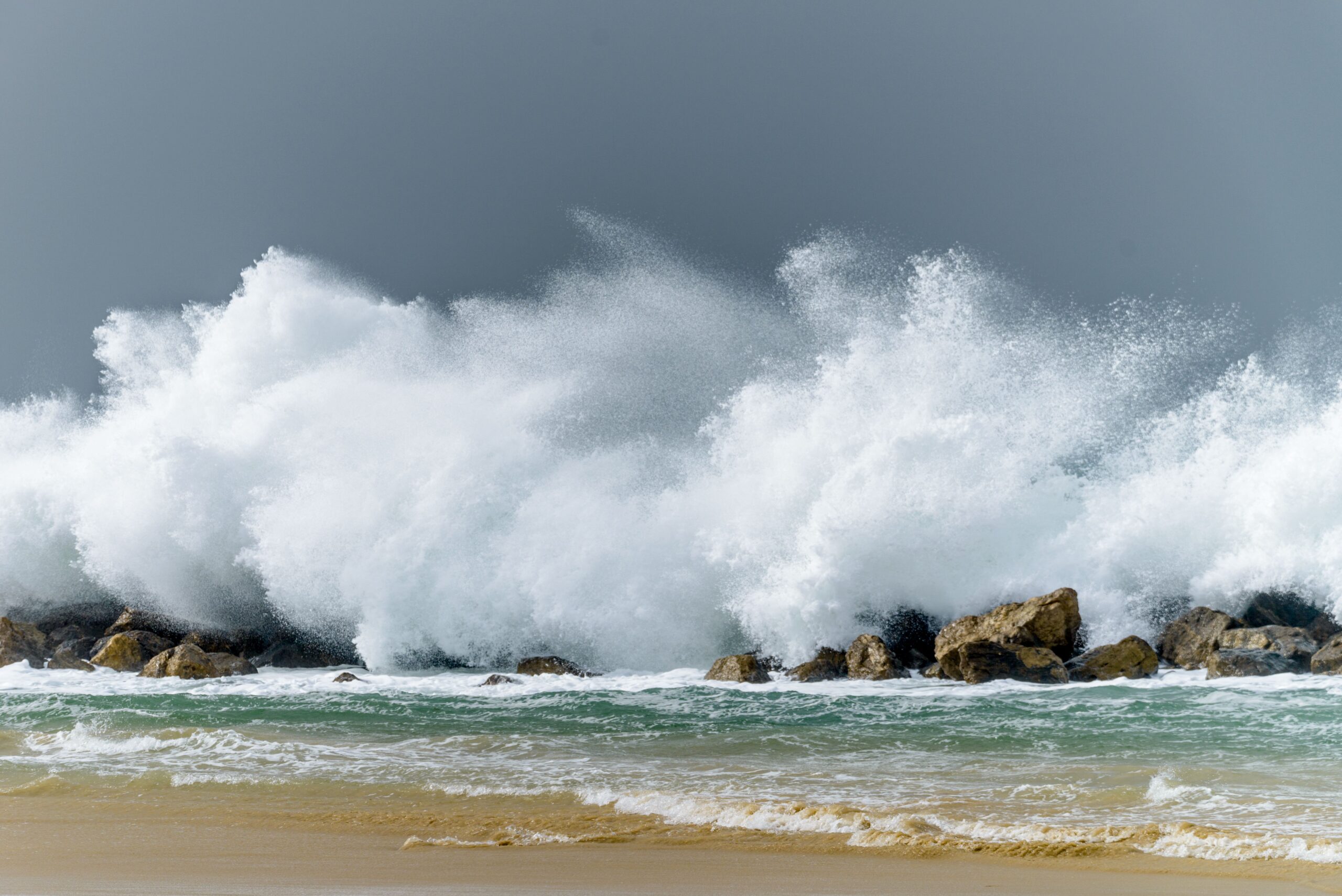
The distinction between the local emergency response in B.C. and the probabilistic forecasts for California highlights the different stages of these weather events. In B.C., the impacts are documented and active: declared emergencies, ordered evacuations, and measured rainfall totals that are straining local capacity. In contrast, the Southern California situation remains in the realm of probability, with the NWS providing a range of likelihoods rather than concrete impacts. However, the shared mechanism—an atmospheric river—connects these two regions, demonstrating how weather systems in the North Pacific can deliver extreme precipitation across a wide geographic corridor.
For the communities in B.C., the immediate challenge is managing the aftermath of the initial storm while preparing for the subsequent systems. The declaration of a local emergency in northern Vancouver Island signals that the rainfall has exceeded the capacity of standard response measures. The specific rainfall projections, which vary between 100 and 600 millimetres depending on the location within the province, indicate a highly uneven distribution of impact. Areas like the Lower Mainland, expecting 100 to 300 millimetres, face significant flooding risks, while the western islands, potentially receiving up to 600 millimetres, are at higher risk of landslides and hydrological overflow.
As the second storm approaches later on Saturday night, the cumulative effect of the rainfall becomes a critical factor. Soils that have already been saturated by the first system will have reduced capacity to absorb additional water, increasing the likelihood of surface runoff and flooding. The coordination between Environment Canada, local emergency services, and utility providers is essential to mitigate these risks. The cancellation of ferry services and the widespread power outages illustrate the fragility of coastal infrastructure in the face of such intense meteorological events.
The broader climate context, while implied by the intensity of the stated forecasts, is grounded in the specific data provided by the meteorologists. The use of various computer weather models to derive a range of 250 to 600 millimetres for the week reflects the complexity of predicting atmospheric river events. The uncertainty in these models is a standard feature of severe weather forecasting, particularly for systems that can shift their path or intensity rapidly. For the residents of B.C., the uncertainty is less about whether rain will fall, but about the magnitude of the impact it will have on their homes, roads, and power grids.
As the week progresses, the focus will shift from the immediate emergency response in northern Vancouver Island to the sustained wet conditions expected through the remainder of the week. The transition from a single storm event to a prolonged period of heavy rain changes the nature of the environmental stress. It moves from acute, peak-load challenges to chronic saturation, which requires different adaptation strategies from both municipal authorities and individual residents. The situation serves as a reminder of the power of Pacific weather systems and the importance of preparedness in regions prone to such atmospheric rivers.
The next verified development will hinge on the arrival of the second storm system on Saturday night and the subsequent wet stretch beginning Monday. Meteorological updates will be crucial in determining whether the rainfall totals align with the upper end of the 600-millimetre forecast for west Vancouver Island, which would represent an extreme hydrological event. Meanwhile, monitoring of the atmospheric river’s trajectory toward Southern California will determine if the 20 to 40 percent probability of heavy rain materializes, potentially extending the reach of this weather pattern down the West Coast.