Seismic Parameters and Discrepancies
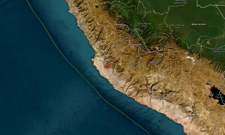
The IGP located the epicenter 41 km (25 miles) south of Ica at a depth of 81 km (50 miles). In contrast, the U.S. Geological Survey (USGS) recorded the event as a magnitude 5.8 earthquake at a shallower depth of 56 km (35 miles). These variations in magnitude and depth are common in real-time seismic monitoring, where different agencies utilize distinct algorithms and data sources. The IGP’s higher magnitude estimate of M6.1 aligns with the reported extent of structural damage, suggesting a significant release of energy sufficient to affect a broad geographic area.
Human Impact and Infrastructure Damage
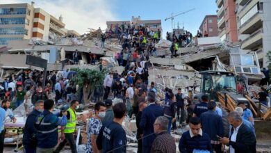
Peru’s National Emergency Operations Center (COEN-INDECI), part of the National Institute of Civil Defense, confirmed that 28 people were injured in the initial aftermath. Damage reports from local authorities and housing ministries outlined specific impacts across several communities. In Pueblo Nuevo, one home was rendered uninhabitable. In Ingenio, four homes were affected, while one home in Huaytará sustained structural damage. Several homes in Sunampe were also impacted, and in the Ica provincial capital, a wall collapsed following the shaking.
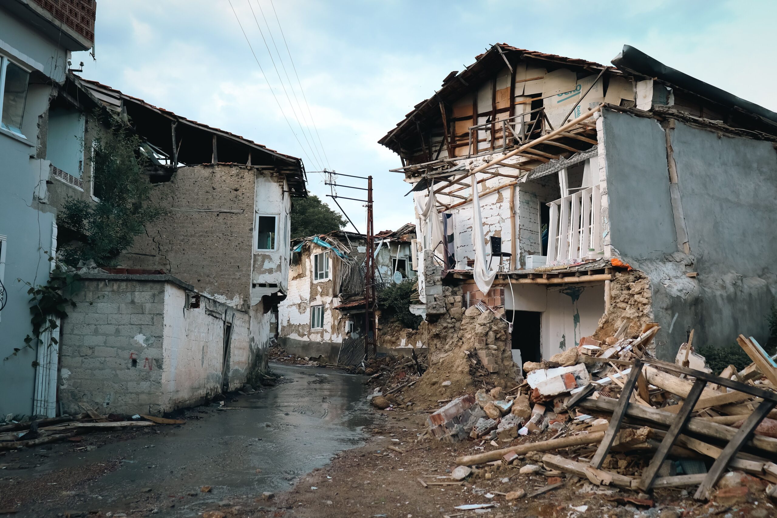
Public services remained largely operational, with no reported interruptions to water, drainage, electricity, telephone, internet, or gas services. However, the Ministry of Health reported that two health establishments and one administrative health office in Ica were affected. In the education sector, four schools reported damage, prompting authorities to order the preventive isolation of compromised rooms while teams conducted damage-and-needs assessments.
Transport and Cultural Heritage Impacts
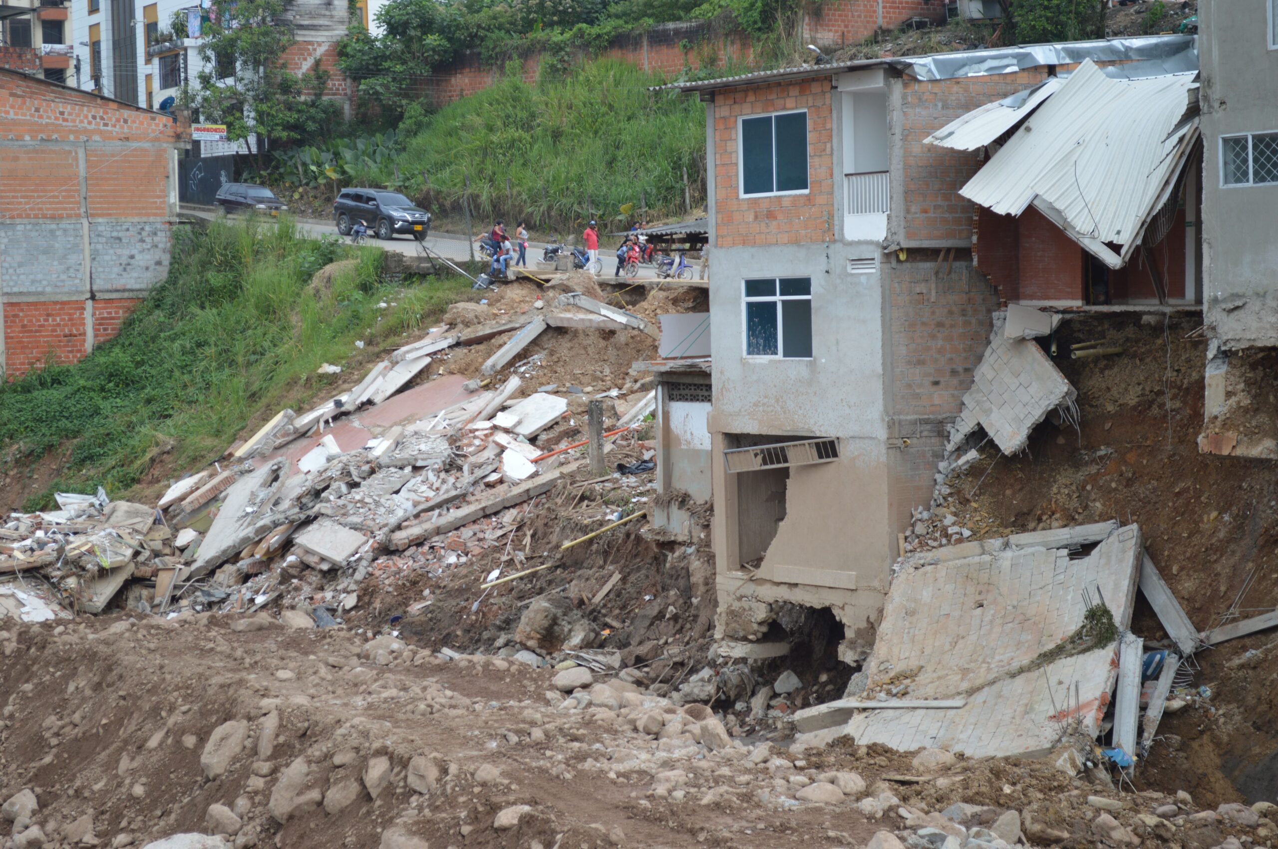
Transport infrastructure faced significant disruptions, particularly on the PE-28A / Vía Los Libertadores corridor. The Ministry of Transport and Communications reported multiple rockfalls affecting the roadway. Traffic was restricted on the San Clemente–Huaytará section at km 41. Another critical section, between San Clemente and Ayacucho at Curva la Z (km 95 in Huaytará), was initially listed as interrupted but was later downgraded to restricted traffic as crews worked to clear debris.
The earthquake also impacted cultural heritage sites. The Ministry of Culture reported cracks in several first-floor rooms of the Ica Regional Museum “Adolfo Bermúdez Jenkins,” primarily in exhibition halls. Ceramic pieces fell during the shaking but showed no visible damage. Inspections of other historic structures, including Ica Cathedral and the church of San José School, found no structural damage, though minimal plaster detachment was observed. Additionally, the Ministry of the Interior noted damage at several sites in Ica, including detached ceiling material at the Technological University of Peru, fallen roof sections at the Megaplaza shopping center, and cracks and broken windows at San Luis Gonzaga National University.
Tectonic Context
Peru’s vulnerability to such events is rooted in its geological setting. The country lies along the eastern margin of the Pacific Ring of Fire, where the Nazca Plate subducts beneath the South American Plate. This tectonic configuration generates frequent seismic activity along and offshore the Peruvian coast. The May 19 event, occurring at intermediate depth, is consistent with the pattern of shallow and intermediate-depth earthquakes that characterize this subduction zone. These events have the capacity to generate strong shaking in populated areas, underscoring the need for continued monitoring and resilient infrastructure development in seismic regions.
As of the latest reports, authorities are focused on assessing the full extent of damage and restoring full access to affected transport corridors. The incident serves as a reminder of the persistent seismic risks facing communities in southern Peru, where the intersection of tectonic activity and urban development requires ongoing vigilance and rapid response capabilities.