
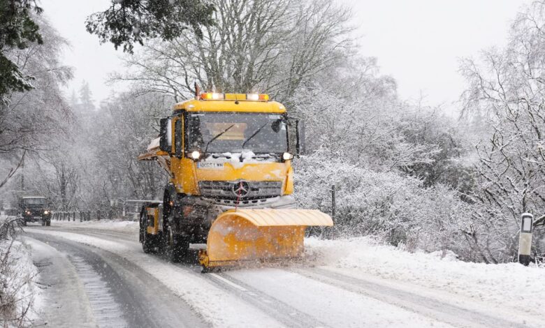
The central development is the arrival of a new cold snap, marked by a sharp drop in temperatures that has prompted official warnings for disruptive ice and snow. Ethan Douglas, a Met Office meteorologist, noted, “There is the potential for some disruptive ice and snow,” underscoring the operational significance of the forecast. The weather front, blowing in from the south-west, is expected to bring below-freezing temperatures to many areas, with overnight lows hovering around -5°C in parts of the countryside across England and Wales. This thermal shift is not merely a seasonal transition but a specific meteorological event driven by the interaction of cold air masses and moisture.
Wales is positioned to experience the most significant impact, potentially marking its first taste of winter snowfall for the season. Forecasts indicate that patches of snow are possible from Monday, November 16, with North Wales set to see the heaviest accumulation. The timeline is specific: snow is forecast to begin falling at around 3 pm, initially affecting areas north of Swansea and around Aberystwyth. By 6 pm, the wintry conditions are expected to spread across parts of North Wales, reaching Gwynedd and rural parts of Denbighshire and Conwy. By 9 pm, Wrexham and Flintshire could also be experiencing snowfall, with some areas facing precipitation rates of more than 4mm per hour. The heaviest snowfall is predicted to move northwards by midnight, potentially sitting over parts of Conwy, Flintshire, and Denbighshire, with implications for travel along the A55.
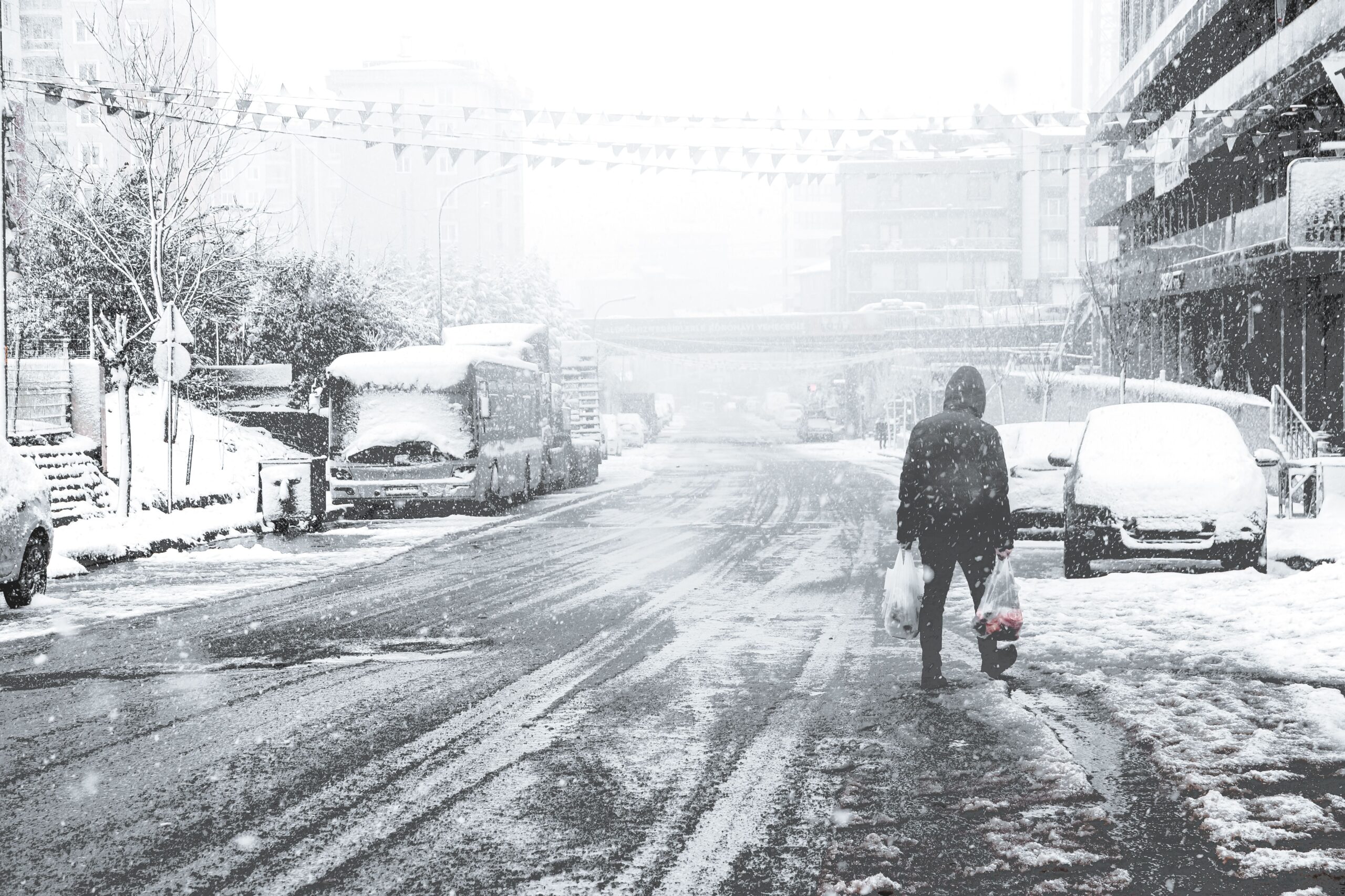
The scientific mechanism behind this forecast relies on two key ingredients: cold air and moisture. The Met Office explains that a northerly airflow can bring colder Arctic air towards the UK, while easterly winds can draw cold continental air from Europe. When this cold air encounters moisture from a weather front or showers developing over the sea, precipitation has a greater chance of falling as snow. However, the distinction between rain, sleet, and snow is delicate. Heavier precipitation can cool the air close to the surface, sometimes allowing snow to reach the ground, whereas lighter snowfall can melt before reaching the surface. This sensitivity means that relatively small changes in temperature and wind direction can determine the type of precipitation, making precise forecasting challenging.
Human adaptation and preparedness are central to managing this weather event. The Met Office has urged the public to prepare for the sharp overnight frost developing across much of England and Wales, suggesting it may be the night to swap to winter bedding. The warning notes that the frost may be less widespread across Scotland and Northern Ireland due to cloudier skies at times. In terms of infrastructure, the forecast highlights potential disruptions to travel, particularly along the A55 in Wales, where snow accumulation could affect road conditions. The transition from rain in the south to snow in the north underscores the regional variability of the climate impact, affecting different economies and communities in distinct ways.

Uncertainties remain in the precise timing and intensity of the snowfall. The Met Office acknowledges that predicting snowfall is particularly challenging due to the narrow margin between precipitation types. Meteorologists combine high-resolution computer models with radar observations and expert judgment to continually refine their forecasts. The agency emphasizes that the distinction between snow falling and snow settling is critical, as even light snow may not accumulate if the ground is not sufficiently cold. This evidentiary discipline ensures that public warnings are based on the highest available accuracy, balancing the risk of over-warning with the necessity of timely alerts.
Over the coming days, the colder conditions are expected to become more widespread as the new week gets underway, with temperatures potentially falling close to freezing in many parts of Wales. The snow is forecast to continue into Tuesday morning, November 17, before conditions begin to clear between 6 am and 9 am. This short-lived but significant cold snap serves as a reminder of the variable nature of winter weather in the UK, where rapid atmospheric changes can bring both disruption and the distinct meteorological phenomenon of snowfall to regions accustomed to milder conditions. The alignment of cold air and moisture, as observed in this event, remains the fundamental driver of such weather patterns.