The immediate challenge stems from a specific meteorological pattern: the interaction between the southern edge of a strengthening continental high-pressure system and the intertropical convergence zone crossing the Mekong Delta. According to the Southern Region Hydrometeorological Center, this combination has triggered widespread thunderstorms, primarily in the late afternoon, evening, and overnight hours. Provinces including Tay Ninh, Dong Thap, An Giang, and Ca Mau are forecast to experience the heaviest rainfall, with isolated locations facing very heavy downpours. While the intensity of moderate to heavy rain is expected to ease temporarily on October 12, meteorologists warn that conditions could intensify again from October 13 as an upper-level easterly wind disturbance moves inland.
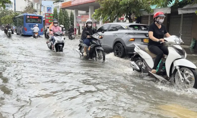
The primary driver of the current crisis, however, is the tidal cycle. Water levels at monitoring stations along rivers, canals, and waterways are rising rapidly, with peaks forecast between October 11 and 13. At the Phu An station, peak tides are predicted to reach 1.69 meters on October 12 and 1.65 meters on October 13. At the Nha Be station, levels are expected to hit 1.76 meters on October 12 and 1.7 meters on October 13. These figures exceed the Level 3 warning threshold, which is set at 1.6 meters. When combined with heavy rainfall, these high tides create a “compound flood” scenario that is significantly more difficult to manage than rain-induced flooding alone, as drainage systems cannot discharge water into the sea against a rising tide.
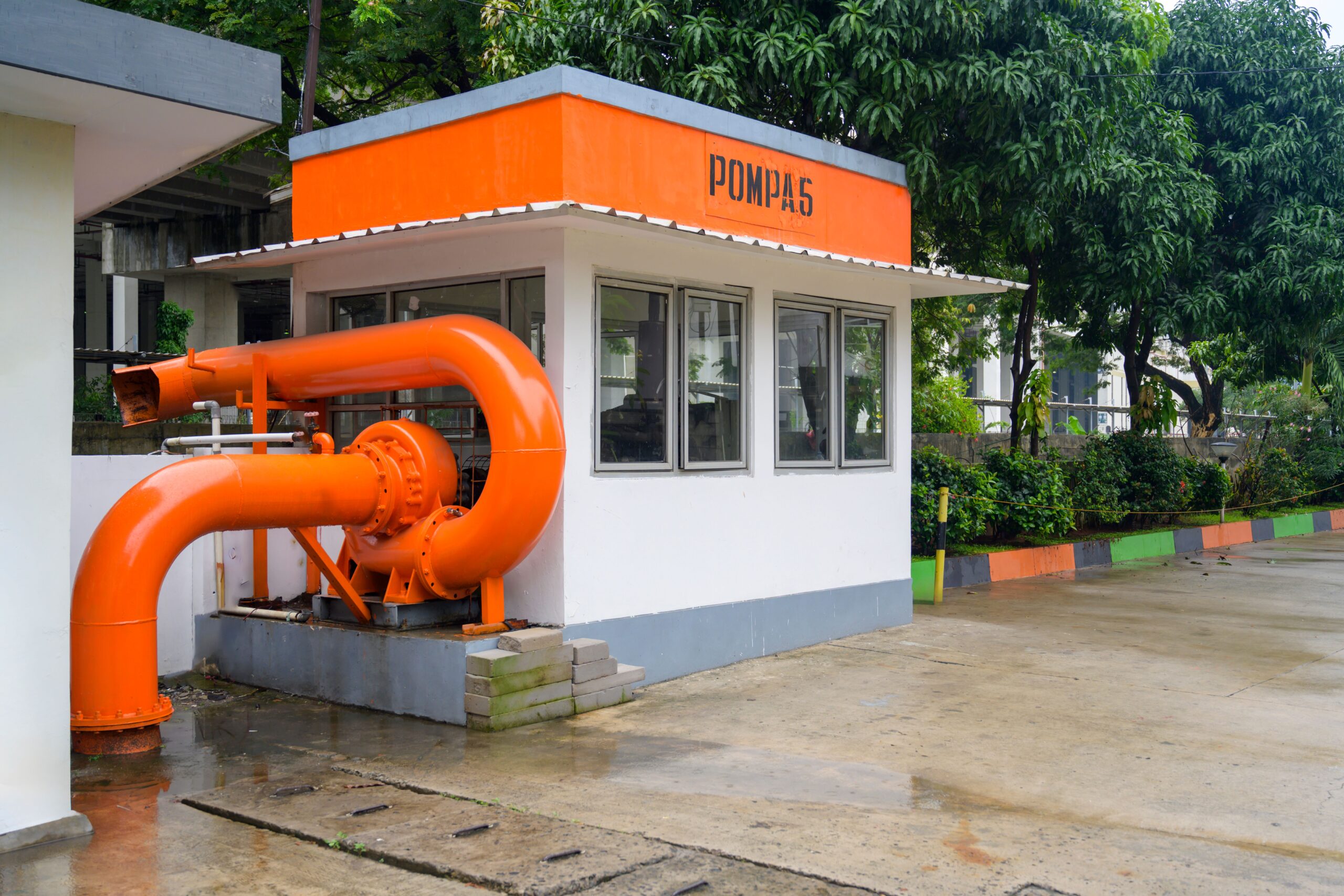
In response, the HCM City Fire Prevention and Fighting Police have positioned mobile pumps at severely flooded locations, including Phan Huy Ích, Nguyễn Văn Khối, and Bà Triệu streets. Simultaneously, traffic police and youth volunteers have formed mobile teams to regulate congestion and ensure road safety. The city is also operating major tide-control gates in the Nhiêu Lộc-Thị Nghè, Rạch Nhảy-Ruột Ngựa, Bình Lợi, and Bình Triệu areas to regulate water levels in canals. Infrastructure management units are running both fixed and mobile pumping systems to drain accumulated water from low-lying neighborhoods and riverside communities.
Authorities have issued strict advisories for residents, urging them to avoid entering deeply flooded areas, landslide-prone zones, or other unsafe locations. Emergency response forces are required to remain on duty around the clock, including weekends and holidays, to respond to incidents. Local governments have been instructed to review evacuation plans for areas at risk of severe tidal flooding and to assess the safety of underground facilities, tunnels, irrigation works, and dykes, particularly those under construction.
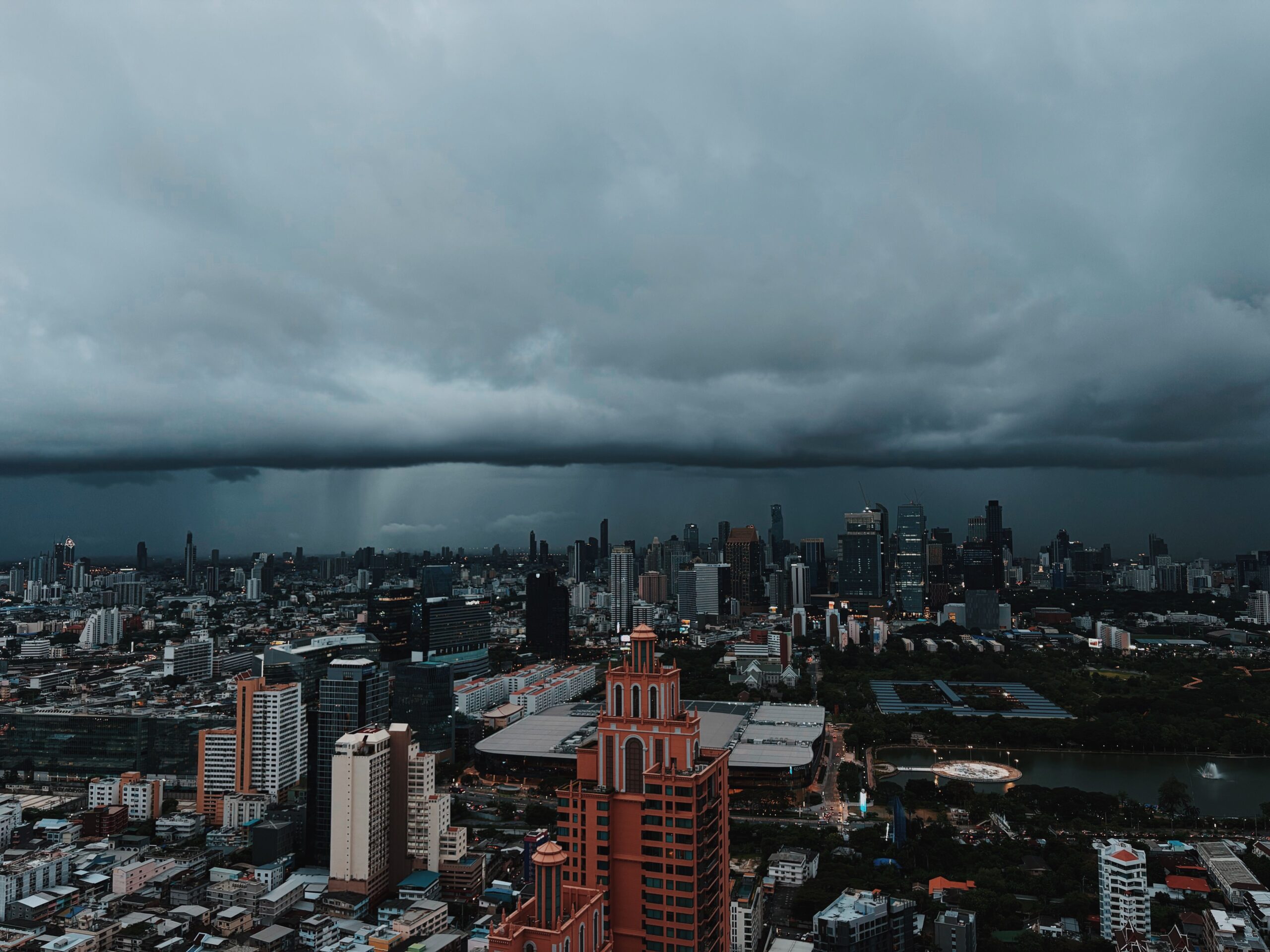
This current episode is part of a broader seasonal pattern that climate change has intensified. While individual weather events such as the current thunderstorms are distinct from long-term climate trends, the frequency and intensity of extreme rainfall and the rise in baseline sea levels have made such compound flooding events more prevalent. The city is increasingly adopting a “live with floods” strategy, focusing on adaptation measures like improved drainage and real-time monitoring rather than solely on prevention, acknowledging that complete elimination of flood risk in a coastal delta city is no longer feasible.
Looking ahead, the Southern Region Hydro-Meteorological Station forecasts that the highest tide of 2026 at the Phú An station could reach 1.7 to 1.75 meters from October 27 to 29. This projection places water levels 0.1 to 0.15 meters above the current Level III warning threshold, suggesting that the period of heightened flood risk may extend into late October. For the next few days, however, the focus remains on managing the immediate impacts of the current high-tide window, with northern Vietnam experiencing stable, dry autumn conditions while central Vietnam faces scattered rain.