

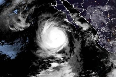
The storm’s movement signifies a critical phase in its lifecycle, shifting from an open-ocean track to a coastal impact scenario. The transition to a Category 3 classification indicates sustained winds severe enough to cause extensive damage to structures and infrastructure upon contact with land. The forecasted landfall on Monday places the Baja California Peninsula in the direct path of the hurricane’s core, where the most hazardous conditions are expected to coincide with the strongest winds and heaviest rainfall.
Category 3 hurricanes are classified by the Saffir-Simpson Hurricane Wind Scale as “major” hurricanes. This category denotes a system capable of producing very dangerous winds that can cause widespread damage to roofs, windows, and doors, as well as significant damage to smaller mobile homes and buildings. The intensity of the storm at the time of observation on Sunday morning highlights the rapidity with which tropical systems can strengthen in favorable atmospheric conditions, necessitating immediate preparation and response efforts in vulnerable coastal zones.
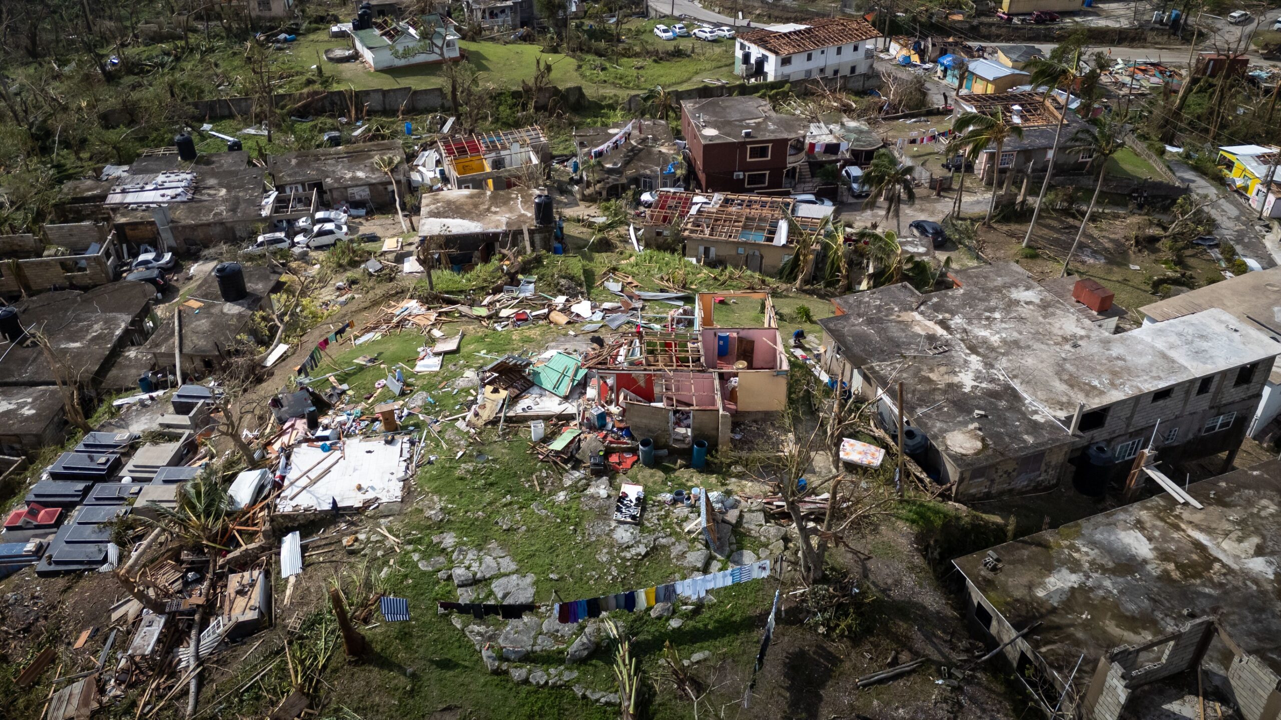
The trajectory of Hurricane Polo reflects the complex interplay of steering currents in the Pacific basin. By turning toward Mexico’s Baja California Peninsula, the storm is aligning with the typical seasonal patterns of eastern Pacific hurricanes that often make landfall in the region during the peak of hurricane season. This specific path underscores the vulnerability of the peninsula to direct hurricane strikes, which can lead to coastal flooding, storm surge, and wind-driven rain that may trigger secondary hazards such as landslides in hilly terrain.
Authorities and residents in the affected areas are advised to monitor official weather updates closely as the storm approaches. The proximity of the landfall on Monday allows for a compressed window for final preparations, including the securing of property, evacuation of low-lying areas, and the stockpiling of essential supplies. The shift in the storm’s direction is a key variable in the current forecast, and continued monitoring of its position and intensity will be crucial for determining the precise impact zones along the peninsula.

The development of Hurricane Polo serves as a reminder of the dynamic nature of tropical cyclones and the importance of timely and accurate forecasting. As the storm continues its approach, the focus remains on the immediate safety of the population in the projected path and the effective coordination of emergency management resources to mitigate the potential impacts of the landfall scheduled for Monday.