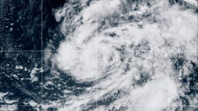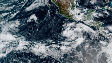
Satellite imagery captured by NASA’s Earth Observatory provides a stark visual record of this environmental shift. Using data from the Operational Land Imager (OLI) sensor on Landsat 8 and the OLI-2 sensor on Landsat 9, scientists compared the landscape of Acapulco before and after the storm. The left image, acquired on September 21, 2023, shows the city and its surrounding mountains covered in lush, green vegetation. The right image, taken on October 31, 2023, reveals a landscape transformed: the dry tropical forests that encircle the city have turned brown, indicating widespread vegetation stress and loss.
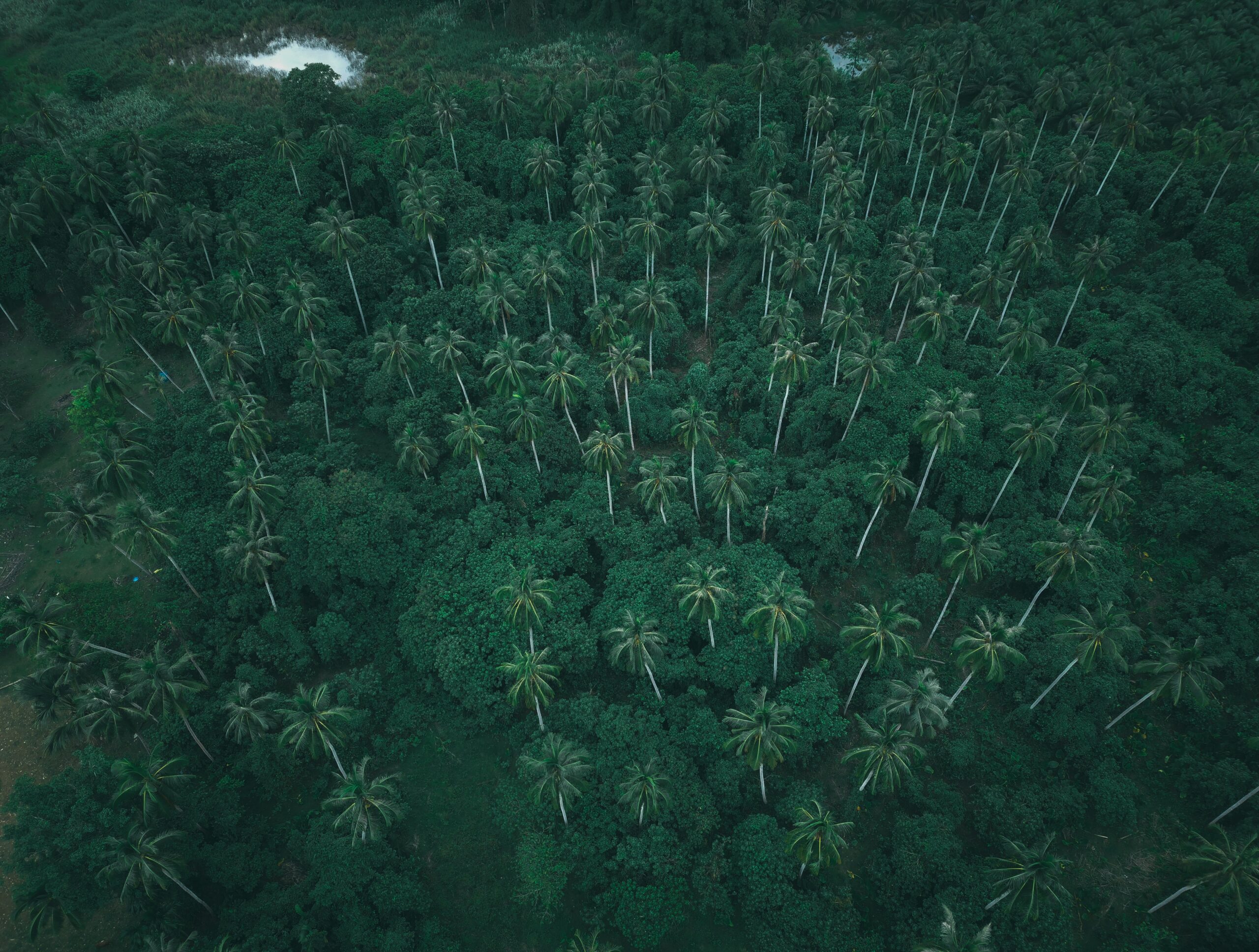
The ecological impact of such high-intensity storms is well-documented in coastal regions of North and Central America. High winds strip leaves from trees and snap branches, while the combination of torrential rain and wind weakens soil structure, making it easier for trees to be uprooted. In the case of Otis, the damage was particularly pronounced on the steep mountains just outside Acapulco. Trees at higher elevations and on steep slopes are more vulnerable because they are more exposed to maximum wind speeds. Sediment runoff from the excess rainfall remained visible in Laguna de Tres Palos almost a week after the storm, illustrating the immediate disruption to the local hydrology.
Dr. Jess Zimmerman, a professor of ecology at the University of Puerto Rico, reviewed the remote sensing data and attributed the observed changes “undoubtedly” to the hurricane. His research, which includes work on Hurricane Maria—a Category 4 storm that hit Puerto Rico in 2017—provides a scientific framework for understanding these events. Analysis of Sentinel-2 images from Maria showed that nearly a quarter of forest biomass was lost, with areas experiencing the highest rainfall suffering the most damage. Zimmerman notes that such data allows scientists to examine how tree composition changes after hurricanes and suggests that increases in the intensity and frequency of tropical cyclones may reduce the ability of tropical forests to sequester carbon.
While the satellite data documents the macro-scale ecological impact, the human experience of the storm has been brought into sharp focus by a new cinematic adaptation. Netflix has co-produced Surviving Hurricane Otis, a film based on a real-life story first reported by EL PAÍS. The movie centers on Marlon Valdez and Jonathan Chico, two sailors who survived the Category 5 winds aboard their boats. The film, directed by Jorge Michel Grau, is a significant production for Mexican cinema, involving 800 people over three years, with 500 dedicated solely to visual effects.
The production faced the technical challenge of simulating a maximum-category hurricane with 170-mile-per-hour winds on a soundstage. To ensure scientific and navigational accuracy, the filmmakers used a graphics schedule detailing the direction of the wind and the rise of sea level at every moment of the hurricane. Marlon and Jonathan, now 27, served as consultants, advising on radio codes, boat handling, and idioms. Their involvement blurred the line between fiction and reality; in the film, they appear on screen communicating with the protagonists via radio, mirroring their actual survival experience. Michel Grau described the project as a way to tell the story of “two ordinary people who face the extraordinary,” noting that the film captures minute-by-minute how the hurricane approached, trapped the sailors, and eventually returned them to shore.
The convergence of satellite evidence and human testimony illustrates the dual nature of extreme weather events: they are both ecological disruptors and profound human crises. The browning of Acapulco’s forests, verified by remote sensing, stands as a measurable indicator of the storm’s power, while the survival of Valdez and Chico highlights the fragility of human life in the face of such forces. Neither the sailors returned to sea after the hurricane; Marlon now lives in Playa del Carmen, a decision that underscores the lasting psychological and physical impact of the event.
As NASA’s Earth Applied Sciences Disasters program continues to post maps and data products on its open-access portal, the scientific community gains further tools to monitor recovery and assess long-term impacts. The uncertainty remains regarding the full extent of carbon sequestration changes in the damaged forests, but the immediate evidence is clear. The landscape near Acapulco has been fundamentally altered, and the data serves as a permanent record of one of the strongest storms in recorded history to hit the Pacific Coast of Mexico.