The storm’s initial impact was most severe in Portugal, where rainfall totals reached 355mm (13.97 inches) in 12 hours on the island of Madeira. At Funchal airport, a wind gust of 84.5mph (136 km/h) was recorded. On the mainland, the system caused widespread flooding in Spain and Portugal, leading to substantial aviation disruptions. In Lisbon, 183 flights were cancelled on Wednesday, representing approximately one-third of the airport’s normal daily traffic. Similar disruptions occurred at Madrid Barajas airport, which reported 155 cancellations. The system then tracked north-eastward into southern France, bringing intense precipitation to the French Riviera.
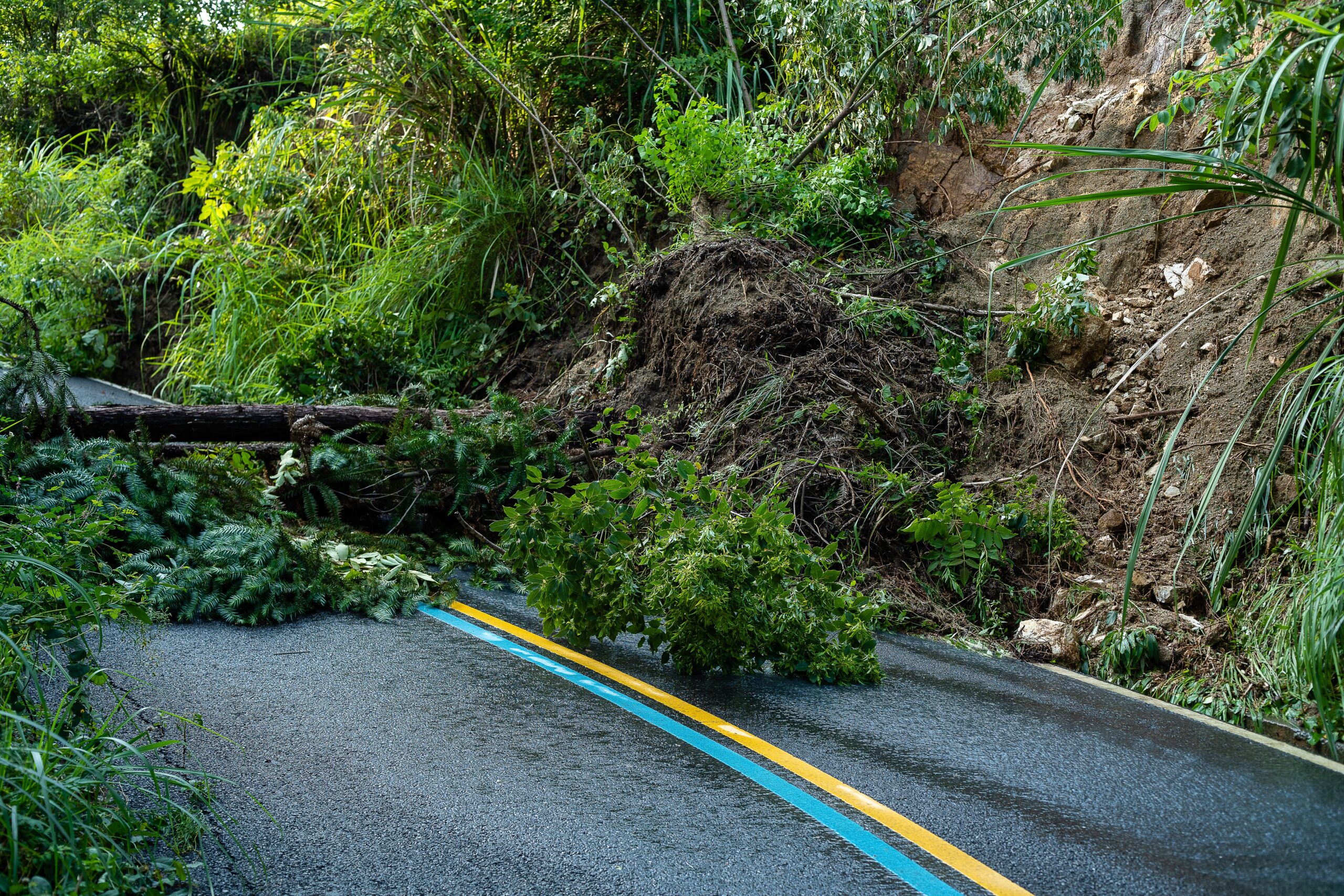
In the Alpes-Maritimes region of France, the heavy rainfall triggered significant geological and hydraulic hazards. A major rockfall occurred near Èze, where substantial sections of rock broke away from the cliff face above the RM6098 road. Large boulders and debris crashed onto the carriageway, damaging a roadside stone parapet overlooking the Mediterranean. The Lower Corniche, a principal coastal route linking Nice, Èze, and Monaco, was closed in both directions from approximately 10:20 am on Thursday, with no confirmed reopening time. Authorities established diversions via Boulevard Édouard VII for traffic approaching from the west and Avenue de Lattre de Tassigny for those from the east. No injuries were reported in connection with this specific incident, though a separate rockfall on the RD50 between Roquebrune and Cap-Martin resulted in a partial road closure.
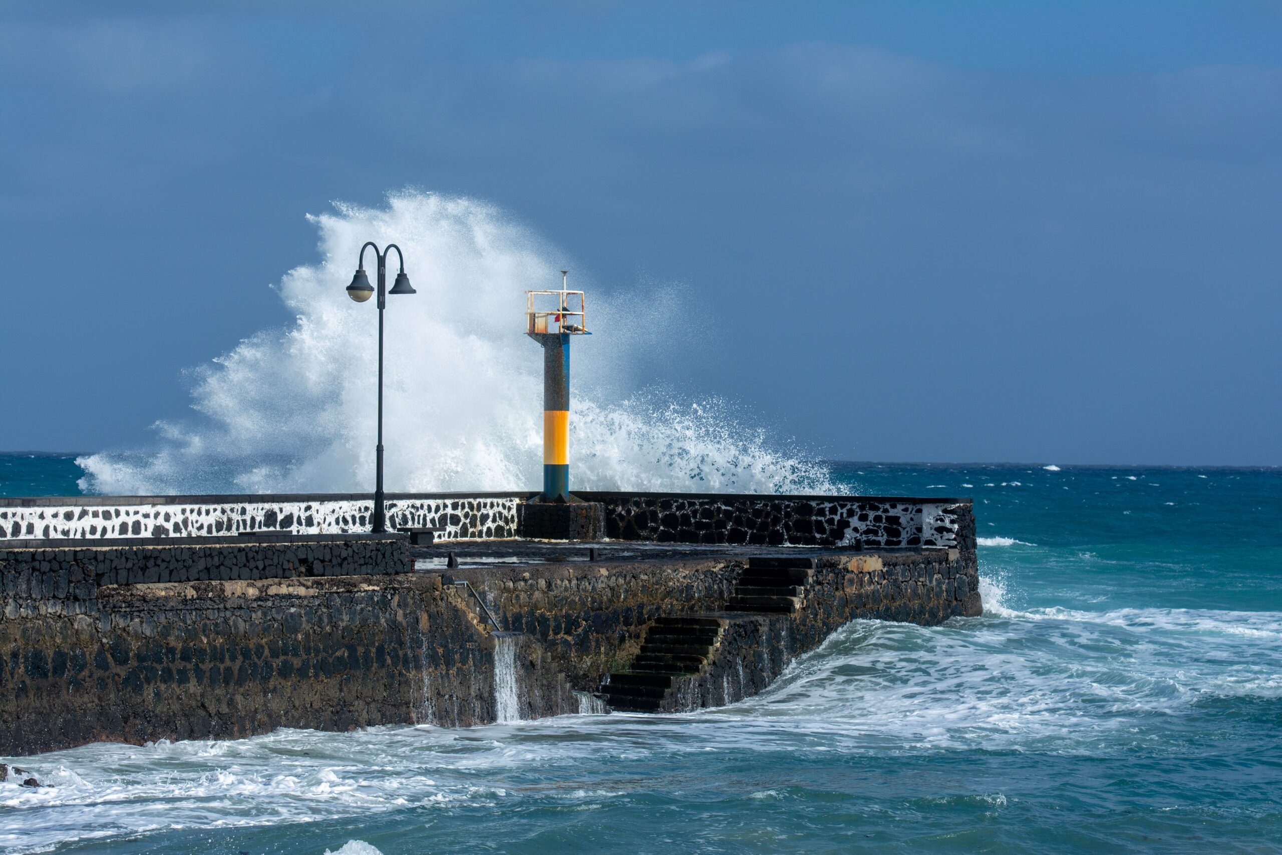
Concurrent with the geological hazards, the region experienced extreme rainfall rates that overwhelmed urban drainage systems. By 1:30 pm on Thursday, Cannes had recorded 123mm of rain, including a peak intensity of 56mm in just two hours. Mandelieu-la-Napoule recorded 116mm, while Antibes received 104mm. In Mandelieu, streets in the town centre were flooded, and rising water levels prompted heightened monitoring of local waterways. Flooding was also reported around Mougins and Saint-Laurent-du-Var, while authorities in Cannes responded to displaced manhole covers caused by the intense runoff. In Menton, the Promenade du Soleil (RD52) was closed shortly before 10:45 am due to waves of two to three metres overtopping the seafront, a closure that remained in effect as dangerous coastal conditions persisted.
Météo-France and local meteorological services had issued yellow weather warnings for rain and flooding ahead of the storm’s arrival, forecasting rainfall totals of 70mm, locally rising to 100mm, along with thunderstorms. The Alpes-Maritimes prefecture also issued a separate coastal flooding warning. While the immediate threat in the French Riviera involves flash flooding and rockslides, the broader meteorological pattern indicates that the system is moving toward northern Italy. The Italian weather service has issued a red rainfall warning, its highest level, for the area extending from Tuscany to Venezia. Latest forecast models indicate an additional 100mm of rain could accumulate widely, with totals close to 200mm likely in more mountainous areas, posing further risks of flooding and landslides in the region.
Simultaneously, unsettled weather conditions have caused significant disruption in British Columbia, Canada, over the last week. Successive rounds of heavy rain and strong winds have led to widespread power outages and geological instability. Between Monday and Friday, severe weather left more than 400,000 customers without power. Conditions continued into the weekend, with further heavy rain leaving an additional 135,000 customers without electricity, alongside downed trees, flooded roads, and landslides. Strong winds were recorded on Sunday, including a gust of 72.1mph (116 km/h) on Herbert Island and 60mph (96 km/h) at Victoria International Airport.
The River Forecast Centre issued flood warnings across British Columbia’s south coast on Wednesday, citing heavy rain and high streamflow that increased the risk of flash flooding and landslides. Multiple stations recorded rainfall totals in excess of 100mm. A further area of low pressure is expected to bring torrential rain and strong winds to the same region over the weekend, with more than 100mm of rain likely across central and southern Vancouver Island and gusts exceeding 60mph. While these events in North America are geographically distinct from the European storm track, they highlight the widespread nature of severe autumn weather affecting coastal regions on both continents.
Forecasters note that the exact path and intensity of Storm Charles remain subject to uncertainty, particularly regarding the transition into the Mediterranean. While the storm is not currently expected to develop into a major Mediterranean cyclone, the combination of saturated ground from previous rainfall and new precipitation poses a significant risk for secondary flooding. Residents in affected areas are advised to monitor official weather warnings, as the system continues to evolve and move further into Italy and the Balkans.