The immediate human cost of the seismic event has been significant. At least 47 people have been killed, and officials warn that the death toll is expected to climb as emergency teams continue search and rescue operations. Lieutenant General Suharyanto, head of Indonesia’s National Disaster Management Agency, reported that the tremor destroyed at least 157 houses and damaged nearly 200 others in Nagekeo regency, the area closest to the epicenter. Approximately 2,000 villagers were forced to flee their homes to temporary shelters. The physical infrastructure of the region has been compromised; landslides have blocked roads and disrupted communication signals in Nagekeo, isolating communities and complicating the deployment of aid.
The geographic complexity of East Nusa Tenggara presents substantial logistical challenges for the response effort. Comprising numerous islands, the region requires multi-modal transportation for emergency logistics. Three helicopters and a rescue vessel have been deployed to assist with support operations and potential evacuations. However, Fathur Rahman, head of the local search and rescue agency in Maumere, noted that teams have yet to reach Nagekeo regency by land. A team is attempting to access the area by ferry, but the extent of the damage remains “emerging,” with northern parts of the island under evacuation orders due to the risk of further aftershocks.

The seismic activity did not end with the initial shock. More than 230 aftershocks occurred on Flores Island throughout the day, the strongest measuring magnitude 6.2. The USGS estimates that more than half a million people on Flores Island experienced very strong shaking, while several million more across the wider region felt moderate to strong tremors. In a separate but related seismic event, a magnitude 6.9 earthquake struck Indonesia’s western Sumatra island thousands of kilometers away later on Saturday. Due to its immense depth of 172.5 kilometers, no casualties or damage were recorded from this second event. Indonesia’s Meteorology, Climatology and Geophysics Agency (BMKG) initially issued a tsunami warning for affected coastlines, urging residents to move to higher ground, though the warning has since been lifted.
These events occur against the backdrop of intense tectonic activity across the broader Indo-Pacific region. Just days prior, strong earthquakes had shaken Panama and Venezuela. In Venezuela, massive earthquakes resulted in at least 32 deaths and 700 injuries. In Panama, a strong quake shook the nation but avoided major destruction. While the specific mechanisms and impacts of these events differ, they collectively illustrate the high seismic volatility characteristic of the Pacific “Ring of Fire,” a horseshoe-shaped zone where numerous tectonic plates meet. Indonesia, a nation of more than 270 million people spread across roughly 17,000 islands, sits squarely within this zone, making it one of the world’s most seismically active countries.
Historical context underscores the severity of the current situation. The same stretch of coastline near Flores was struck by a similarly powerful earthquake in December 1992, which triggered a tsunami that killed more than 2,500 people. The recurrence of such high-magnitude events in the region serves as a stark reminder of the persistent natural hazards faced by coastal and island communities. Local authorities are continuing to monitor the situation, with weather agencies indicating that aftershocks could persist for several days. Residents have been advised to stay away from shores and damaged buildings as the risk of further seismic activity remains elevated.
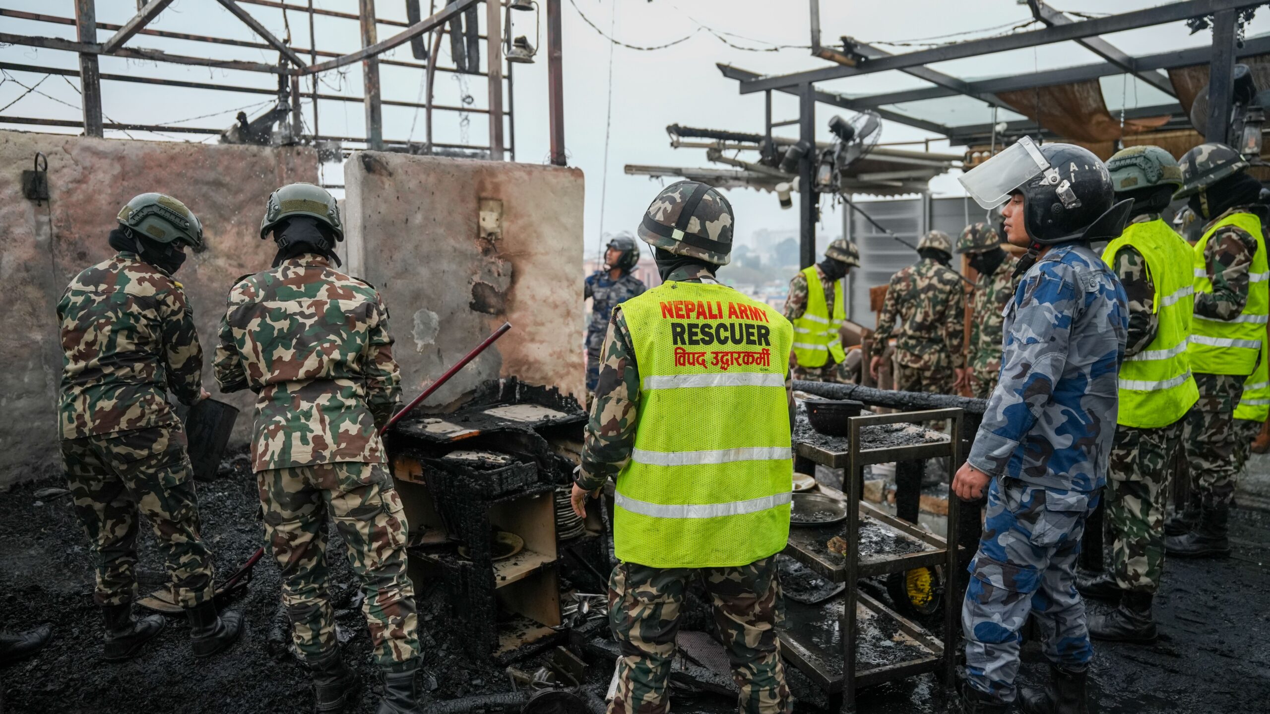
The combination of shallow depth, high magnitude, and dense population has resulted in significant structural damage and loss of life in East Nusa Tenggara. As emergency services work to reach isolated villages in Nagekeo, the focus remains on rescue operations and the assessment of ongoing risks. The events in Indonesia, alongside the recent tremors in neighboring Pacific nations, highlight the continuous need for robust disaster preparedness and rapid response capabilities in seismically prone regions.