
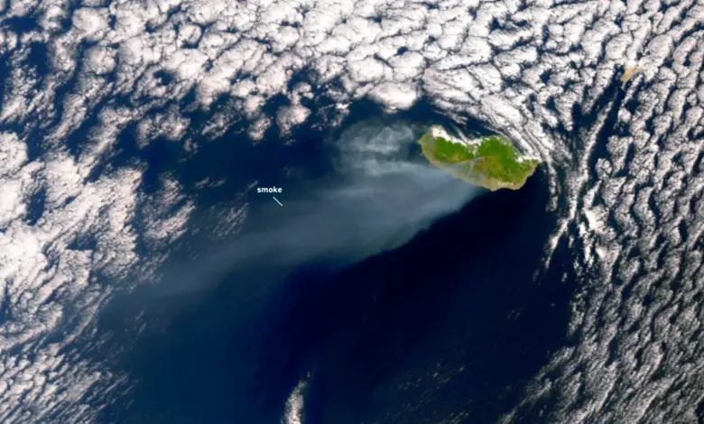
The fire began on August 14, quickly spreading eastward toward Curral das Freiras and Câmara de Lobos. According to the European Forest Fire Information System (EFFIS), which utilizes data from NASA’s Terra and Aqua satellites, the burned area comprised primarily woodland, shrubland, and broadleaf forest. By August 20, the total area affected exceeded 5,700 hectares, a figure that aligns with earlier reports of over 3,500 hectares burned, suggesting the fire continued to expand significantly in its first week. The rapid spread was facilitated by meteorological conditions, including temperatures hovering around 30 degrees Celsius (86 degrees Fahrenheit) and wind gusts reaching up to 70 kilometers (43 miles) per hour.
The ecological implications of this event are profound. Madeira is home to a wide variety of flora and fauna, many of which are endemic to the region, meaning they exist nowhere else on Earth. The destruction of over 150 square miles of vegetation represents a substantial loss of habitat. Satellite imagery acquired by the Copernicus Sentinel-2 on 9 November 2024 provides a clear visual record of the “scar” left by the fire, highlighting the stark contrast between the green vegetation and the burnt landscape. This high-frequency satellite data is critical for monitoring the state of vegetation and assessing the long-term recovery of the ecosystem.
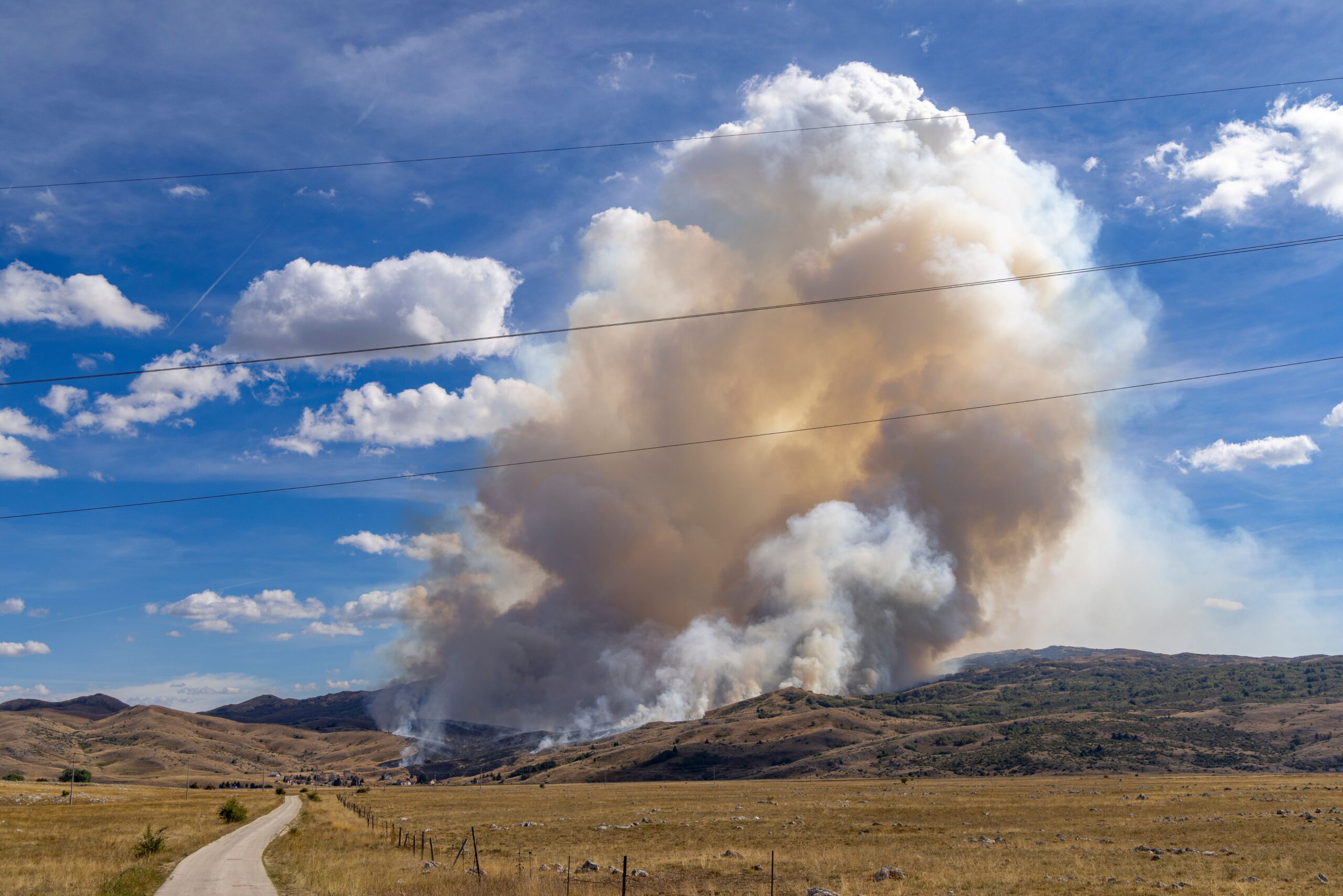
The fire also presented a significant risk to human safety and infrastructure. As the flames moved through difficult-to-access hilly terrain, local authorities activated the Regional Civil Protection Emergency Plan. By August 18, more than 160 people had been evacuated from their homes, a number that exceeds earlier reports of at least 100 residents displaced. Firefighters, numbering over 120 and supported by 43 vehicles and several aircraft, battled the blaze on multiple fronts. Despite these efforts, the fire came close to population centers in Curral das Freiras and Câmara de Lobos. However, local authorities confirmed that as of August 20, no property had been damaged, despite the proximity of the active fire fronts to residential areas.
Satellite observations from multiple platforms corroborate the scale of the event. On August 17, the Operational Land Imager (OLI) on Landsat 8 captured images showing the fire burning on three active fronts, with smoke streaming from the southern coast of the island over the Atlantic Ocean. A subsequent image from the Copernicus Sentinel-3 satellite on August 18 revealed a smoke plume extending 130 kilometers in length, illustrating the atmospheric impact of the burning vegetation. These observations help distinguish between the immediate, localized effects of the fire and the broader regional air quality implications.
The distinction between the initial outbreak and the full extent of the damage is crucial for understanding the event’s severity. While early reports on August 15 focused on the rapid spread from Serra de Água, subsequent data from EFFIS and NASA Earth Observatory provide a more comprehensive picture of the total area consumed. The consistency between the 5,700-hectare figure reported by EFFIS and the visual evidence from Sentinel-2 and Landsat 8 reinforces the accuracy of the damage assessment. The fire’s trajectory, moving from the mountains down toward the coast, underscores the vulnerability of the island’s fragmented landscape, where forested areas meet human settlements.
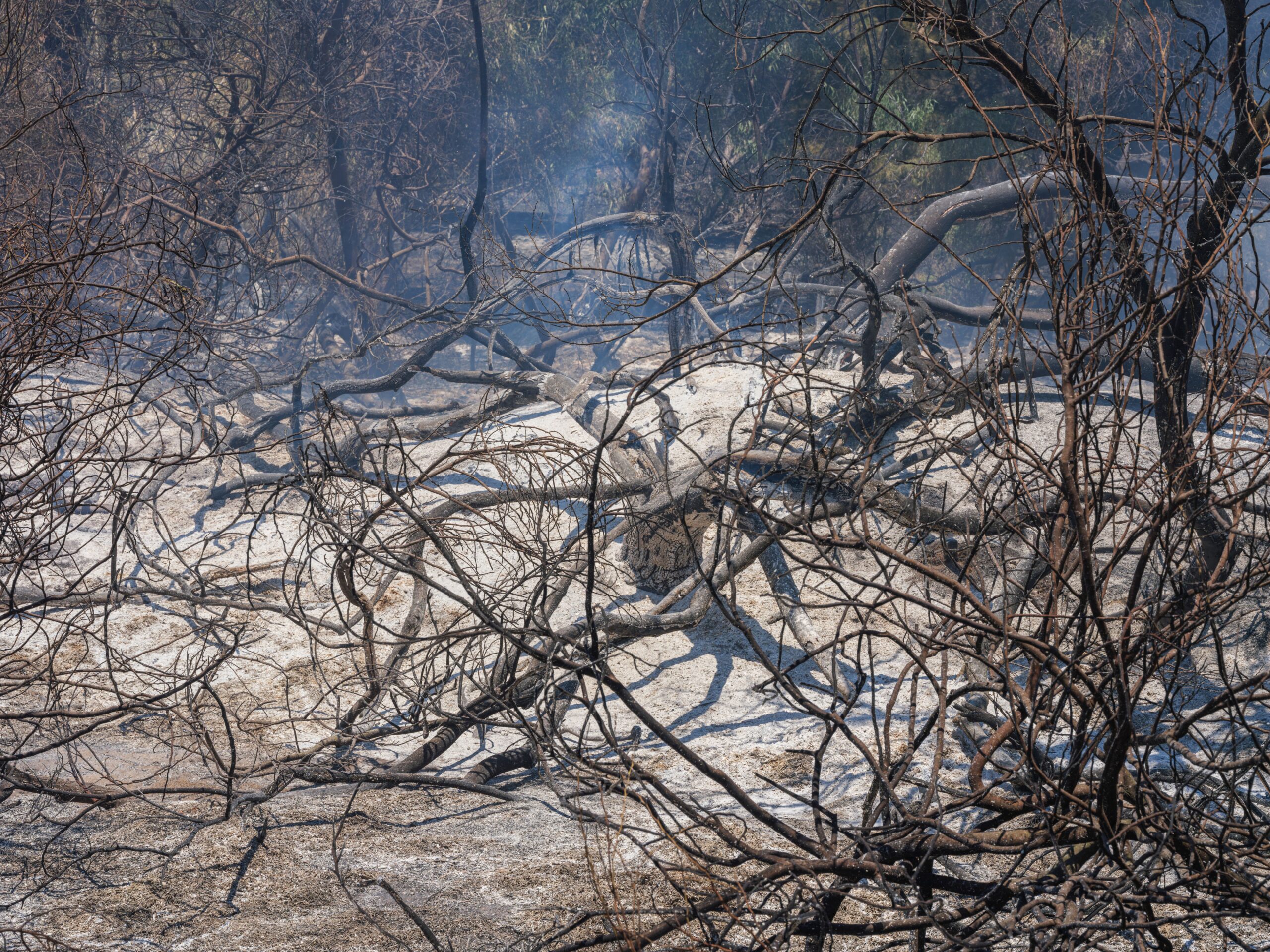
The restoration of the affected area will require significant time and resources, given the endemic nature of the species involved. The loss of broadleaf forest and shrubland in the north-west of the island affects not only individual species but also the broader ecological stability of the region. Monitoring efforts using Sentinel-2 data will likely continue to track vegetation regrowth and identify areas most at risk of erosion or secondary ecological collapse. The event serves as a stark reminder of the risks posed by extreme weather conditions to isolated ecosystems with high levels of endemism.
As of the latest reports, the immediate threat to property has been mitigated, but the environmental impact remains a subject of ongoing scientific assessment. The precise long-term effects on the endemic flora and fauna are yet to be fully quantified, and further studies will be necessary to determine the resilience of the local ecosystems. The activation of emergency protocols and the international coordination of satellite data highlight the complex interplay between local disaster response and global environmental monitoring in addressing the consequences of such events.