The alerts, which cover the West Midlands and the north west of England, are in effect from 09:00 GMT on Thursday until 12:00 GMT on Saturday. These warnings are part of a seasonal protocol usually active between 1 November and 30 March, reflecting the predictable yet variable nature of British winters. The health significance of this cold snap lies not necessarily in a mass surge of acute illness, but in the heightened vulnerability of specific populations. The UKHSA warns that the upcoming conditions are likely to have minor impacts on broader health and social care services, yet they pose a “greater risk to life of vulnerable people.” This distinction is critical: while the general population may experience discomfort, the physiological stress of cold exposure can exacerbate underlying cardiovascular and respiratory conditions in older adults and those with limited mobility or heating resources.
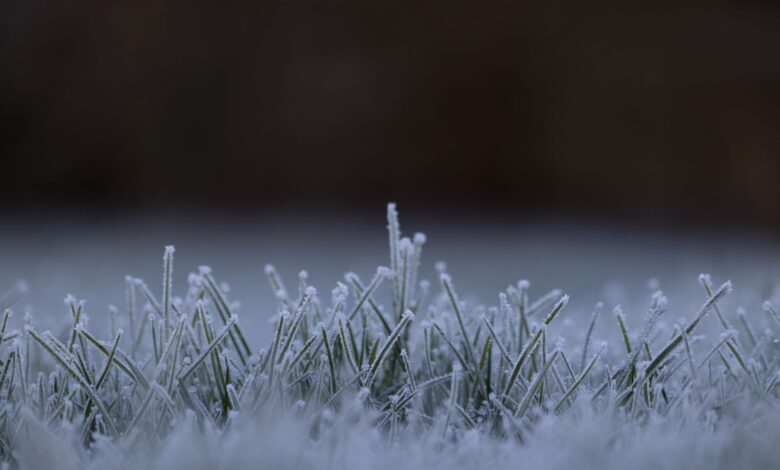
The meteorological drivers behind these health warnings are specific and intense. From midweek onward, a blast of Arctic air is set to sweep into the country, bringing the most widespread frost of the season so far. In rural locations, overnight temperatures could dip to minus 5C or lower, creating a stark contrast to the milder conditions expected in coastal areas. The combination of low temperatures and strong wind gusts, particularly in the far north, will create bitter conditions. In Northern Scotland, for instance, a strong to gale force northerly wind is expected to develop by Wednesday night, with gusts exceeding 50mph. This wind chill significantly lowers the “feels like” temperature, a metric that accounts for air temperature, relative humidity, and wind strength. On Thursday, this effect is projected to keep perceived temperatures in the single figures, even where ambient air is slightly higher.
For clinicians and public health officials, the primary concern during such events is the prevention of hypothermia and the exacerbation of cold-related illnesses. The evidence suggests that while the cold snap is brief—milder weather is already spreading in from the Atlantic by the weekend—the immediate window of risk is significant. The period between Thursday night and Friday morning is identified as the peak of the cold, with frost forming on grass, pavements, and vehicles from Scotland to Southern England. Inland areas, shielded from the moderating influence of the sea, will experience the harshest conditions, with daytime highs peaking at only 6 or 7C for most. Conversely, counties along the western and southern western coasts will remain somewhat milder, as the warmer sea and onshore breezes prevent frost from forming. This geographic variance underscores the localized nature of cold-related health risks, requiring targeted rather than uniform public health responses.
The issuance of these alerts serves as a trigger for various preparedness measures. For health systems, it signals the need to ensure that emergency departments and primary care clinics are staffed appropriately to handle potential increases in respiratory infections and cardiovascular events, which are statistically more common during cold spells. The UKHSA’s guidance emphasizes the protection of the most at-risk individuals, including the elderly, the very young, and those without adequate heating. The alerts are not a prediction of widespread service failure, but a precautionary measure to highlight the “greater risk to life” mentioned in the official warning. This aligns with broader public health strategies that aim to reduce mortality during winter months by encouraging early intervention and community support.
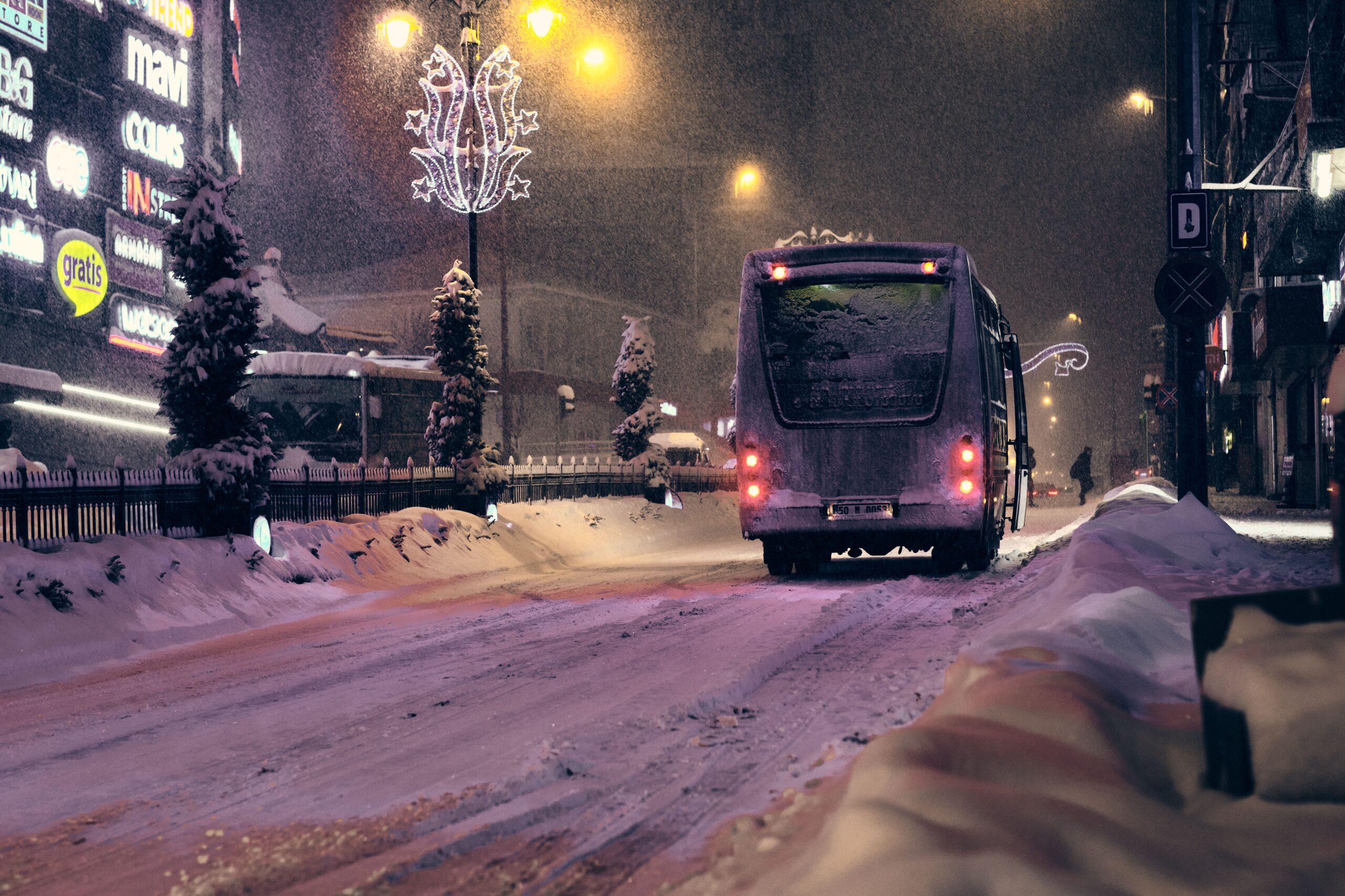
The broader context of this cold snap includes its place within a larger seasonal pattern. While this is the first alert of the season, it sets the stage for the winter period where such events may become more frequent. The presence of sleet and snow in far northern locations, such as Shetland and Orkney, adds an element of logistical challenge for emergency services and healthcare providers, potentially delaying access to care for those in remote areas. However, for the majority of the country, the primary health impact will be related to thermal comfort and the management of chronic conditions in cold environments. The clarity of the skies on Thursday afternoon, despite the cold, offers a visual marker of the high-pressure ridge building inland, a weather pattern often associated with the still, frigid air that can trap pollutants near the ground, further affecting respiratory health in urban centers.
As the weekend approaches, the situation is expected to improve. By Saturday and Sunday, milder air from the Atlantic will begin to displace the Arctic mass, making the cold snap rather brief for most of the population. This rapid transition is characteristic of the transitional weather often seen in late autumn, where cold and warm fronts collide. For public health planning, this brevity is a mitigating factor, reducing the duration of exposure to extreme cold. However, the initial impact on vulnerable groups during the peak cold days of Thursday and Friday remains the focal point for health authorities. The alerts will lapse after 12:00 GMT on Saturday, but the lessons for winter preparedness remain relevant for the months ahead.
The introduction of these cold health alerts represents a structured response to a predictable seasonal hazard. By clearly defining the at-risk regions and the specific timeframe of the greatest danger, the UKHSA allows local health systems, social services, and community organizations to coordinate their efforts. The goal is not to instill fear, but to ensure that the most vulnerable members of society have access to the support they need to stay warm and safe. As the frost settles on the ground across England, the focus shifts to the practical measures that individuals and communities can take to navigate the winter months, ensuring that the cold weather does not translate into preventable health outcomes for those most at risk.